Site selection

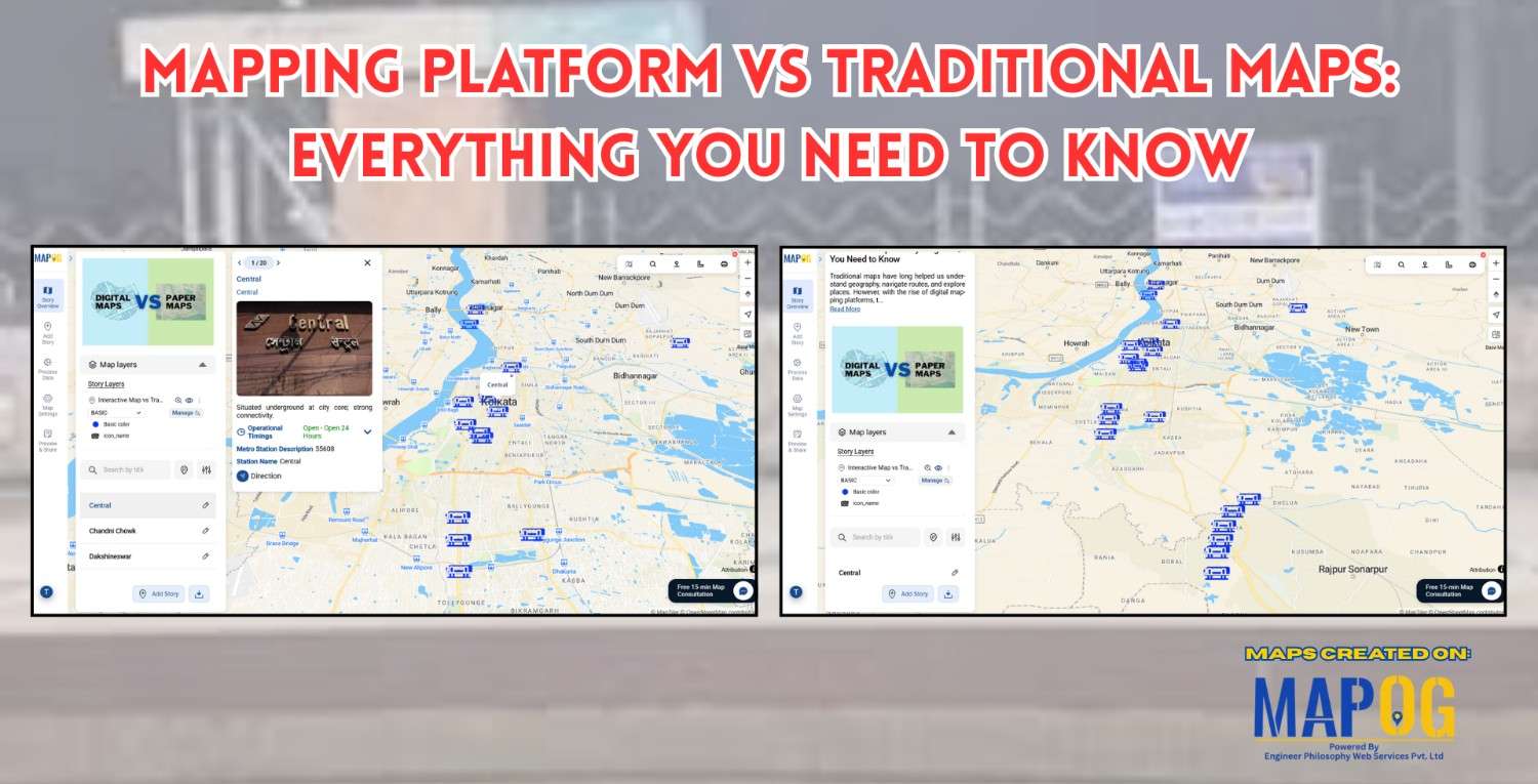
Mapping Platform vs Traditional Maps

Mapping Platform vs Traditional Maps: Everything You Need to Know

In today’s world, mapping platform vs traditional maps is a common debate, meanwhile where technology drives nearly every decision, the way we view and use maps has transformed dramatically. Historically, traditional maps once served as our primary guides offering static representations of geography, routes, and landmarks. However, with the rise of modern mapping platforms like … Read more

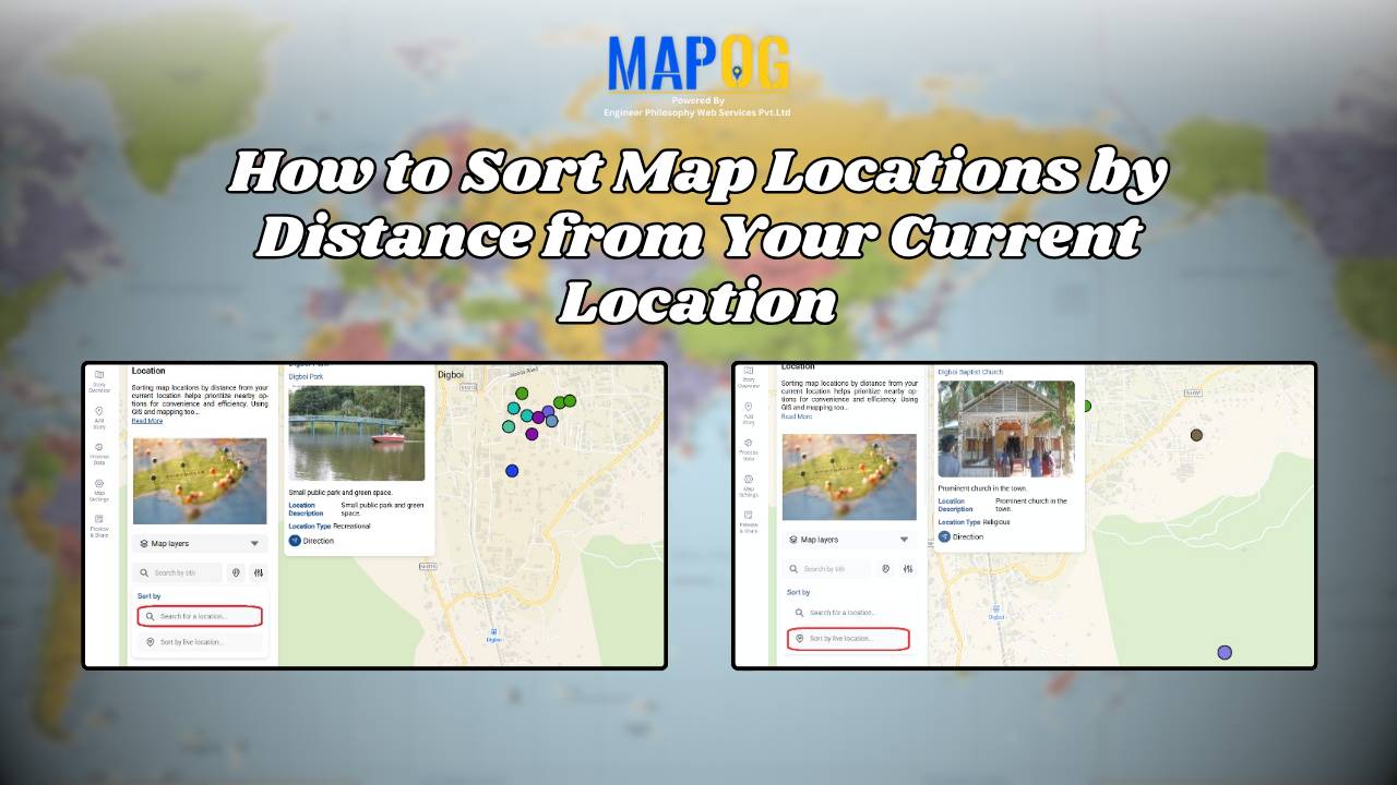
How to Sort Map Locations by Distance from Your Current Location

In today’s fast-paced, location-driven world, knowing exactly where things are in relation to you is essential. Whether it’s finding the nearest hospital during an emergency, locating a petrol pump while traveling, or discovering nearby restaurants and stores, thus being able to sort map locations by distance from your current location can save significant time and … Read more

Share an Interactive Map with Teammates (View or Edit Access)

Best Way to Share Interactive Maps Online with View and Edit Access

Today, readers and team members expect more than just static information when exploring content or managing data online. Whether it’s tracking locations, updating details, or monitoring progress, interactive maps make collaboration simple and engaging. With MAPOG, you can easily share an Interactive Map with teammates, assigning view or edit access to ensure the right people … Read more

Draw & Style Property Boundary Polygons on a Map

Draw & Style Property Boundary Polygons on a Map

With the help of GIS, professionals Draw and Style Property Boundary Maps to visualise, manage, and analyze land ownership clearly and efficiently. Whether you are a city planner, a surveyor, a real estate professional, or simply someone trying to understand land parcels in your community, drawing and styling property boundary mapping with GIS includes polygons … Read more

How to Create a Safari Itinerary Map for Your Trip

Create & Share a Safari Itinerary Map for Your Trip

If you’re planning a safari, visualizing your journey on a map can turn your travel plans into an interactive and shareable experience. From visiting to all safari locations and back, mapping your safari helps you track routes, highlight wildlife hotspots, and organize activities. Using MAPOG, you can create a rich safari itinerary map that’s engaging, … Read more

How GIS Mapping Helps Farmers Manage Irrigation and Reduce Water Waste

GIS in irrigation has become a cornerstone of sustainable agriculture, particularly in the face of increasing water scarcity and climate variability. In this context, one of the most powerful tools that enables farmers and planners to optimize water resources. By combining spatial data with advanced mapping techniques, GIS not only helps farmers manage irrigation more … Read more

Monitor Deforestation-Free Farming Using GIS Mapping and Spatial Analysis Tools

In sustainable land management, it’s critical to monitor deforestation-free farming using spatial GIS tools that help understand how agriculture interacts with ecosystems. As deforestation becomes a pressing concern, agri-businesses and regulators require spatial evidence to ensure farming doesn’t encroach on forested areas. With MAPOG, spatial data becomes a powerful tool for environmental accountability and transparent … Read more

Mapping Emergency Services Near Education Institutions Using GIS

How to Map Emergency Services Near Educational Institutions Using GIS Tools

Ensuring the emergency services Near Education become more critical than ever safety of students in educational institutions is a high priority in urban and regional planning. As cities expand rapidly and population density increases.  This article explains how Geographic Information Systems (GIS) can be effectively used to map emergency services near educational institutions. For this … Read more

How to Map Rental Properties with Nearby Amenities Using Interactive GIS Maps

Whether you’re a real estate agent, property manager, or investor, mapping rental properties with key nearby amenities gives your listings the edge. In fact, visual maps offer clarity, transparency, and better decision-making for both renters and owners. By combining precise coordinates with contextual data—such as distance from schools, hospitals, or parks—you ultimately make the rental … Read more

Create a map Fire Stations to Industrial Areas: Mapping Using GIS Tools

In rapidly growing cities, fire safety is critical—particularly in industrial zones, where risk is high and emergency response must be quick. Moreover, fire stations in industrial areas play a key role in reducing disaster response time. This project uses MAPOG, a cloud-based spatial mapping platform, to visualize and analyze coverage gaps in fire response infrastructure. … Read more