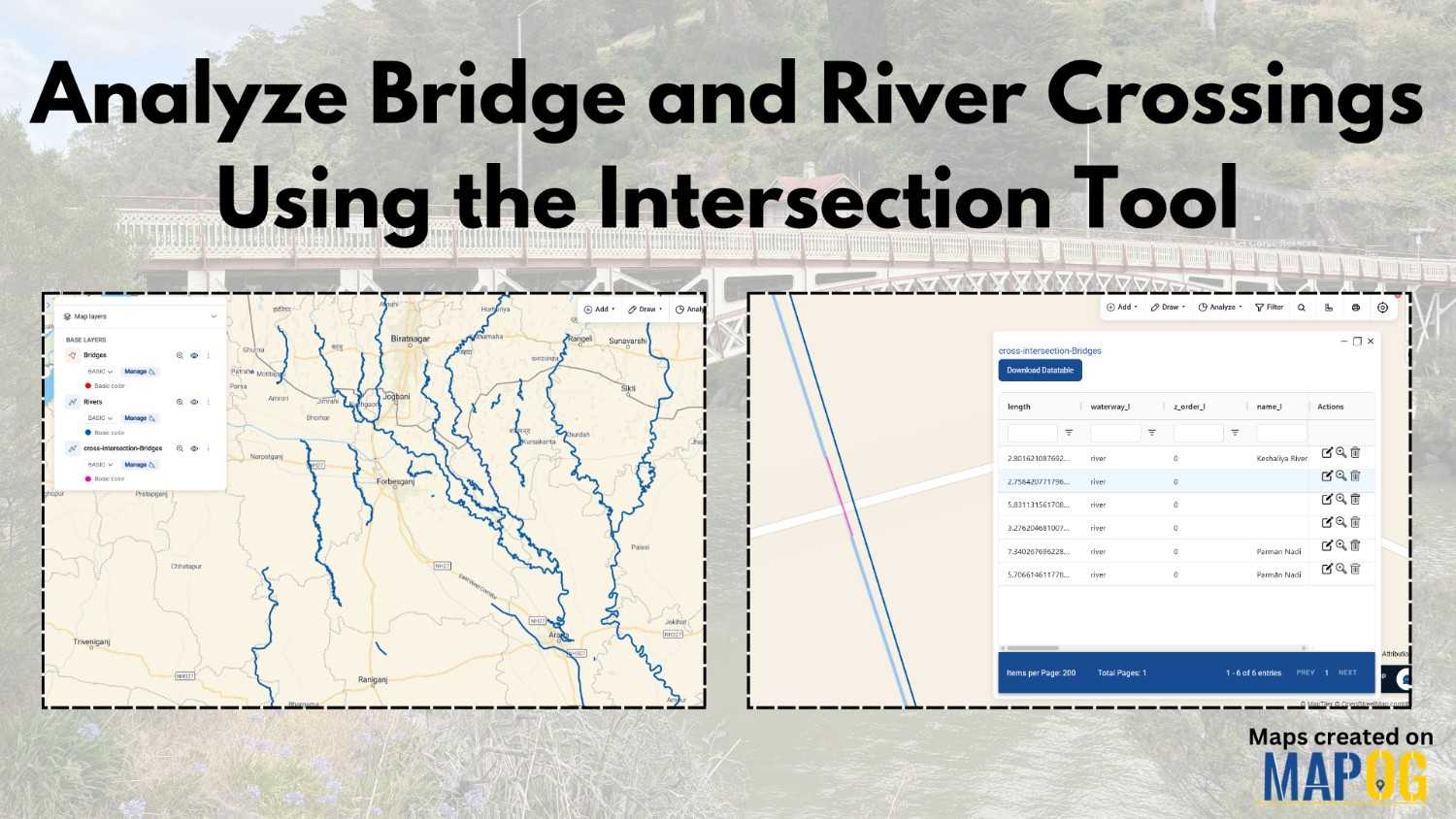
Analyze Bridge and River Crossings Using the Intersection Tool
In infrastructure planning and environmental analysis, one persistent challenge is understanding where bridges intersect rivers and how these crossings impact safety, maintenance, and flood risk. Quite often, this data remains scattered, and therefore, decision-makers face slower and less accurate outcomes. However, when you analyze bridge river crossings using modern GIS tools, you can identify patterns … Read more