Travel Map

Mapping Coastline Marathon with GIS

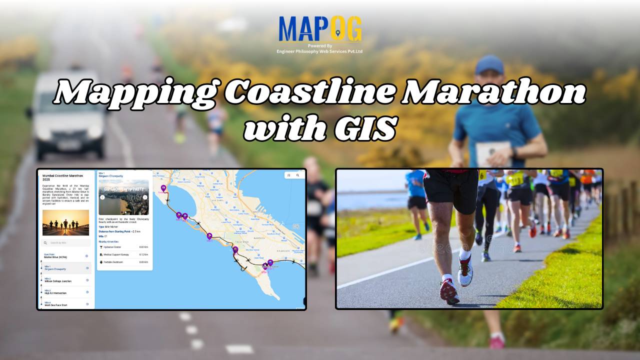
How to Use GIS for Coastline Marathon Route Mapping and Logistics

Mapping Coastline Marathon organizing a marathon along coastline requires accurate GIS mapping . By plotting hydration points, medical tents, and key milestones, planner, smooth logistics, and a great runner experience without complex crowd-flow simulations, using interactive maps with coastline and checkpoint data. Key Concept: Mapping Coastline Marathon Identifies: Uses of Mapping Coastline Marathon Methodology: Mapping … Read more

On-Map Travel Planning How to Build and Share Interactive Itineraries

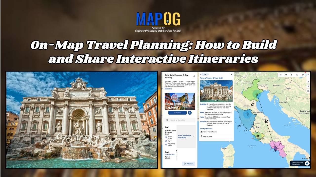
On-Map Travel Planning: How to Build and Share Interactive Itineraries Transform Client Experiences

On-Map Travel Planning: How Interactive Itineraries Transform Client Experiences In modern travel , clients no longer want static itineraries—they want to see their journey unfold. Traditional PDFs and spreadsheets may list activities, but they fail to convey geography, movement, or the emotional arc of a trip. This is where on-map travel planning changes the game. … Read more

electric aerial vehicle routes

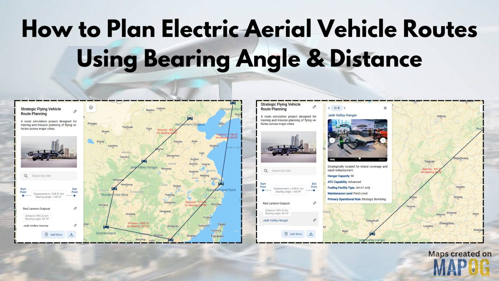
How to Plan Efficient Electric Aerial Vehicle Routes Using Bearing Angle and Distance

Planning efficient electric aerial vehicle routes is, therefore, becoming essential in industries like logistics, disaster response, and surveillance. Not only does a precise route save time, but it also ensures flight safety and energy optimization. Consequently, MAPOG simplifies this process by combining bearing angle & distance calculations with real-world coordinates. In this article, we’ll explore … Read more

Create a Travel Journal on a Map – Add Photos, Notes & Pins

Create a Travel Journal on a Map – Add Photos, Notes & Pins

Planning your next adventure? Don’t just jot down your stops—Create a Travel Journal on a Map to capture every moment. A Travel Journal Map helps you organize memories by location, add photos and notes, and visually share your journey. With MAPOG, it’s easy to plan your route, add key locations, and share it online with … Read more

Best Alternatives to Google My Maps for Sharing Travel Stories

Best Alternatives to Google My Maps for Sharing Travel Stories

If you’re on the lookout for the best alternatives to Google My Maps, you’re not alone. Travelers, bloggers, and content creators are increasingly seeking more flexible, interactive, and storytelling-driven platforms to share their travel memories. While Google My Maps offers basic map-making features, it often falls short in terms of personalization, multi-user collaboration, and storytelling … Read more

Top places to Visit Across India – Visual Travel Guide on Map

India is more than a destination it’s a vibrant journey through culture, nature, and heritage. With the MAPOG code-free mapping platform, you can effortlessly transform your travel plans or blog into an interactive visual experience, highlighting top places to visit across India. From sacred sites to scenic wonders, bring India’s diversity to life all in … Read more

Country Wise UNESCO Guide: Top Heritage Spots on a Map

Create Countrywise UNESCO Map: Top Heritage Spots Guide

Create a country-wise UNESCO Guide Map that highlights both cultural brilliance and natural wonders. On the other hand, by integrating GIS tools, this project enhances public awareness, encourages responsible tourism, and supports heritage preservation. It offers users an educational and immersive storytelling experience that makes exploring global heritage sites more accessible, insightful, and engaging. Key … Read more

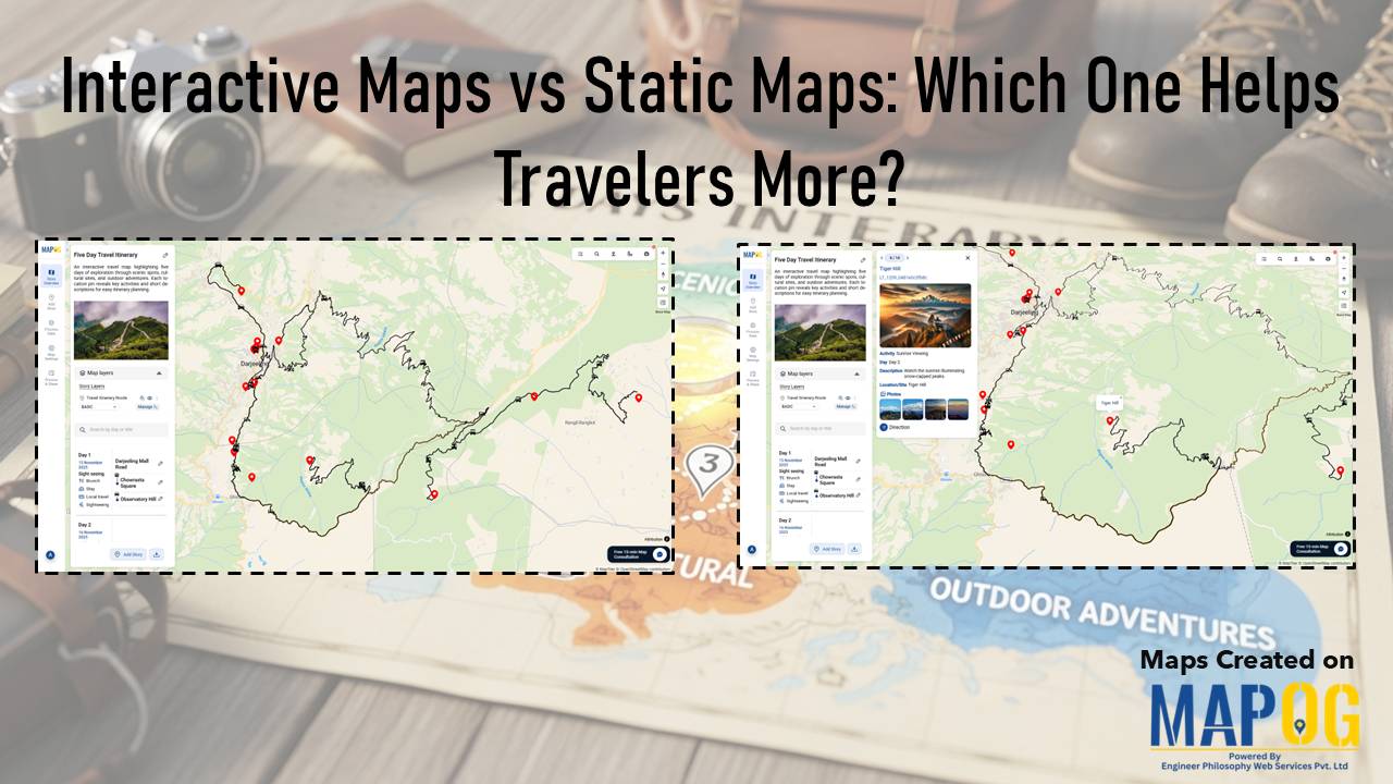
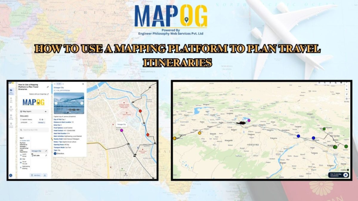
How to Create a Travel Itinerary on a Map and Share It Online

How to Create a Travel Itinerary on a Map and Share It Online

If you’re planning your next big adventure, there’s one thing you shouldn’t skip—how to create a travel itinerary on a map and share it online. It not only helps you stay organized but also allows your friends or travel buddies to follow along in real-time. With intuitive platforms like MAPOG, it’s now easier than ever … Read more

How GIS is Improving Traffic Management and Road Safety  

Traffic congestion and road accidents are major challenges in urban areas, leading to economic losses, increased pollution, and safety risks. As a result, Geographic Information Systems (GIS) have emerged as a powerful tool for analyzing, visualizing, and optimizing traffic flow while enhancing road safety. As a result of integrating spatial data, traffic authorities can identify … Read more

"Safari Itinerary MAP"

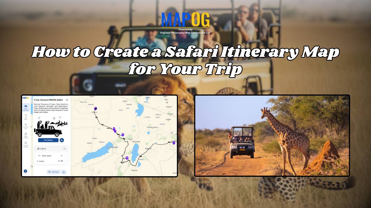
Safari Itinerary on Map: Explore Wildlife Destinations Visually

Planning a wildlife safari involves more than just booking a jeep and packing a camera. In fact, to make the most of your adventure—especially in biodiversity-rich parks like Kaziranga—it’s essential to prepare a detailed safari itinerary on map. By doing so, you can visualize routes, mark important safari zones, and stay organized throughout the journey. … Read more