Add Georeferenced Image Overlays on Map (PNG/GeoTIFF)
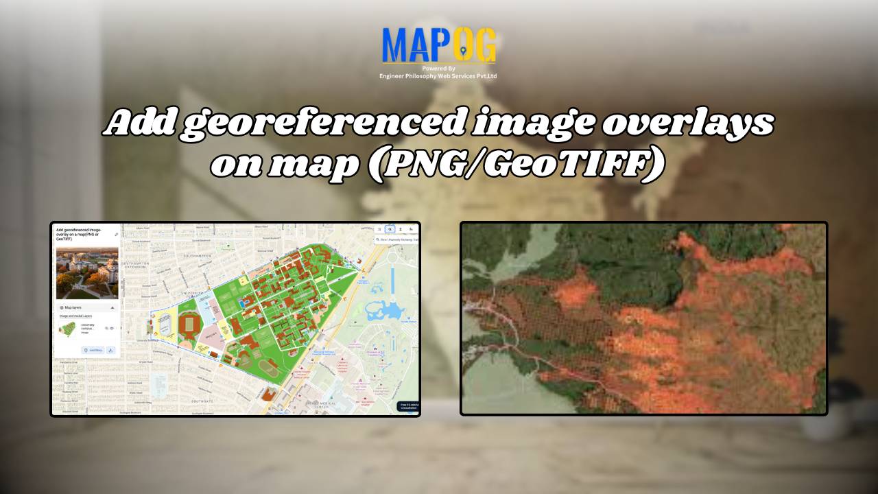
Adding a georeferenced image overlays, such as PNGs or GeoTIFFs, to a map can be challenging, whether it’s a scanned map, satellite image, or custom visual. The main challenge lies in aligning images with real-world locations so landmarks appear at the correct scale. MAPOG simplifies this process, users can upload PNGs and GeoTIFFs, manually align … Read more


