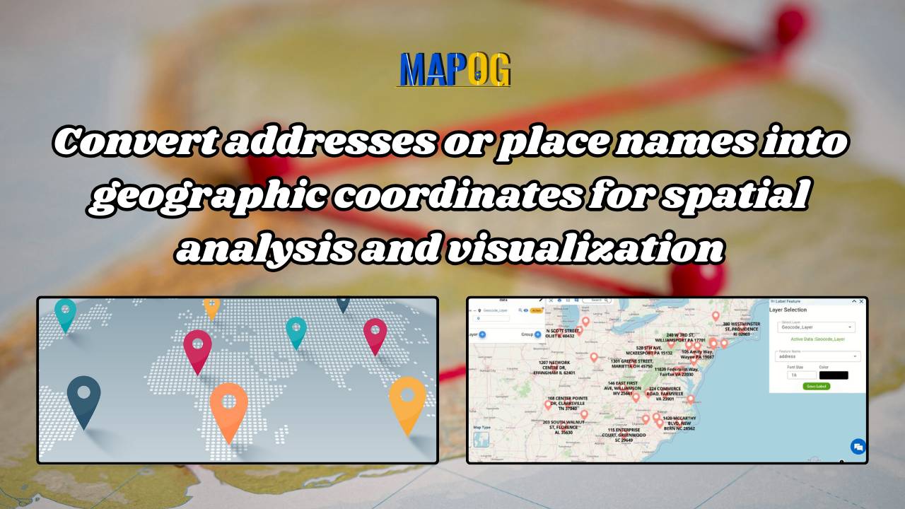
Geocoding

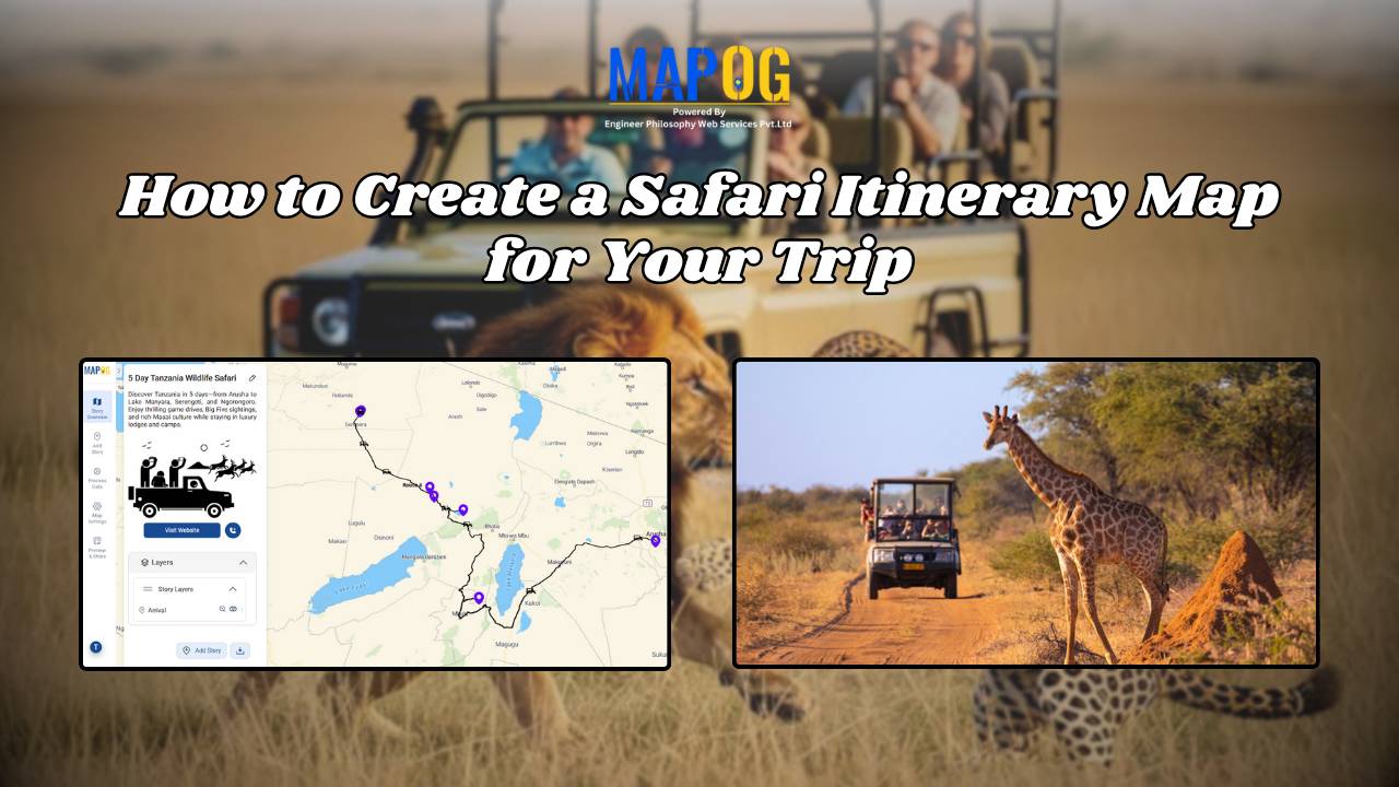
How to Create a Safari Itinerary Map for Your Trip

Create & Share a Safari Itinerary Map for Your Trip

If you’re planning a safari, visualizing your journey on a map can turn your travel plans into an interactive and shareable experience. From visiting to all safari locations and back, mapping your safari helps you track routes, highlight wildlife hotspots, and organize activities. Using MAPOG, you can create a rich safari itinerary map that’s engaging, … Read more

Mapping Cyclone Shelter Locations for Coastal Safety Using GIS

Mapping Cyclone Shelter Locations for Coastal Villages Using GIS

Mapping Cyclone Shelter Locations in coastal villages need quick access to shelters during emergencies. Visualizing shelter locations and their accessibility helps uncover gaps in disaster readiness. With MAPOG, users can build interactive GIS maps showing shelter distribution, village settlements, roads, and key geographic features. Instead of complex tools, this method uses simple layers and spatial … Read more

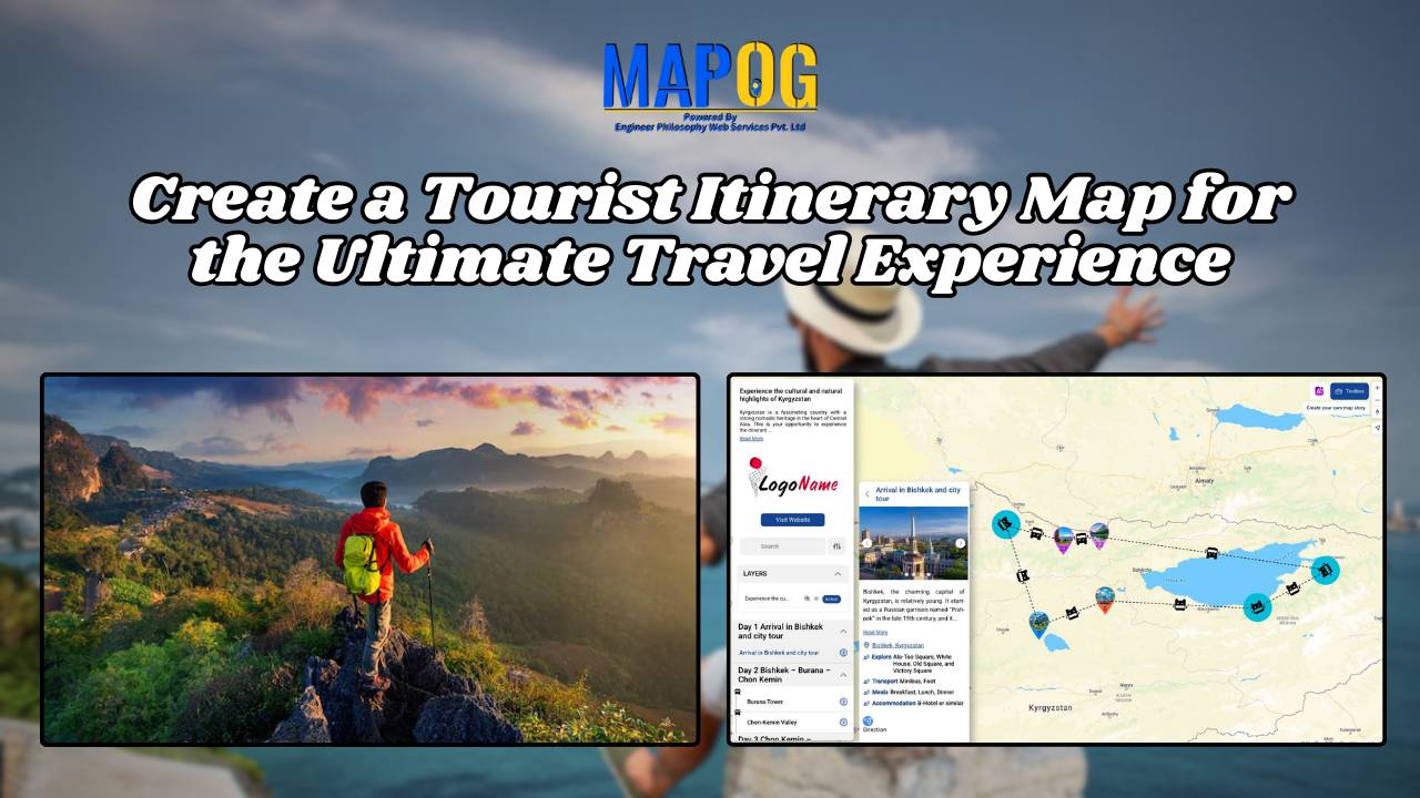
Create a Tourist Itinerary Map for the Ultimate Travel Experience

Create a Tourist Itinerary Map for the Ultimate Travel Experience

Planning a trip can be one of the most exciting yet overwhelming tasks. With multiple locations to visit, and routes to plan, having everything in one place can make all the difference. That’s where a tourist itinerary map comes in handy! Instead of juggling multiple travel apps and notes, you can organize your entire trip … Read more