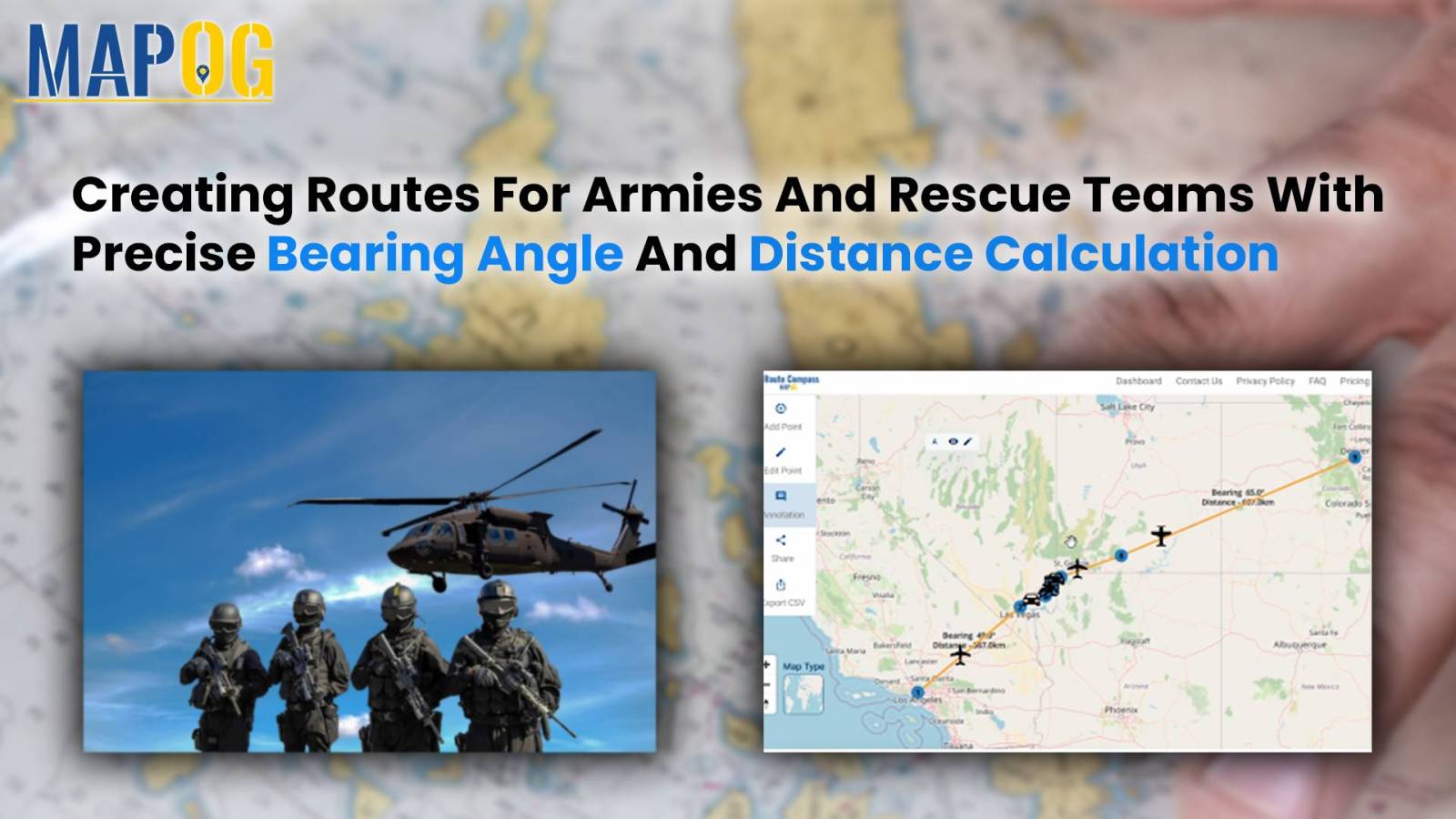
Army and Rescue

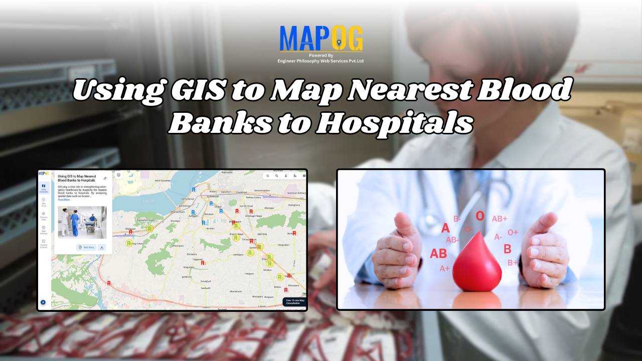
Using GIS to Map Nearest Blood Banks to Hospitals

How GIS Maps the Nearest Blood Banks to Hospitals for Faster Emergency Response

GIS to Map Nearest Blood Banks to Hospitals is revolutionizing emergency healthcare infrastructure. This powerful application enables medical professionals, urban planners, and public health officials to improve accessibility, cut response times, and ensure blood availability during crises. MAPOG provides real-time insights, helping decision-makers coordinate resources and strengthen healthcare networks. Why Use GIS for Mapping the … Read more

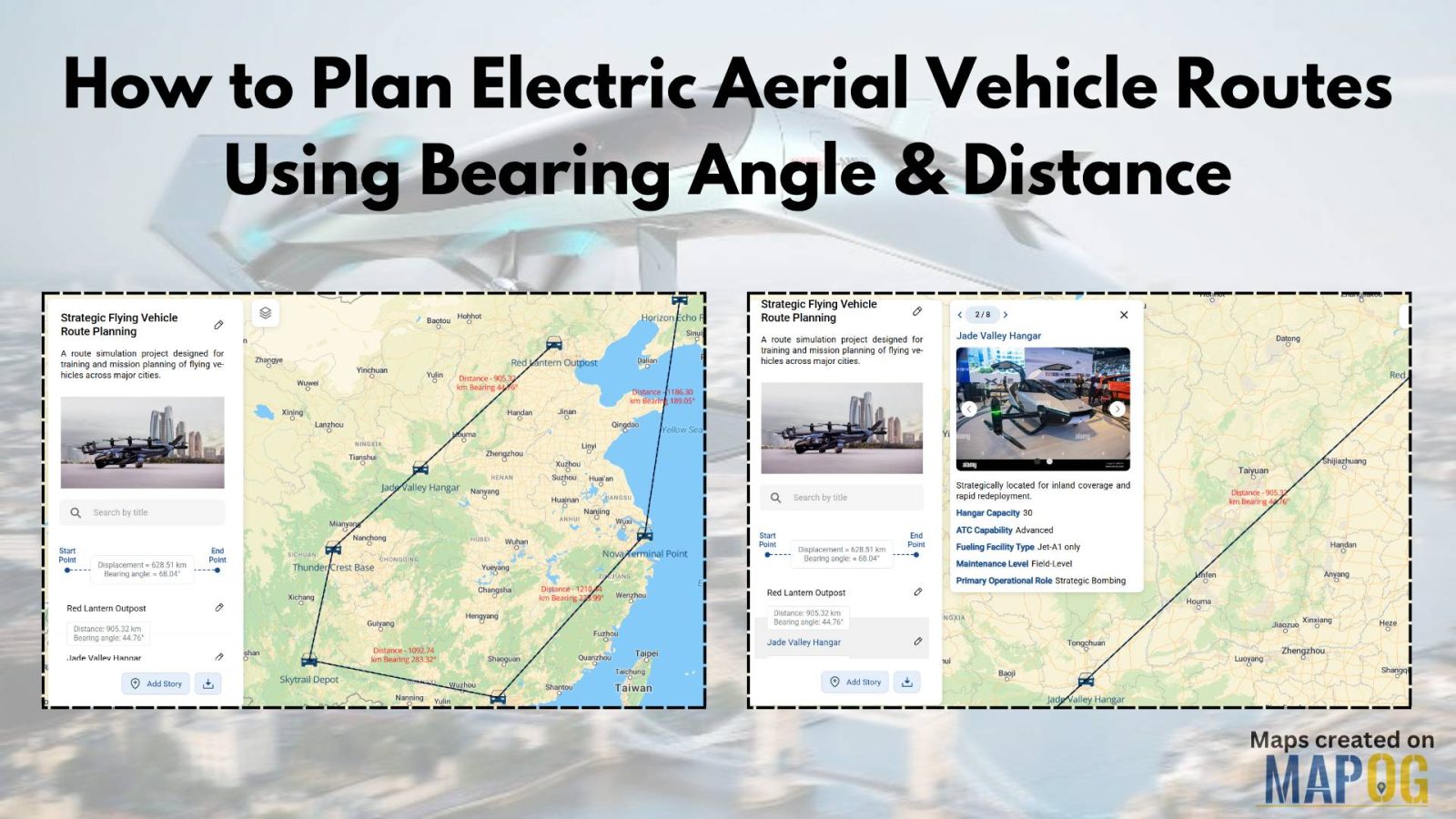
electric aerial vehicle routes

How to Plan Efficient Electric Aerial Vehicle Routes Using Bearing Angle and Distance

Planning efficient electric aerial vehicle routes is, therefore, becoming essential in industries like logistics, disaster response, and surveillance. Not only does a precise route save time, but it also ensures flight safety and energy optimization. Consequently, MAPOG simplifies this process by combining bearing angle & distance calculations with real-world coordinates. In this article, we’ll explore … Read more

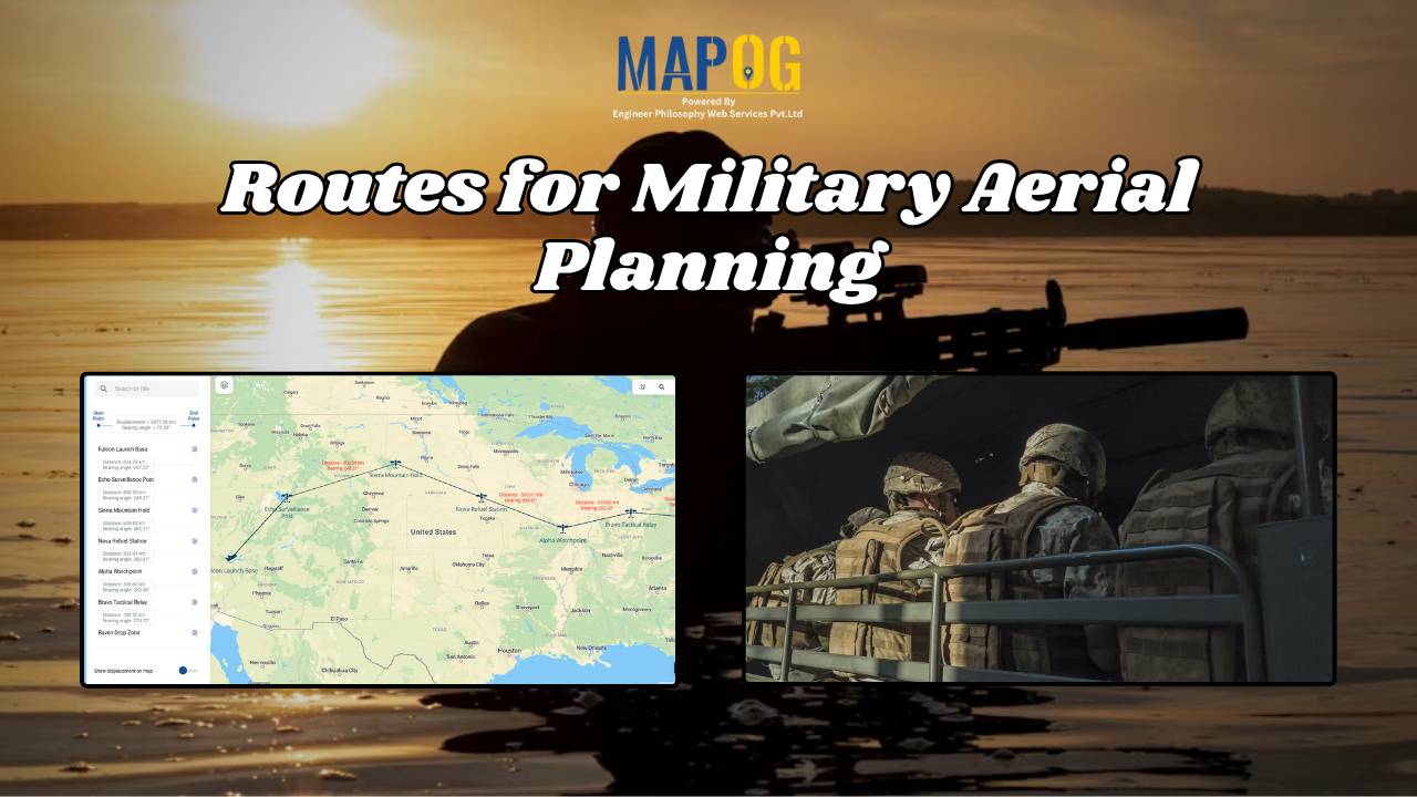
Mapping Military Flight Paths

Mapping Military Flight Paths: How GIS Helps Calculate Distance and Bearing Angles

Mapping Military Flight Paths is a crucial component in modern aerial defense planning. With the continuous rise of geographic intelligence, GIS technology now plays a central role in not only plotting accurate coordinates but also in calculating distances and determining precise bearing angles. This process, therefore, goes far beyond simply drawing lines on a map—it … Read more