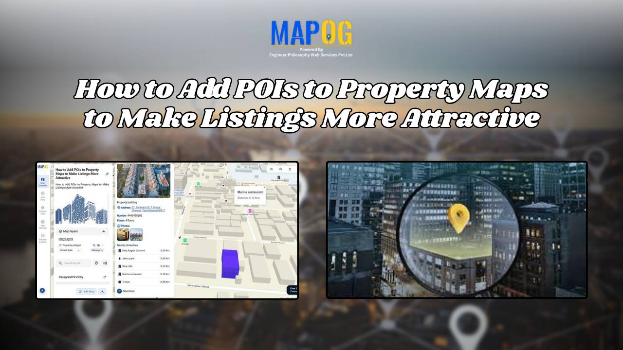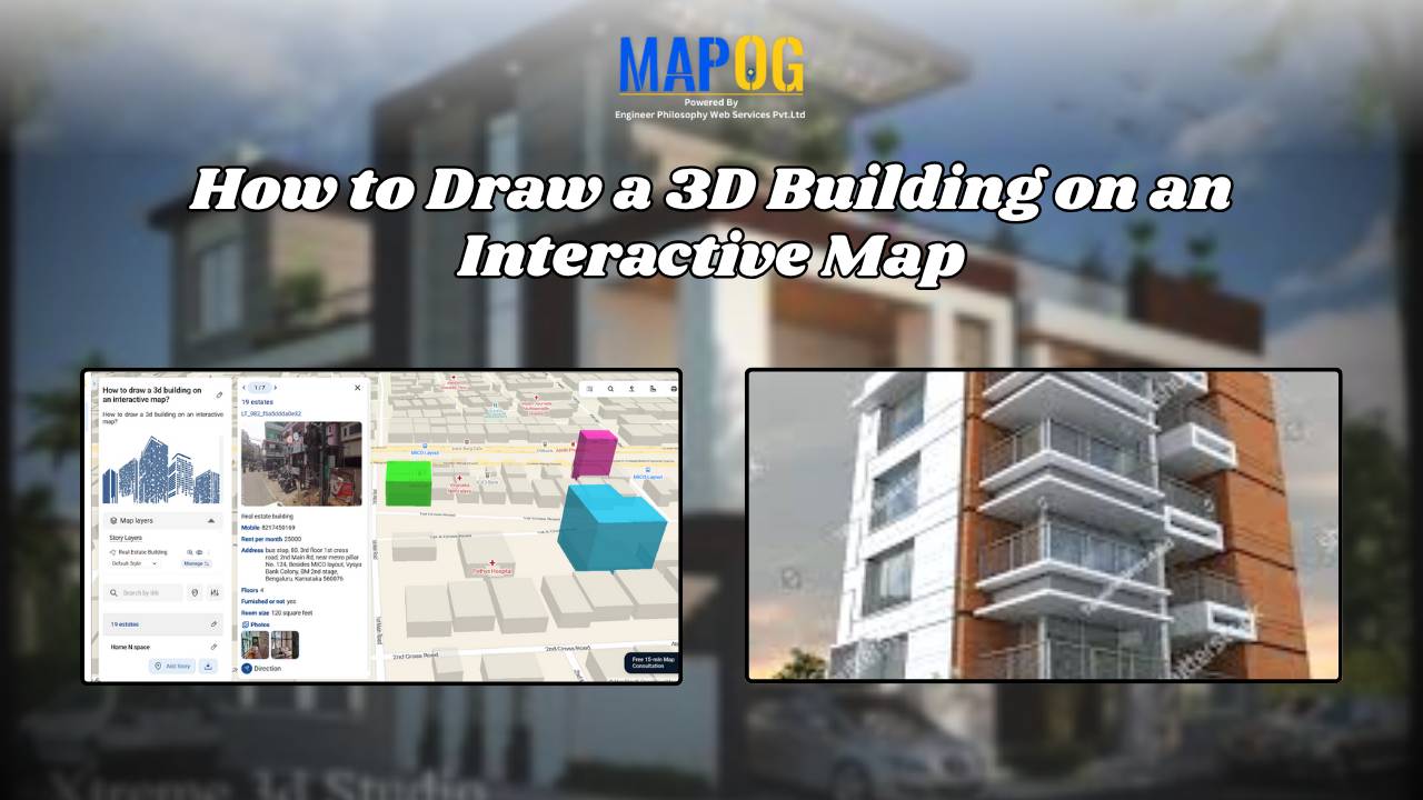
How Real Estate Agents Can Use Map to Show Real Estate Properties with nearby Amenities?
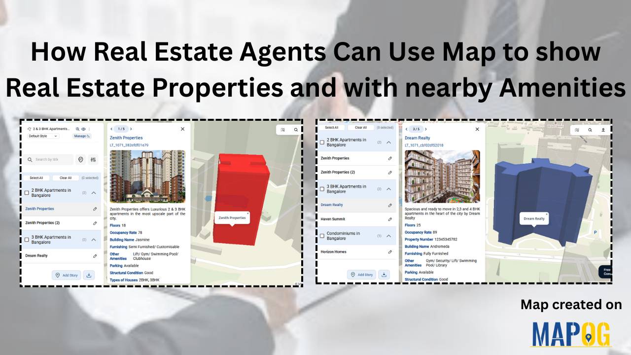
Looking to make your real estate property listings stand out? With MAPOG, real estate agents can map real estate properties with nearby amenities easily to create interactive property maps that enhance clarity, transparency, and decision-making for potential buyers and renters. By integrating accurate location coordinates with valuable contextual data—such as proximity to schools, hospitals, shopping … Read more