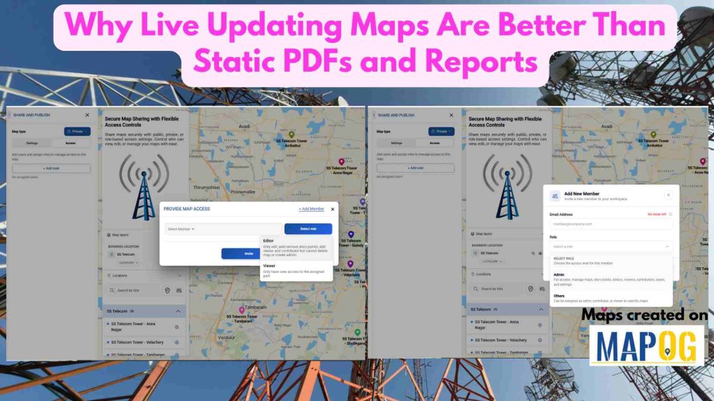
Businesses today rely on location data to make faster and smarter decisions. However, static PDFs and reports quickly become outdated, requiring constant revisions and redistribution. Live updating maps solve this problem by displaying the latest information in real time, ensuring everyone works with the most accurate data. With MAPOG, organizations can transform static reports into Interactive maps that automatically reflect updates, making collaboration, analysis, and decision-making more efficient.
Key Concepts
Live updating maps automatically reflect changes made to the underlying data, eliminating the need to create and share new reports every time information changes. Unlike static PDFs, interactive maps allow users to zoom, search, filter, and explore location-specific details directly. MAPOG enables organizations to connect live data with maps, ensuring that team members, clients, and stakeholders always access the most current information. Maps can also be shared through links or embedded into websites for easy access across devices.
Steps of Why Live Updating Maps Are Better Than Static PDFs and Reports
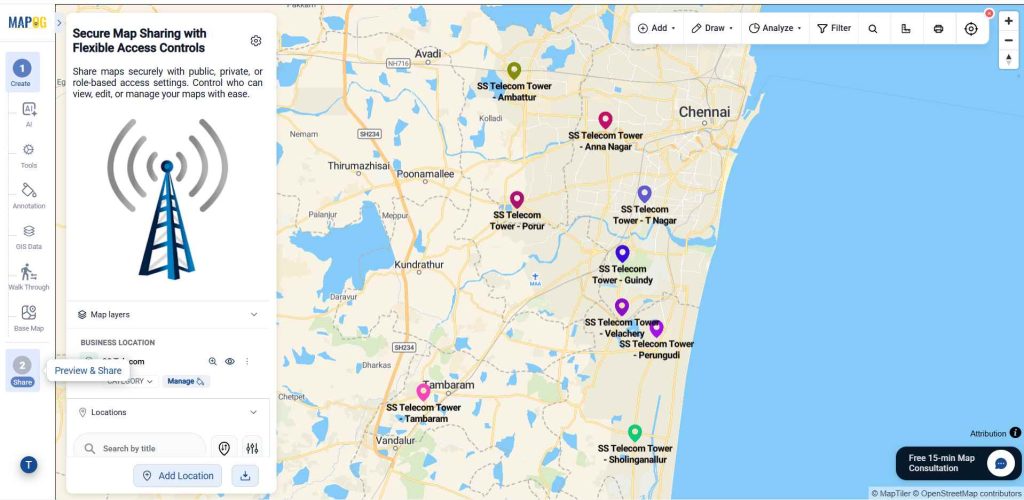
1.Select Preview & Share:
Once you are done with your map in MAPOG, go “preview & share“.
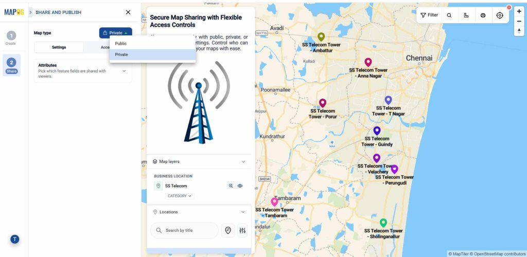
Select how you want to share your map. Choose Private to restrict access to selected users only, or Public to make the map accessible to anyone with the link.
2. Select attributes:
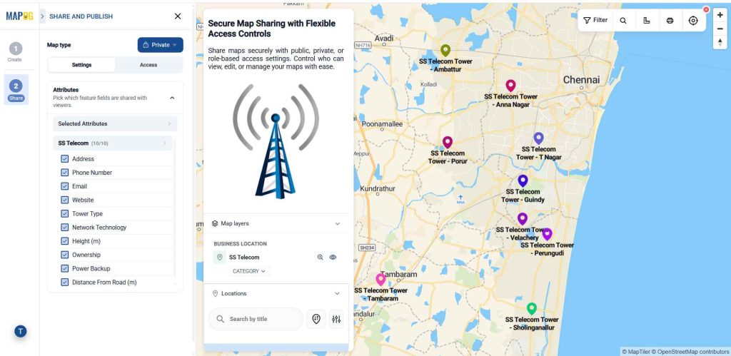
First with the private section. In the Settings section, you can find the Attributes option, which helps you choose which fields you want to share with viewers. Click on it, then select the Selected Attributes option. After that, choose the fields you want to share.
3. Provide access by adding users:
Go to the access, then select Add User, then click Add Member. This feature lets you give map access and assign roles based on requirements.
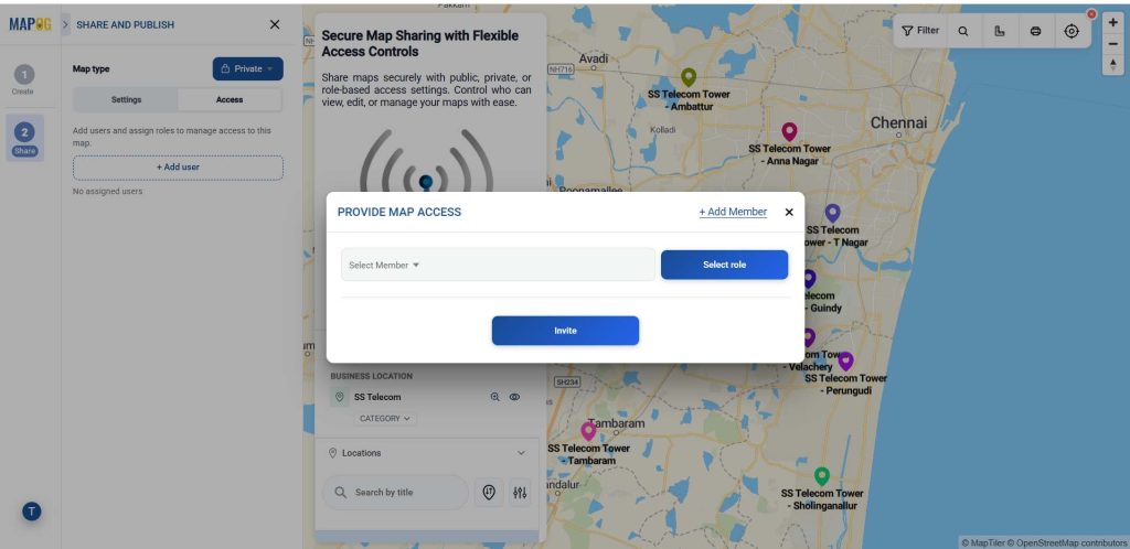
Enter the user’s email ID, then select the appropriate role. An Admin has full control over the map, including adding story points, editing content, managing users (Admins, Editors, Viewers, and Contributors), deleting maps, and adding map layers. Any updates made by an Admin are reflected instantly for all users with access, ensuring everyone always views the latest information without the need to resend updated files or reports. Others can be assigned roles such as Editor or Viewer based on access requirements.
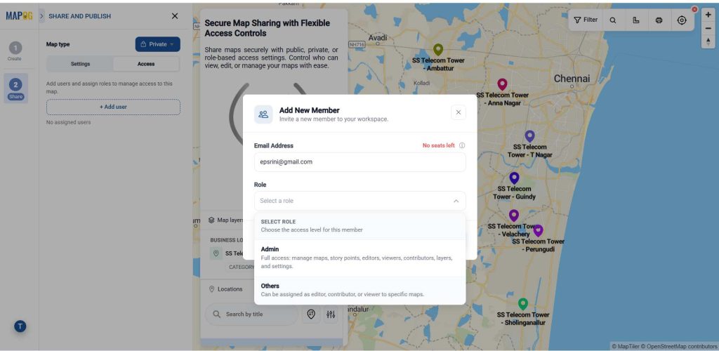
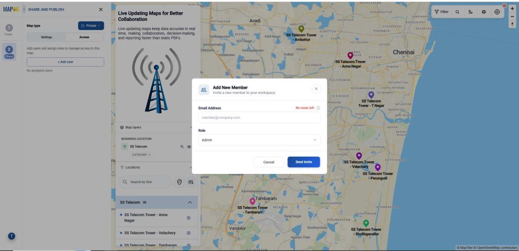
Then click on send invite.
Now, select the members in the select member drop down option.
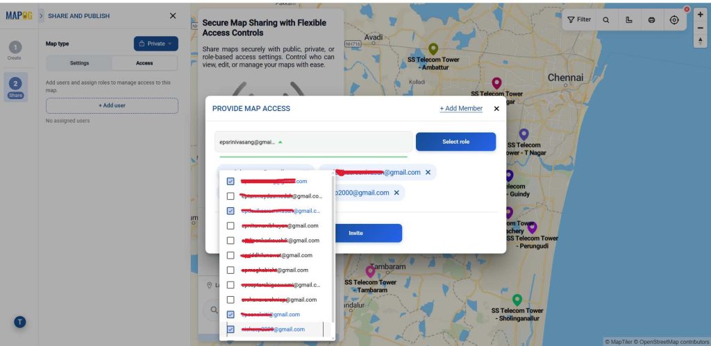
In the Select Role option, assign the appropriate access level. Editors can update map content, manage story points, and add Viewers or Contributors, but cannot delete the map or create Admins. Every change made by an Editor is updated live on the shared map, allowing Viewers to instantly see the latest information with view-only access. This eliminates version confusion and makes live maps far more effective than static PDFs or reports, which require manual updates and redistribution.
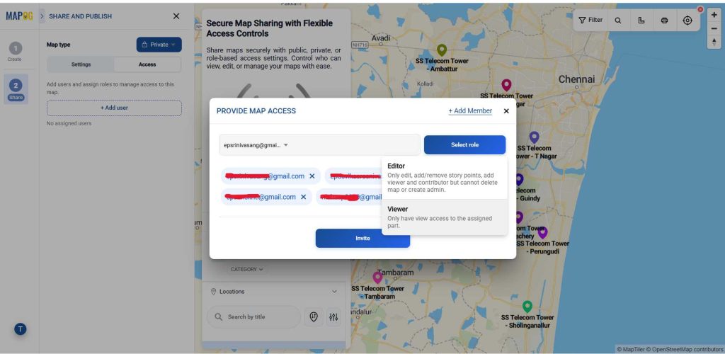
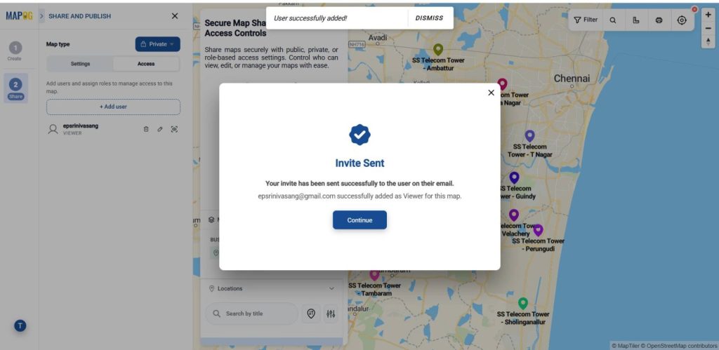
Then give an invite to an individual or team. Then now the inviter will receive the map access link.
Applications of Why Live Updating Maps Are Better Than Static PDFs and Reports
Live updating maps make collaboration effortless across teams. As an Admin or Editor updates locations, attributes, or story points, the changes appear instantly for everyone with access—keeping Viewers and stakeholders on the latest version without resending PDFs or reports. Operations teams can monitor assets, deliveries, and field activities in real time. Sales and marketing teams always have the latest customer and territory information. Project managers can share live project progress with stakeholders, while government agencies, utilities, logistics companies, and real estate businesses. It can make faster decisions using maps that stay up to date automatically.
Conclusion
Live updating maps provide a more efficient and reliable alternative to static PDFs and reports. By delivering real-time information through interactive visualizations, organizations can improve collaboration, reduce manual updates, and make better decisions with confidence. With MAPOG, businesses can easily create, update, and share dynamic maps that keep everyone working with the latest location intelligence. Here are topics related to this topic: