Sustainable Development

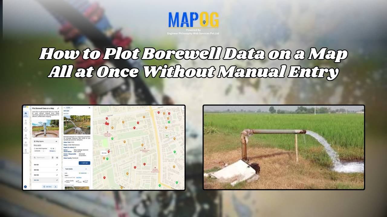
How to Plot Borewell Data on a Map All at Once Without Manual Entry

In water resource projects, visualizing borewell data is crucial for informed decision-making. Manual plotting, however, is tedious and error-prone. The ability to plot borewell data on a map simultaneously, without manual entry, makes the process faster and more reliable. MAPOG simplifies this through features like “Add by uploading CSV/Excel” and integrated task management. This then … Read more

Measure Distance & Area on a Map (Free Online Tool)

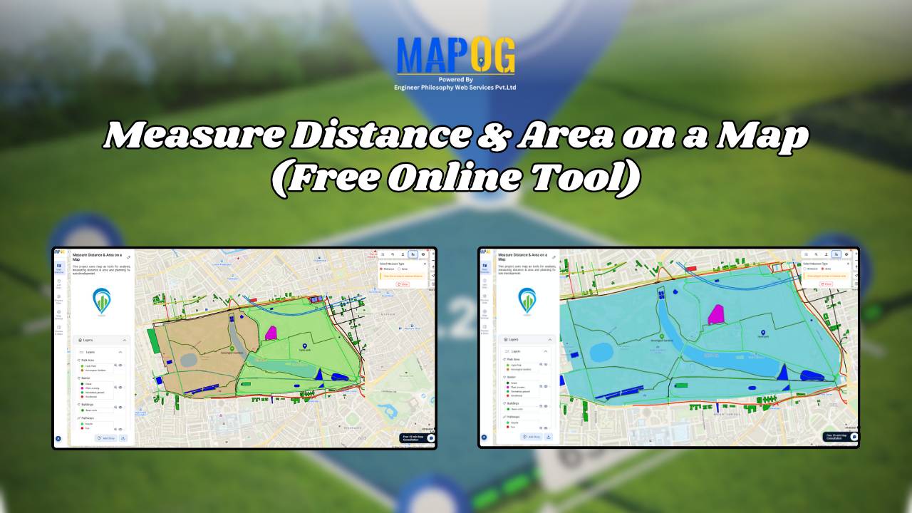
Measure Distance & Area on a Map (Free Online Tool)

Measuring distance and area is a fundamental tool with a wide range of applications like calculating land parcels, determining the lengths of roads and rivers. Leveraging MAPOG one can measure distance and area enabling to analyze and manage geospatial data for more informed and efficient decision making. Key concept and importance The key concept of … Read more

How to Map Drainage Points & Stormwater Drains for Smarter Urban Maintenance

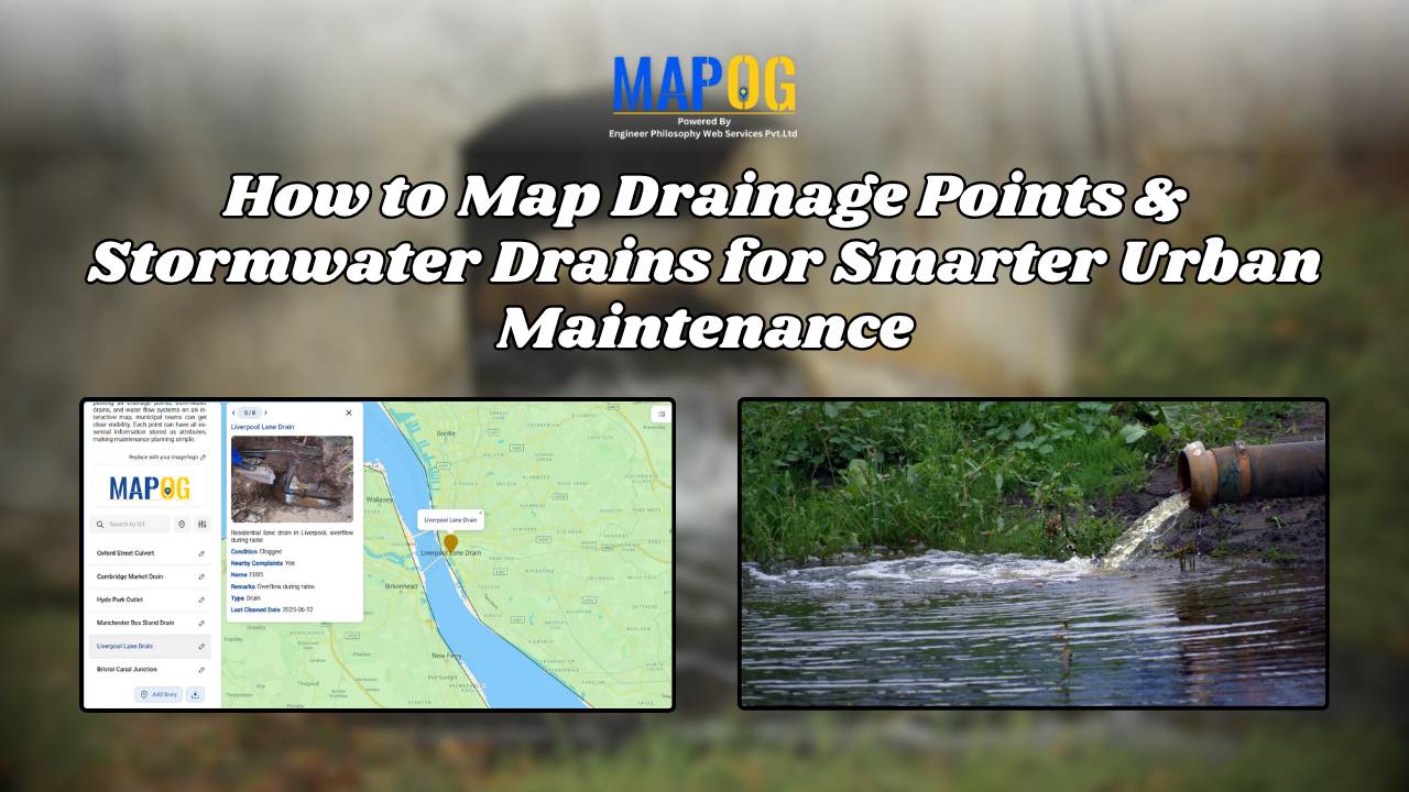
How to Map Drainage Points & Stormwater Drains for Smarter Urban Maintenance

To Map Drainage Points effectively is one of the most critical parts of urban infrastructure, since clogged or damaged drains often remain unnoticed until monsoons cause flooding. For example, during heavy rains, municipal teams in many cities spend hours locating hidden or encroached drains before cleaning begins—by then, water logging has already disrupted traffic and … Read more

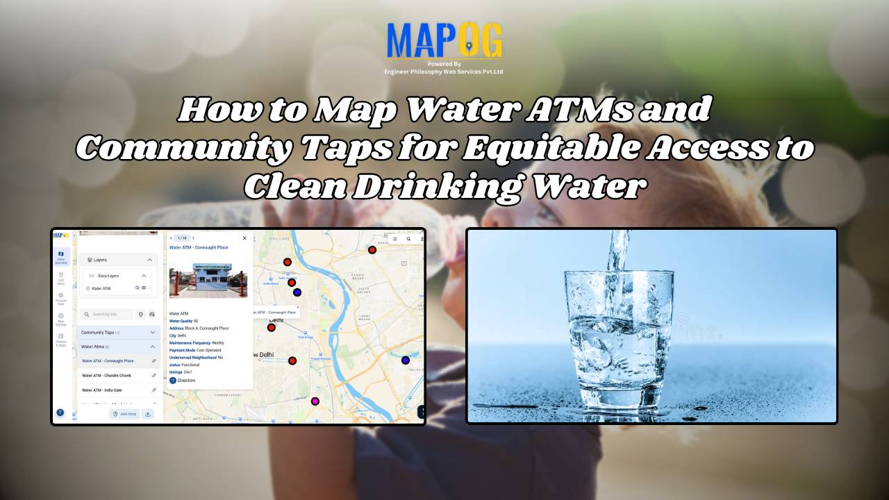
How to Map Water ATMs and Community Taps for Equitable Access to Clean Drinking Water.

Mapping Water ATMs and Community Taps for Equitable Access to Clean Drinking Water

Indeed Access to safe drinking water is firstly a basic human right, however many underserved neighborhoods for instance still face challenges in finding electric stations and  clean water sources. Thus how to map Water ATMs and community taps using MAPOG provides a comparable data-driven solution in like manner to visualize access gaps and plan interventions. … Read more

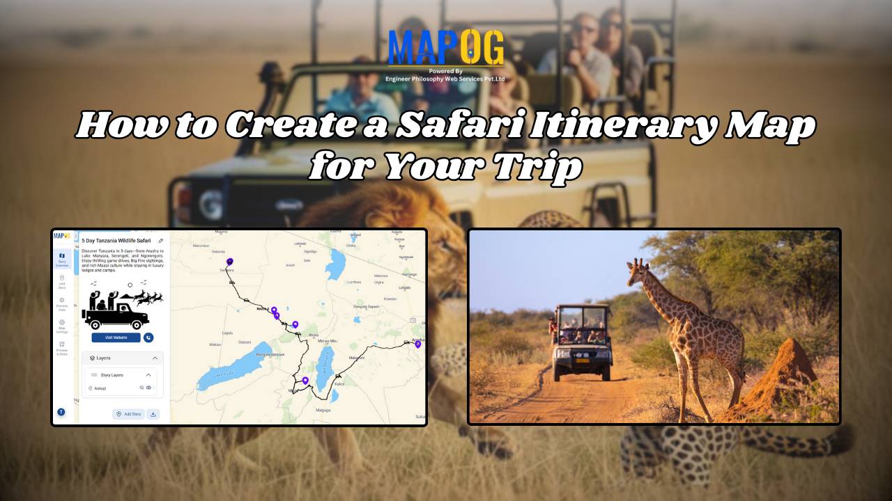
How to Create a Safari Itinerary Map for Your Trip

Create & Share a Safari Itinerary Map for Your Trip

If you’re planning a safari, visualizing your journey on a map can turn your travel plans into an interactive and shareable experience. From visiting to all safari locations and back, mapping your safari helps you track routes, highlight wildlife hotspots, and organize activities. Using MAPOG, you can create a rich safari itinerary map that’s engaging, … Read more

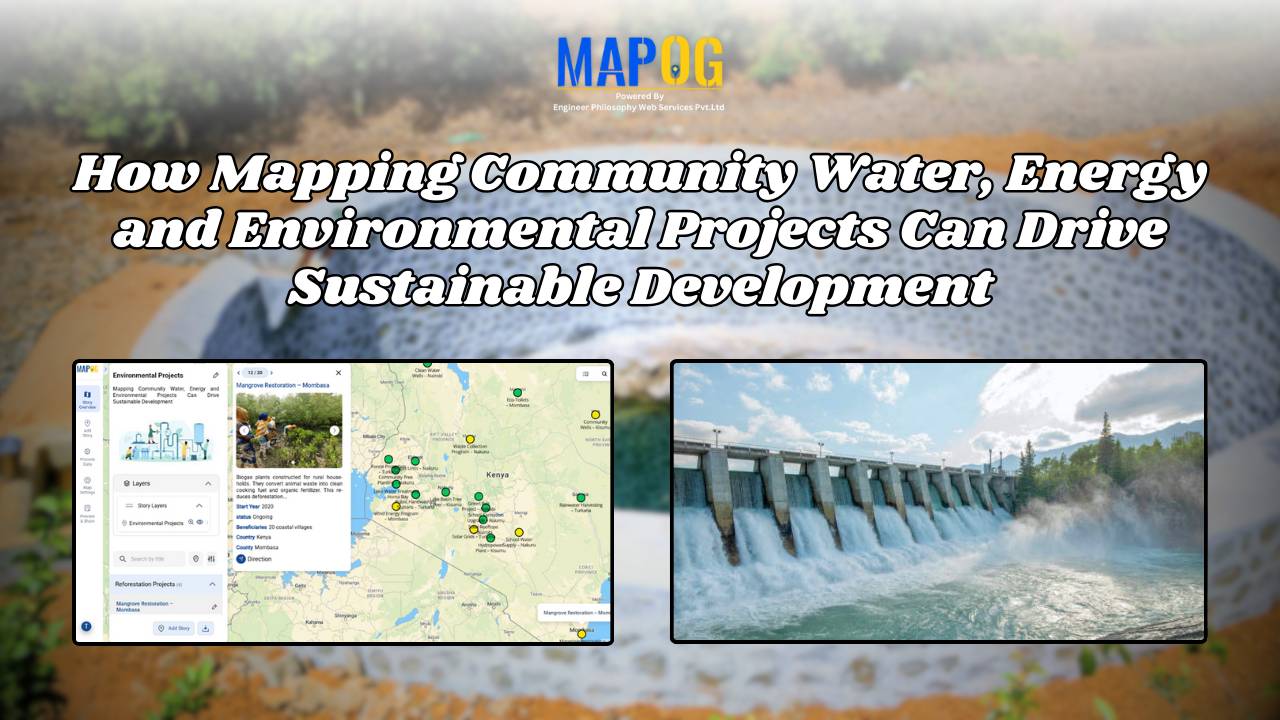
How Mapping Community Water, Energy and Environmental Projects Can Drive Sustainable Development

How Interactive Maps Drive Community Water, Energy, and Environmental Projects

Sustainable development cannot be achieved without community-driven initiatives that focus on water, energy, and environmental needs. Moreover, Mapping Community Water, energy, and environmental projects offers a practical way to visualise data, highlight impact, and ensure transparency. In fact, by creating interactive maps, decision-makers, NGOs, and local communities can track project status, monitor beneficiaries, and share … Read more