#geographyeducation

Medical Investment Hub: Explore Nearby Healthcare Real Estate

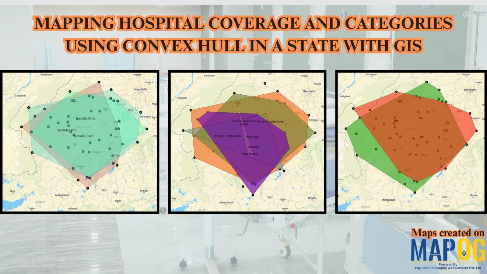
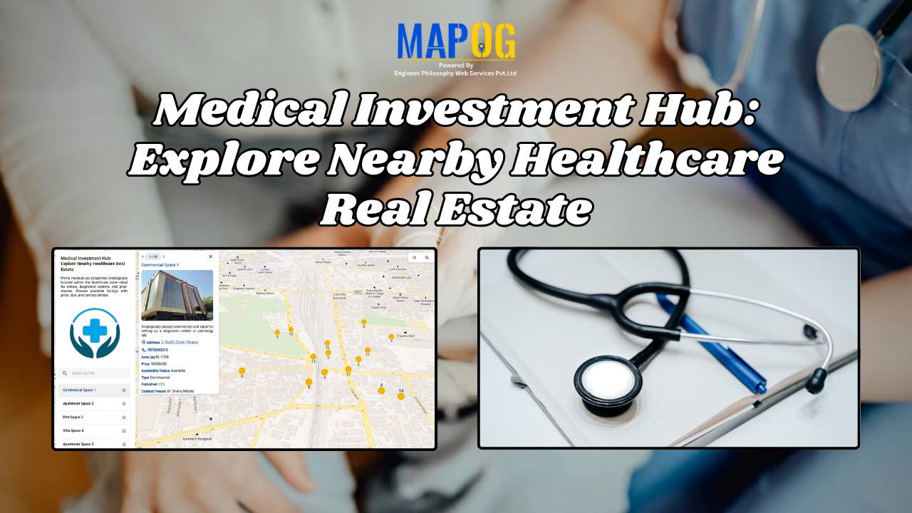
How GIS Identifies Medical Investment Hubs for Strategic Healthcare Real Estate Growth

Investing in healthcare-focused real estate requires precise Medical Investment Hubs with GIS mapping to identify prime locations near hospitals, clinics, and medical research centers. Likewise, by plotting healthcare hubs, nearby amenities, and transport access, planners and investors can ensure informed decisions, strategic growth, and community well-being using interactive maps with healthcare and property data. Key … Read more

Mapping Coastline Marathon with GIS

How to Use GIS for Coastline Marathon Route Mapping and Logistics

Mapping Coastline Marathon organizing a marathon along coastline requires accurate GIS mapping . By plotting hydration points, medical tents, and key milestones, planner, smooth logistics, and a great runner experience without complex crowd-flow simulations, using interactive maps with coastline and checkpoint data. Key Concept: Mapping Coastline Marathon Identifies: Uses of Mapping Coastline Marathon Methodology: Mapping … Read more

Mapping Hospital Coverage and Categories Using Convex Hull

Mapping Rural Hospital Coverage Using GIS and Convex Hull

Mapping Hospital Coverage and Categories, locations in rural areas ensures that communities have access to essential healthcare during emergencies. Visualising hospital distribution and overall coverage helps identify underserved regions and gaps in healthcare infrastructure. With MAPOG, users can build interactive GIS maps showing hospital points, health facility types, and Convex Hull polygons that represent the … Read more

Create map online | Mapping Education Institute Places | Category Style based on type

Create map online | Mapping Education Institute Places | Category Style based on type

Category style, a fundamental feature within Geographic Information Systems (GIS), serves as a powerful tool for visually organizing data categories. By assigning distinct visual attributes such as colors, shapes, or icons to different data categories, category style enhances the clarity and interpretability of spatial data representations. In this article, we delve into the application of … Read more