#UrbanPlanning

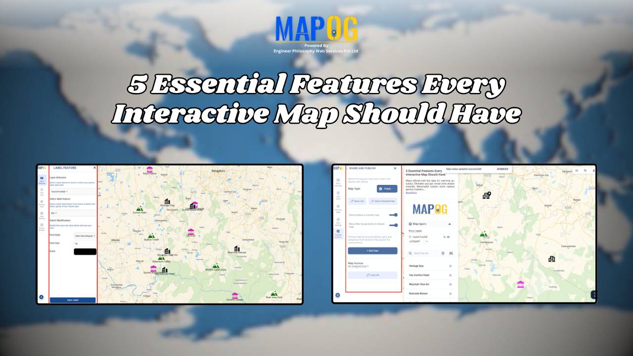
5 Essential Features Every Interactive Map Should Have

5 Essential Features Every Interactive Map Needs for Smarter Tourism Planning

Interactive maps for tourism planning transforms raw data into dynamic visuals, helping manage tourism efficiently. Additionally, the 5 essential features every interactive map should have are Real-World Updates, Custom Icons & Labels, Heatmaps, Pop-Ups and Collaboration. Key Concept: interactive maps for tourism planning Interactive maps highlight attractions, heritage sites, hotels, and amenities while integrating layers like … Read more
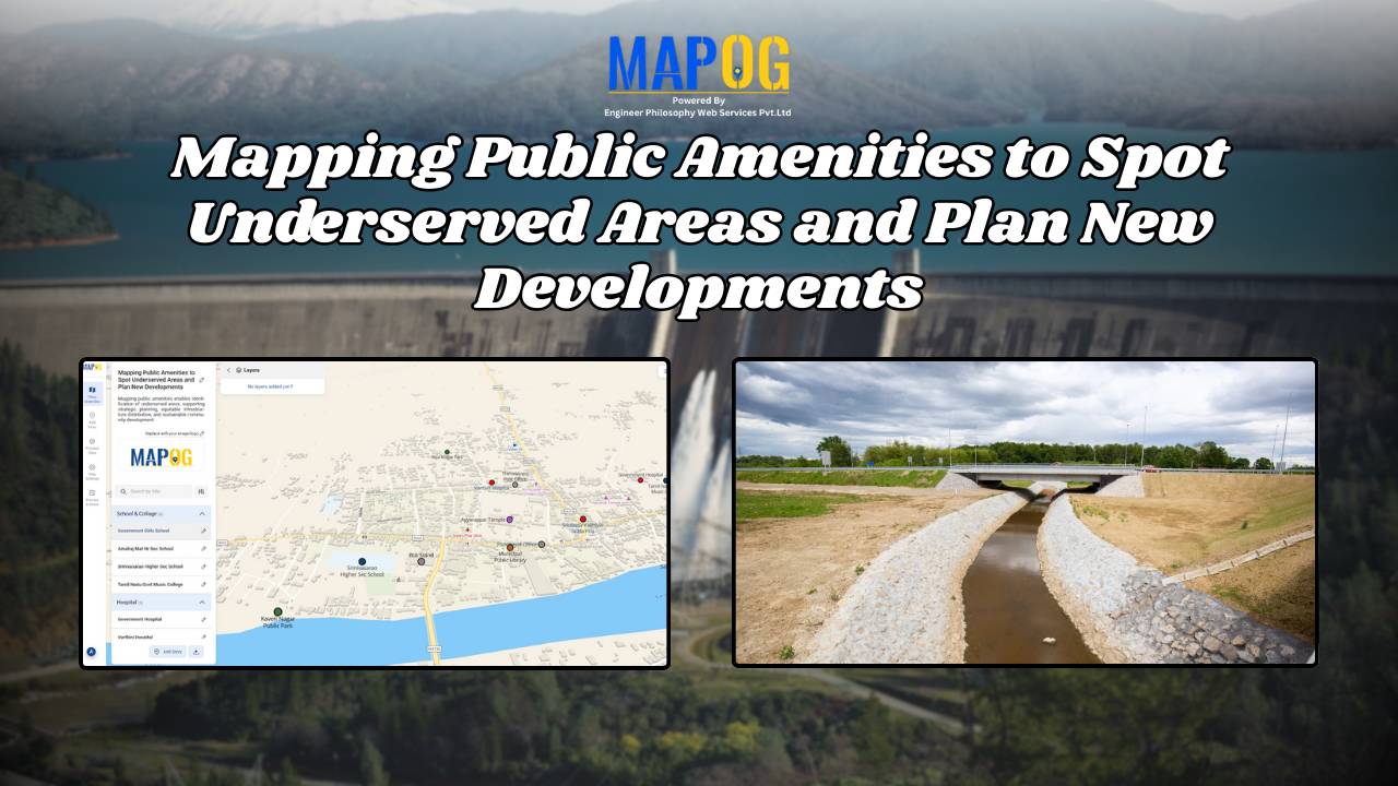
Mapping Public Amenities to Spot Underserved Areas and Plan New Developments

Public Amenities Mapping with GIS: How Cities Can Improve Schools, Hospitals, Parks & Community Services

Mapping Public Amenities to transform your city into a granted transparent, inclusive, and well-planned urban space with GIS-powered public amenity mapping. This modern approach enables governments, planners, and communities to visualize essential services such as schools, hospitals, parks, libraries, and more on a single interactive map. By identifying underserved areas as much as cities can … Read more

How GIS Identifies Medical Investment Hubs for Strategic Healthcare Real Estate Growth

Investing in healthcare-focused real estate requires precise Medical Investment Hubs with GIS mapping to identify prime locations near hospitals, clinics, and medical research centers. Likewise, by plotting healthcare hubs, nearby amenities, and transport access, planners and investors can ensure informed decisions, strategic growth, and community well-being using interactive maps with healthcare and property data. Key … Read more

Free GIS Mapping Tools for Students and Researchers

Free GIS Mapping Tools for Students and Researchers

In today’s logistics-driven world, Geographic Information Systems (GIS) play a pivotal role in analyzing spatial data for informed decision-making. Fortunately, MAPOG offers Free GIS Mapping Tools that empower students, researchers, and planners to explore and visualize real-world location-based patterns. With tools such as Buffer Zones, Clip and Isochrones, users can easily identify optimal sites for … Read more