#Smartmapping

Analyze Village Healthcare

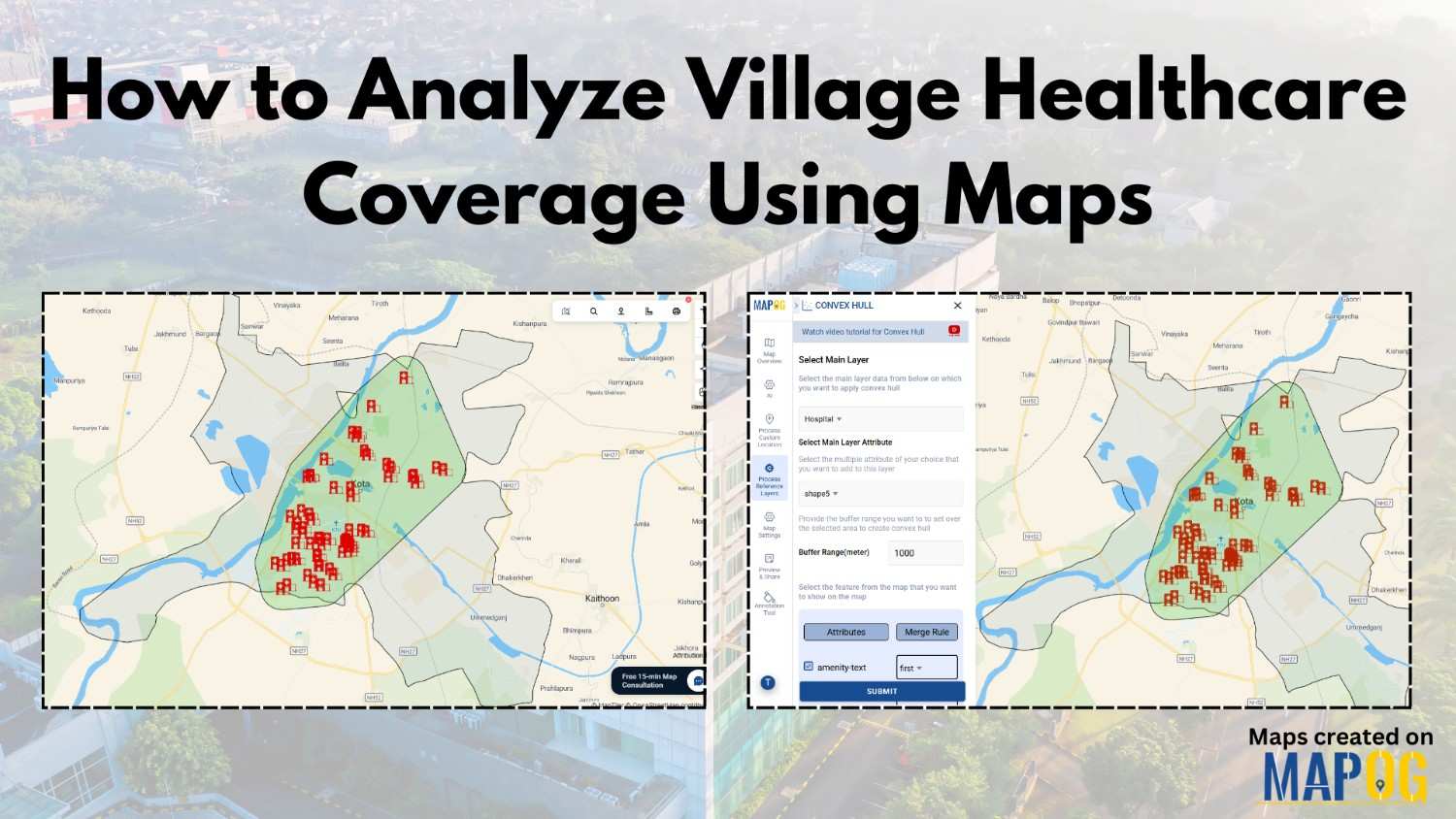
How to Analyze Village Healthcare Coverage Using Maps

To analyze village healthcare coverage, planners increasingly use maps because they turn scattered health data into clear, visual insights. In rural planning, decision-makers often delay actions due to poor visibility. However, when analysts map villages and healthcare facilities together, they identify coverage gaps faster. As a result, MAPOG make village healthcare coverage analysis not only … Read more
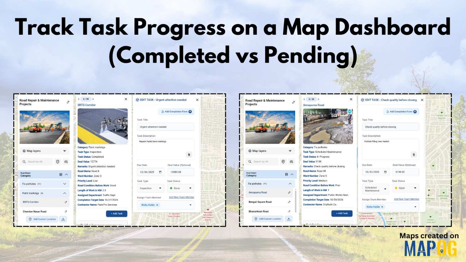
Track Task Progress

Track Task Progress on a Map Dashboard (Completed vs Pending)

Track Task Progress visually instead of relying on scattered spreadsheets or delayed updates. Today, many infrastructure and field teams prefer map dashboards because teams can see completed vs pending tasks instantly. Moreover, when teams link task data to real locations, planning becomes faster and accountability improves. In this article, you’ll discover how to Track Task … Read more

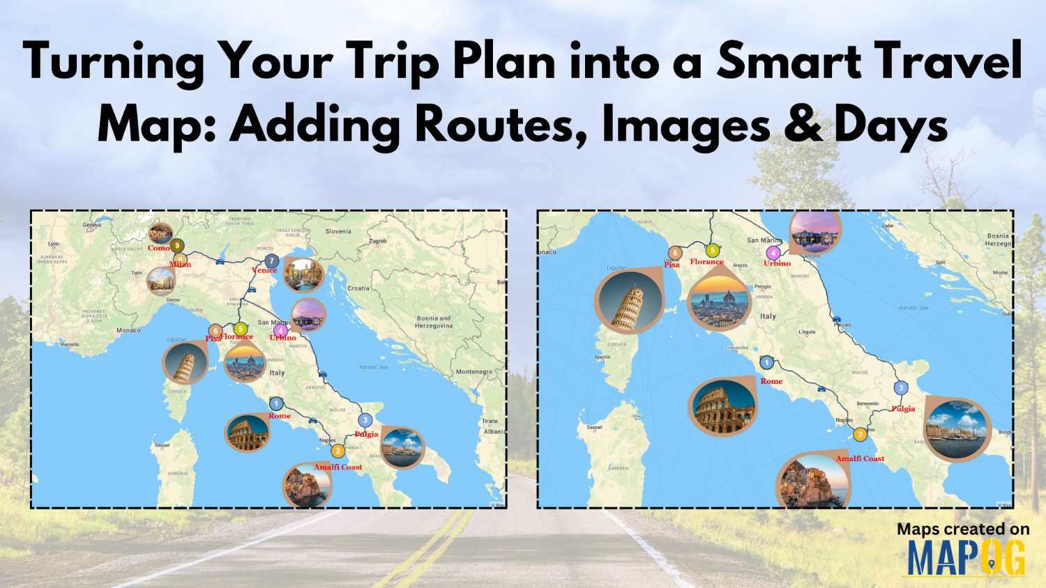
Turning Your Trip Plan

Turning Your Trip Plan into a Smart Travel Map: Adding Routes, Images & Days

Turning your trip plan into something visual, organized, and interactive is no longer complicated. Instead of juggling notes, screenshots, and lists, a smart travel map helps your journey unfold day by day on a single canvas. With MAPOG and its powerful Annotation features, trip planning is not only simplified but also made visually engaging. As … Read more

Visualize Field Office

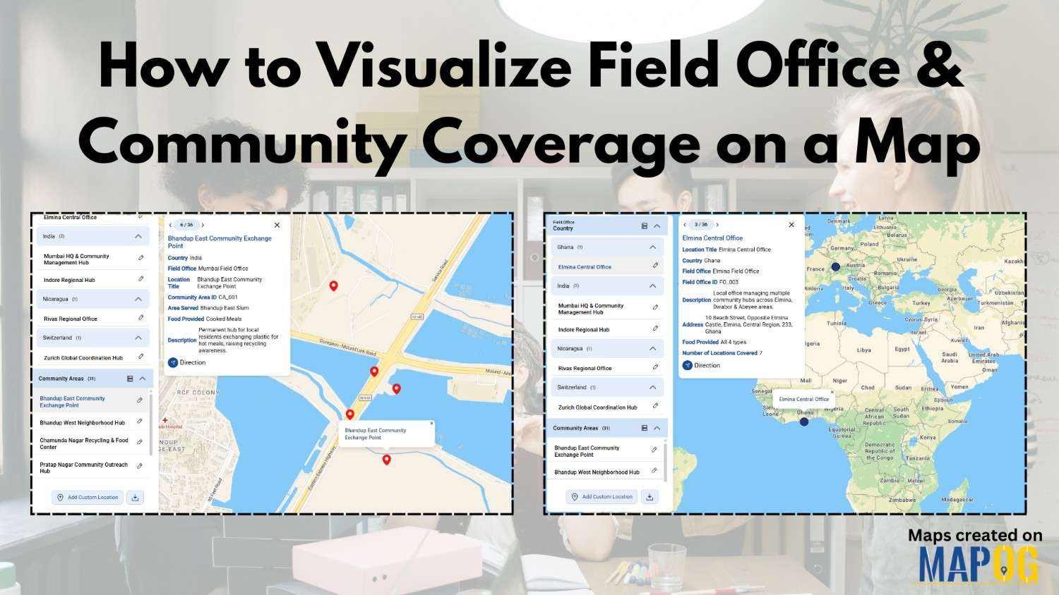
How to Visualize Field Office & Community Coverage on a Map

To visualize field office coverage, organizations increasingly rely on maps because they present operational data clearly and quickly. Instead of managing scattered spreadsheets, you can see how field offices and communities connect spatially. Moreover, when coverage areas are visualized together, planning gaps become obvious. Using MAPOG, which support Excel uploads, GIS Data, and custom location … Read more

How to Collect Customer Feedback On-Ground and view real-time responses on a live map using a mobile data collection platform.

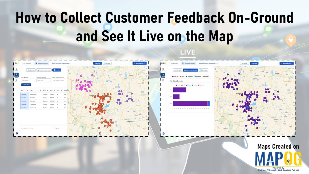
How to Collect Customer Feedback On-Ground and See It Live on the Map

Today’s teams need real, unfiltered insights straight from the field. When you Collect Customer Feedback On-Ground, you get honest input right where customer experiences actually happen. MAPOG’s mobile data collection capability helps make this easier by letting teams gather feedback on-site and see it instantly on a map, giving everyone a clear and immediate view … Read more

Customer Photos or Documents

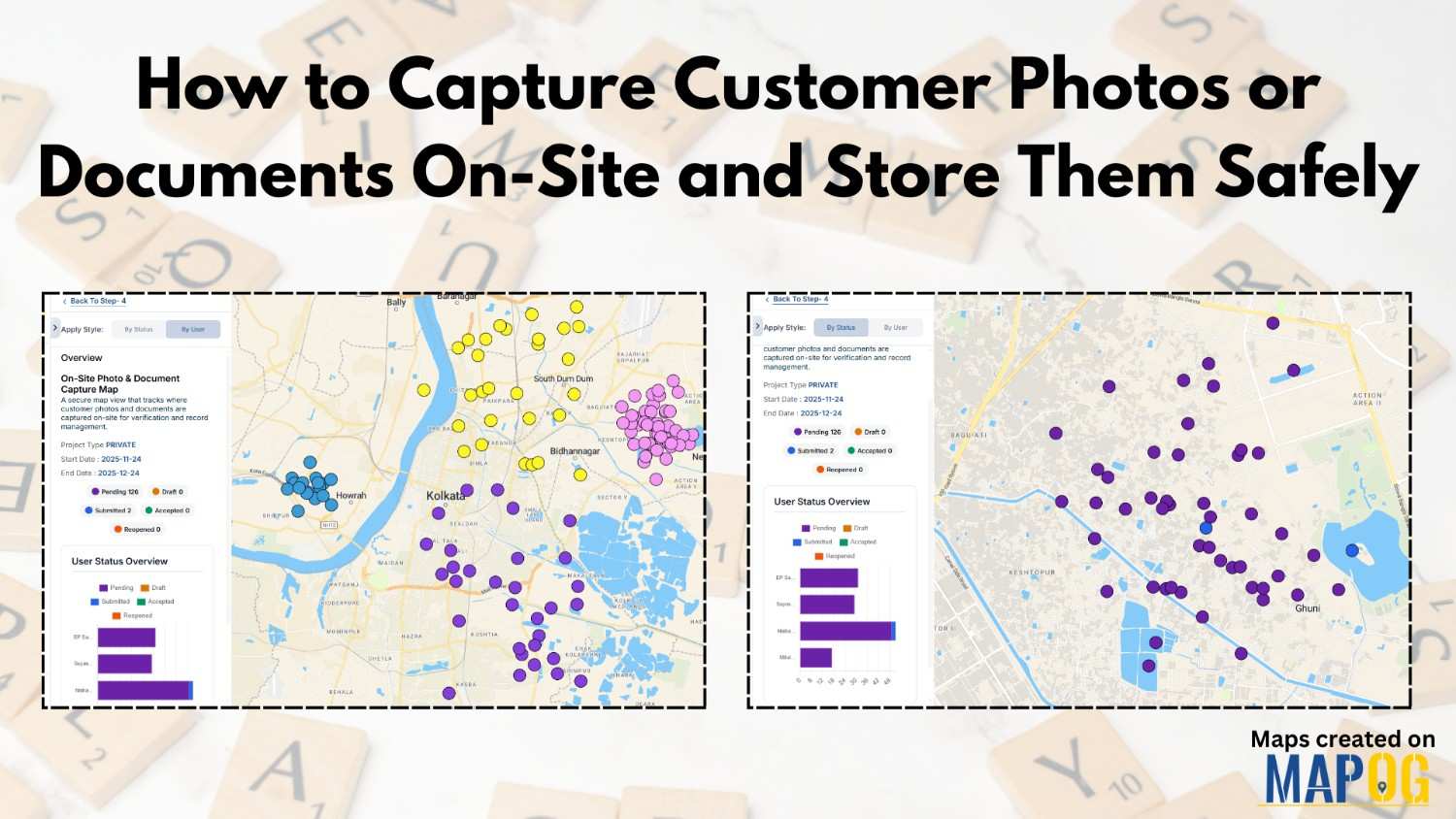
How to Capture Customer Photos or Documents On-Site and Store Them Safely

In many field-based workflows, teams treat on-site customer photos and documents collection as a crucial task. But capturing and organizing everything securely often turns messy. MAPOG, especially its Mobile Data Collection workflow, solves this by giving teams a smooth, structured, trackable, and safe way to handle customer documents on-site. Key Concept: Why Customer Documents Onsite … Read more

Maintain Your Customers

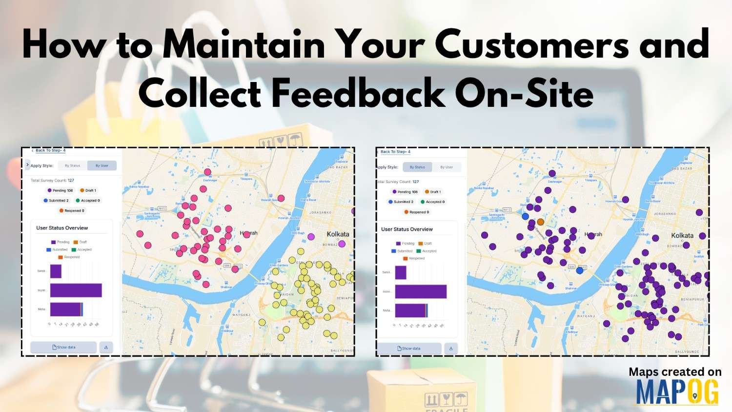
How to Maintain Your Customers and Collect Feedback On-Site

Businesses today prioritize maintaining customers and collecting on-site feedback. Manual methods slow teams down, so digital mapping workflows help them work faster. MAPOG, especially its Mobile Data Collection feature, gives teams a location-based system to maintain Your Customers and gather insights during visits. Key Concept: Why Maintaining Your Customers On-Site Matters When field executives visit … Read more

Mapping and Planning Products Sales

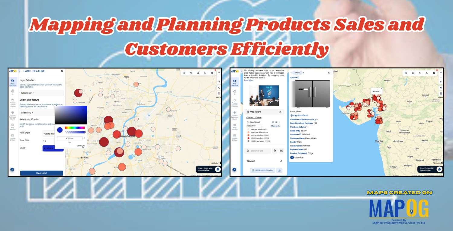
Mapping and Planning Products Sales and Customers Efficiently

In today’s data-driven business world Mapping and Planning product sales is a necessary step, location is more than just an address; it’s an opportunity. Visualizing your customers on an interactive map helps your team uncover patterns, understand buying behaviors, and plan sales strategies that are not only smarter but also more efficient. With MAPOG, mapping … Read more

Filter Map Points

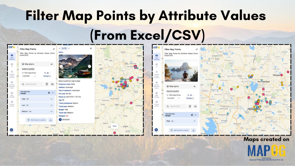
Filter Map Points by Attribute Values (From Excel/CSV)

When working with large datasets on a map, it can be difficult to focus on only the information you need. By filtering map points using attribute values stored in an Excel or CSV file, you can quickly highlight specific categories, ranges, or conditions—such as cities above a certain population, demographics, or locations with active status. … Read more

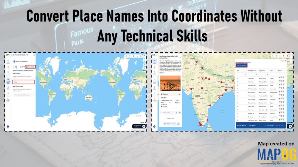
Interface showing how to convert place names into coordinates without technical skills using CSV upload and geocoding tools.

Convert Place Names Into Coordinates Without Any Technical Skills

Collecting place names is straightforward, but converting them into coordinates becomes a roadblock for anyone who isn’t trained in GIS. Most people don’t know how to clean inconsistent place‑name lists, set up geocoding tools, deal with API keys, or interpret multiple location matches. As a result, without those technical steps, a simple list of villages, … Read more