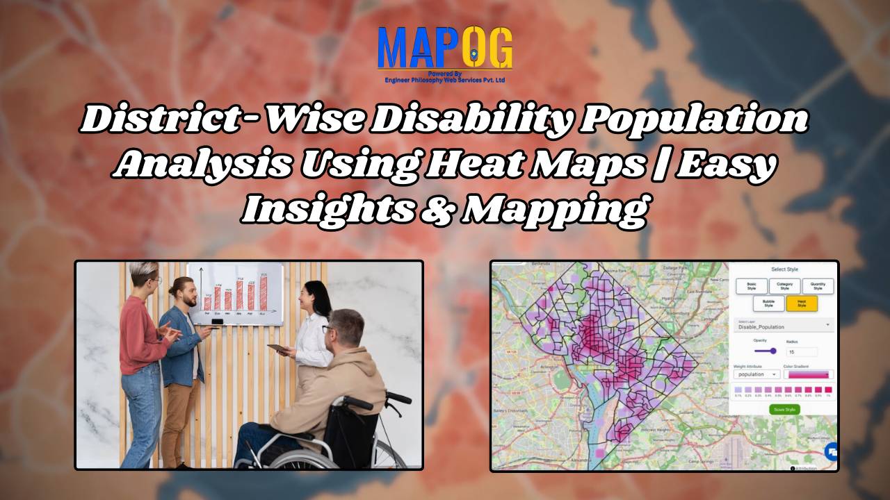
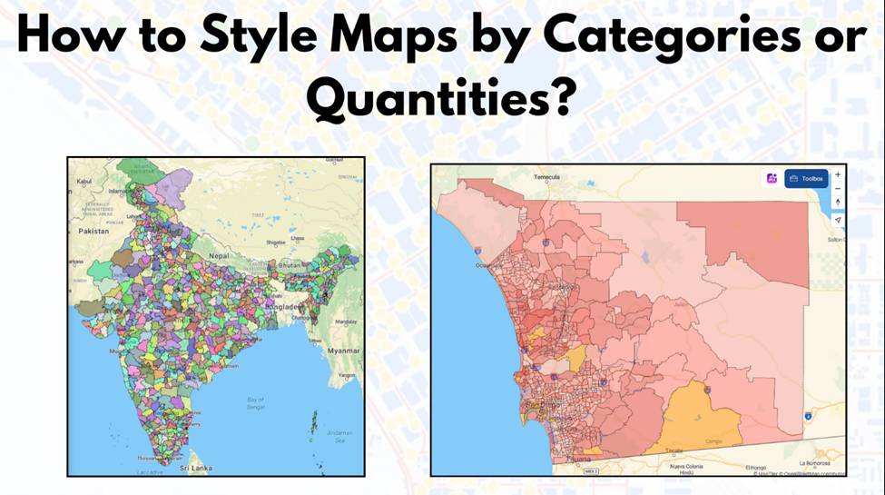
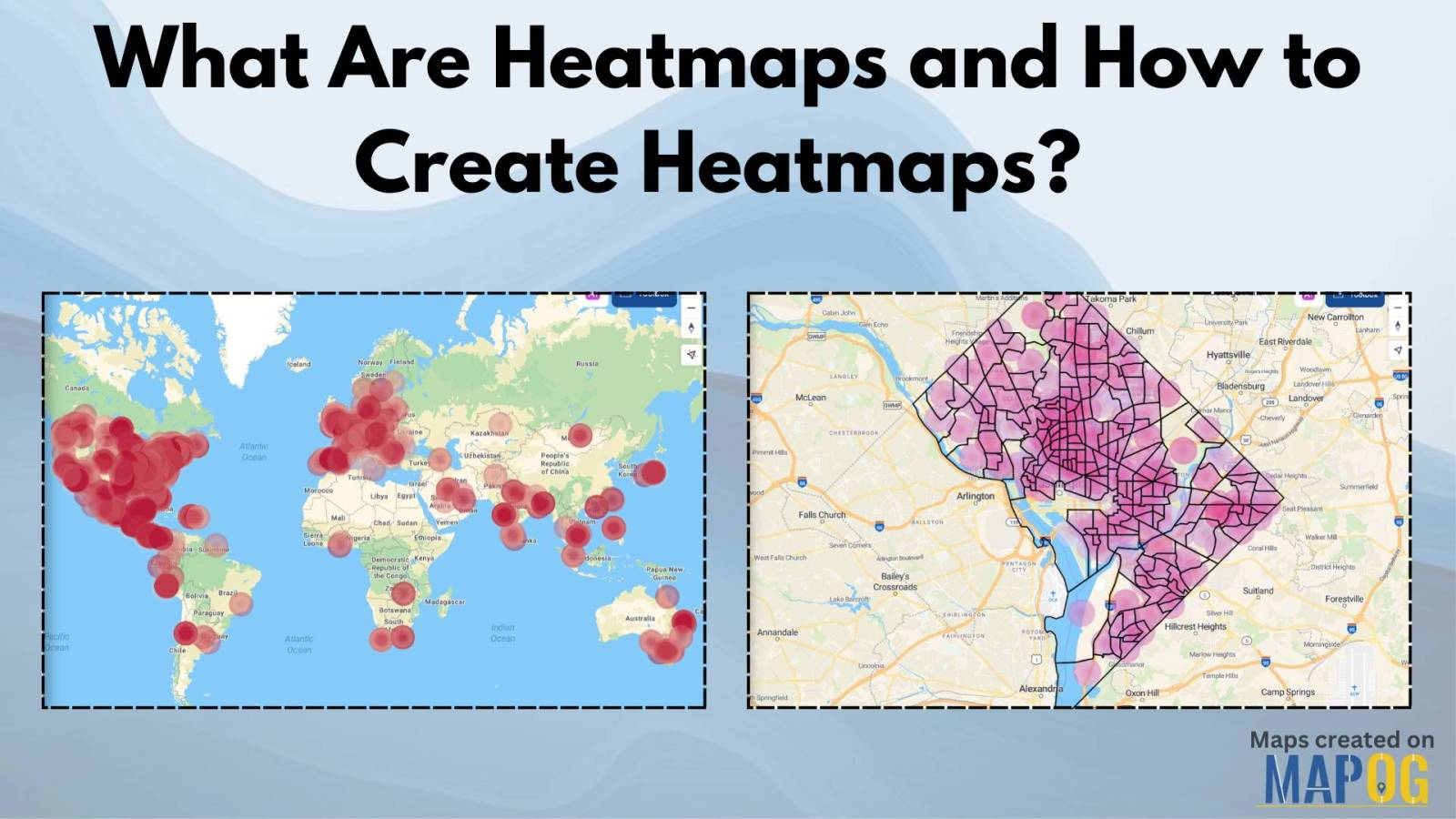
Optimizing Urban Transportation: GIS-Based Railway Accessibility and Mobility Planning
Insights on urban transportation accessibility: areas lacking train access, station locations, improved connectivity for smoother mobility.
In the realm of road network categorization and labeling, accurate mapping is essential for both efficient travel planning and enhanced safety. By leveraging advanced techniques in cartography and GIS, we can create clear, usable road maps that optimize emergency responses, transportation planning, and urban development. This article delves into the methodologies of categorizing and labeling … Read more
In an era where energy plays a pivotal role in shaping the economic and social landscapes, equitable distribution of power is paramount. “Creating Energy Maps: Unpowered Settlements”, This article delves into the realm of MAPOG Map Analysis to identify potential energy deserts—areas where settlements lack the crucial infrastructure of energy power lines or towers. By … Read more
Coastal erosion poses a significant threat to coastal regions, jeopardizing not only the natural beauty of beaches but also the structural integrity of sea walls essential for coastal protection. In response to this challenge, MAPOG undertakes a comprehensive mapping initiative for coastal erosion assessment and mitigation. This article explores how MAPOG delineates erosion-prone areas along … Read more
Find out how MAPOG is improving mail experiences in Cambodia with its innovative post office site selection strategy.
Efficiently connecting farms & supermarkets through GIS analysis optimizes agricultural practices, fostering productivity & sustainability.
Explore how MAPOG streamlines infrastructure planning by identifying impact zones for future road projects with transparency and precision.
Creating Connectivity: A Spatial Analysis of Urban Accessibility links bus stops and healthcare, revealing areas and strategic real estate opportunities within 20 minutes.
Welcome to MAPOG, where we address flood risks with innovative solutions along the Rivers. This example demonstrates how MAPOG‘s tools can map and analyze flood risks, providing valuable insights for strategic planning. Join us as we navigate through this use case, showcasing MAPOG‘s capabilities in mapping and addressing flood risks. Key Concept Within this key … Read more
MAPOG‘S Navigating Mining Area Safety with Route Compass utilizes virtual reality technology to ensure site safety in traditional mining operations areas. This innovative technology creates an artificial environment, safeguarding people and equipment, and facilitating regulation observance. Immerse yourself in the dynamic landscapes of urban planning through “GIS Analysis in Urban Planning: Reshaping Transportation Future Insights … Read more