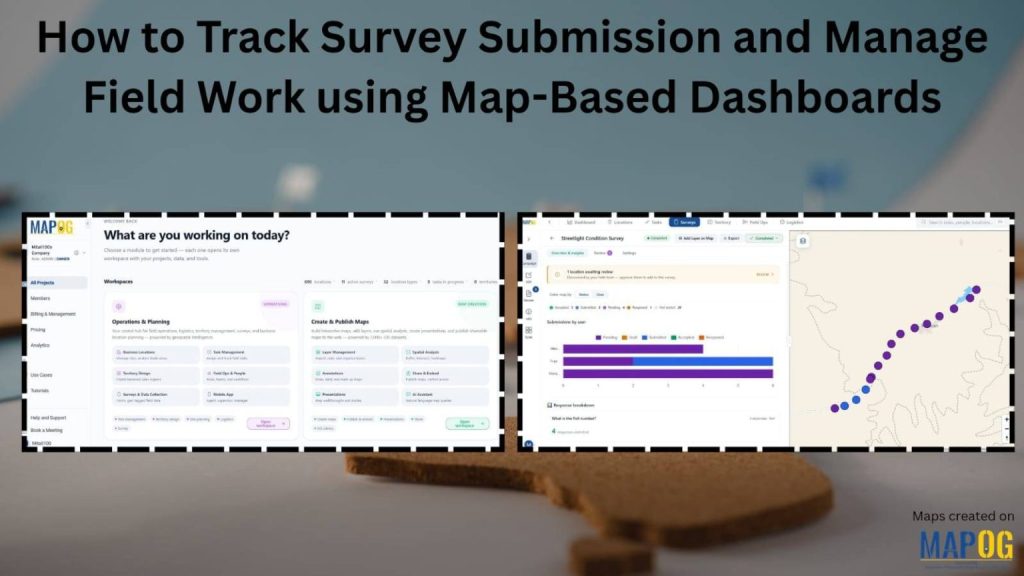
How to Track Survey Submissions and Manage Field Work Using Map-Based Dashboards
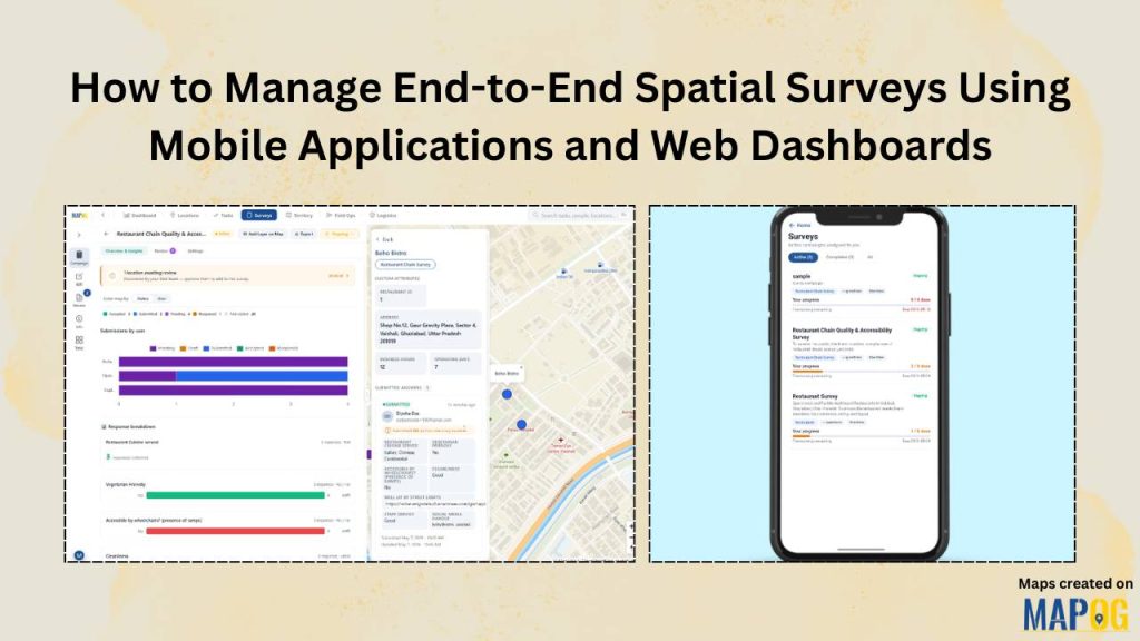
How to Manage End-to-End Spatial Surveys using Mobile Applications and Web Dashboards
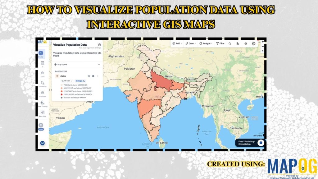
How to Visualize Population Data Using Interactive GIS Maps
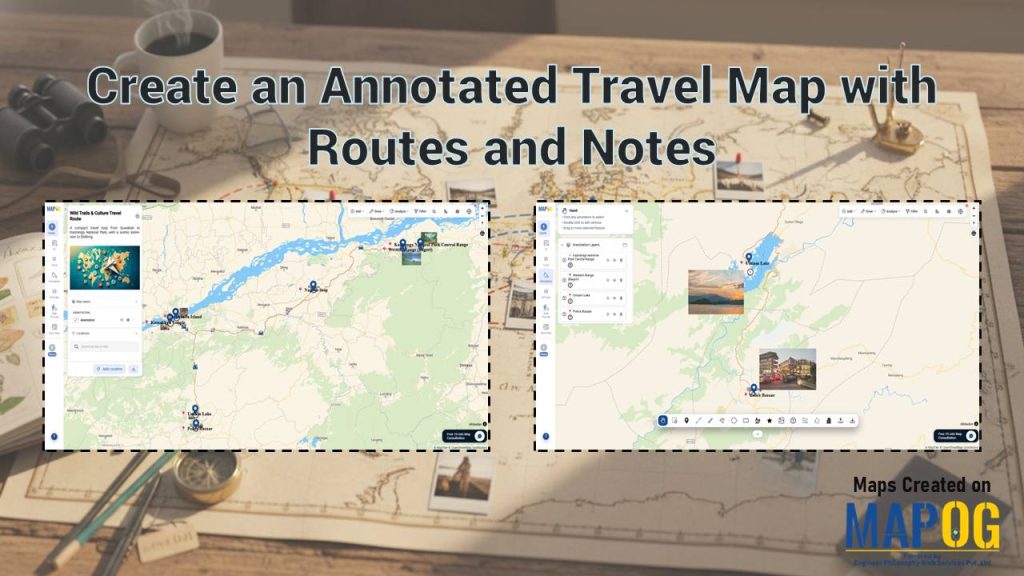
Create an Annotated Travel Map with Routes and Notes
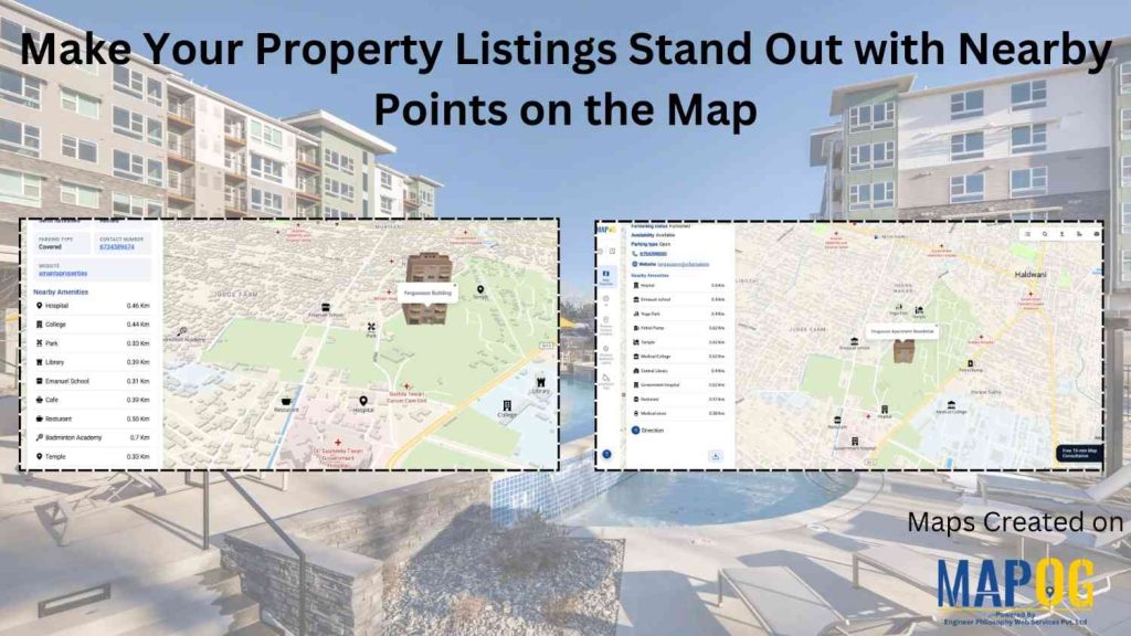
Make Your Property Listings Stand Out with Nearby Points on the Map
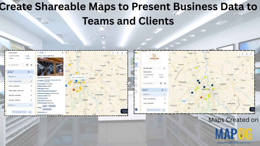
Create Shareable Maps to Present Business Data to Teams and Clients
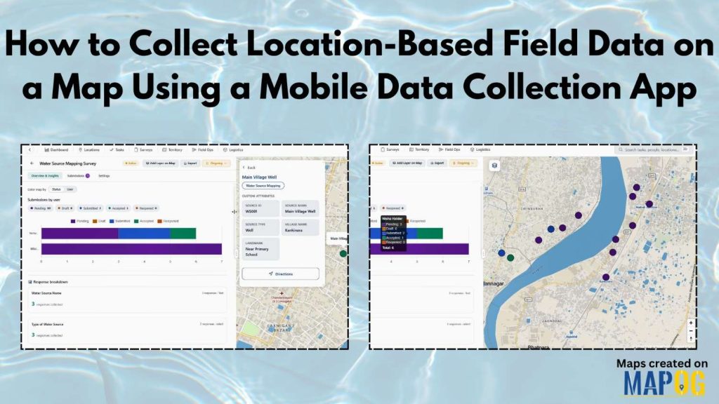
How to Collect Location-Based Field Data on a Map Using a Mobile Data Collection App