Unlock the power of seamless spatial data management with MAPOG Map Analysis. In this article, discover how the Merge Polygon tool revolutionizes the process of combining polygons into a single layer. Streamline your map analysis workflow and unleash the full potential of your spatial data with MAPOG
KEY CONCEPTS
Our goal is to merge the Polygons using the merge polygon tool from MAPOG Map Analysis.
Learn more on this here How to Merge Polygons in Maps.
Steps for Creating a Map with Joined Attributes
Below are the steps to follow to create the map
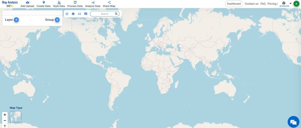
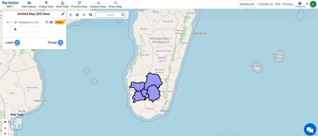
- Open Map Analysis
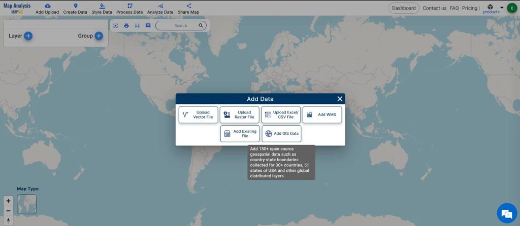
- From Add Upload, Add GIS Data
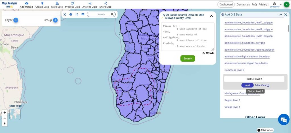
- Browse for the Data and Add it
- Crop it if necessary.
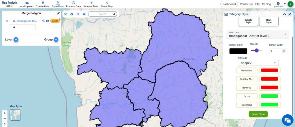
- Use Style Data to customize the colors of the Polygons
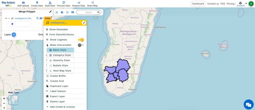
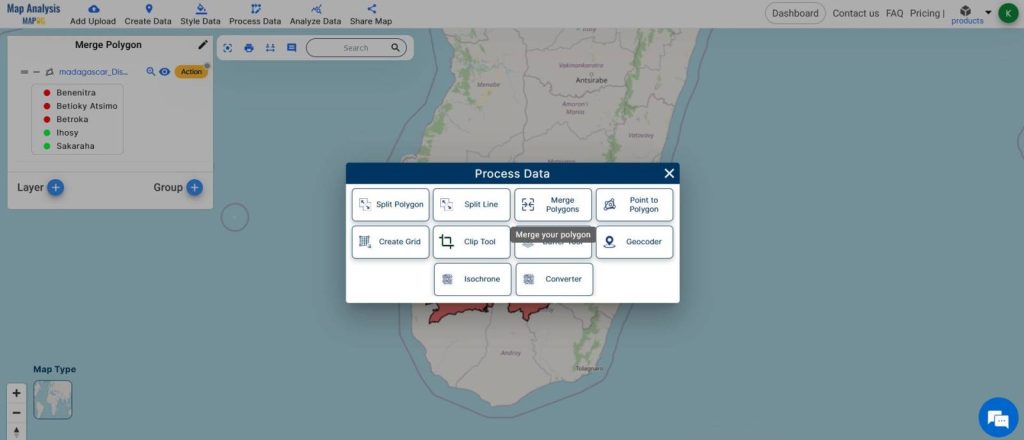
- From Process Data, select Merge Polygon
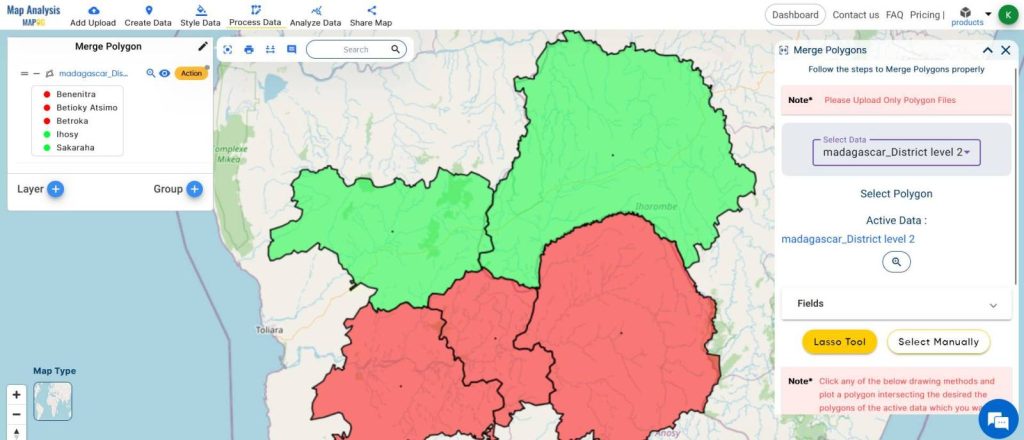
- Select the layer
- Select the fields that need to be merged ( if required )
- Use the Lasso tool or Manually select the Polygons
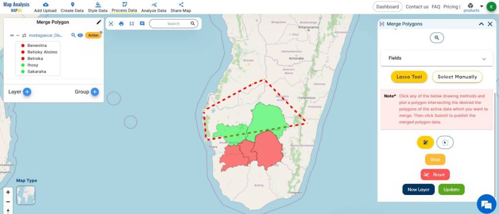
Lasso tool allows you to draw around or over the polygon to select the polygons and Manual selection allows you to click on the polygons and select them manually.
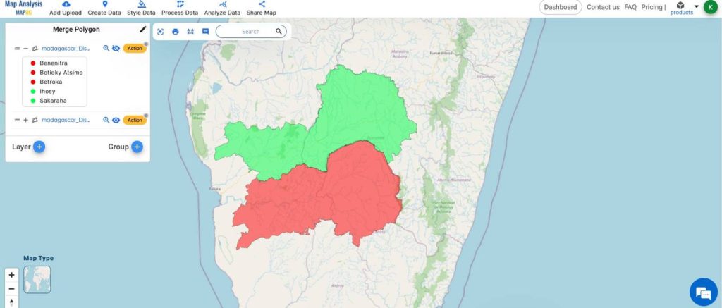
Once done, click on UPDATE for the merge in the same layer and click on NEW LAYER to display the merge in a new layer.
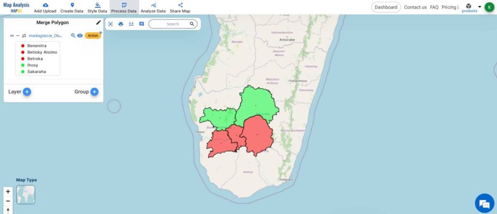
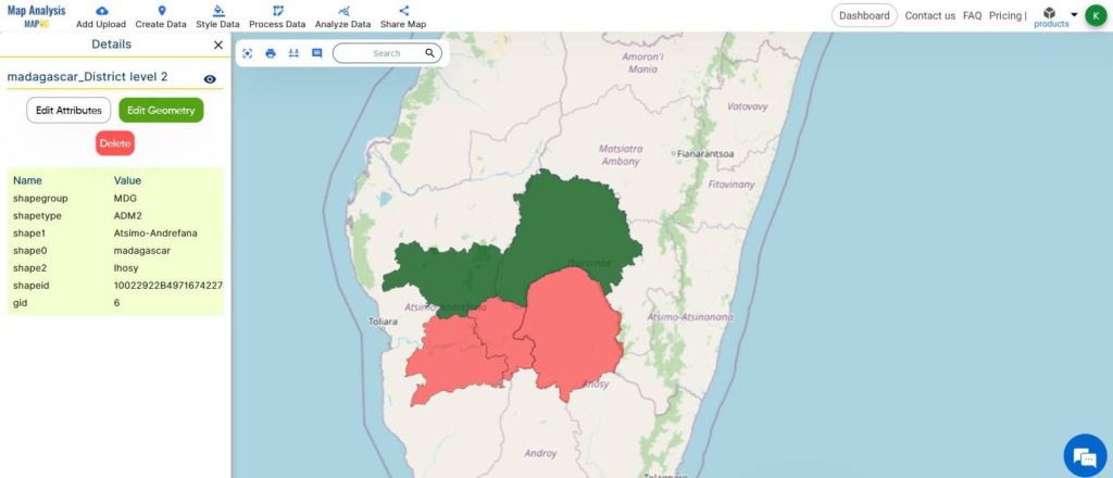
This is the Final Map

This demonstration of merging administrative boundaries using the merge polygon tool gives the idea of applying the principles of merge polygon to carry out further analyses in the future.
MAJOR FINDINGS
- Efficiency: The Merge Polygon tool drastically reduces the time and effort required to combine multiple polygons into a single layer, streamlining spatial data management processes.
- Accuracy: By maintaining data integrity and ensuring seamless merging of adjacent polygons, MAPOG’s analysis reveals an increase in the accuracy of spatial datasets, enhancing the reliability of subsequent analyses and decision-making.
- Versatility: Users can tailor merge parameters to their specific needs, enabling flexible merging strategies based on spatial relationships, attribute similarity, or other criteria, thus enhancing the tool’s versatility across various spatial analysis scenarios.
BENEFICIAL DOMAIN: Urban Planning and Environmental Management
- Urban Planning: The Merge Polygon tool in MAPOG is invaluable for urban planners, allowing them to efficiently merge administrative boundaries or land parcels to create unified spatial units for zoning, infrastructure planning, and urban development projects.
- Environmental Management: Environmental scientists and conservationists benefit from the tool’s ability to merge habitat polygons.
That facilitating the creation of larger, contiguous habitat areas for wildlife conservation, biodiversity assessment, and ecosystem management initiatives.
For any inquiries or support needs, feel free to contact us at support@mapog.com.
CONCLUSION
So the Merge Polygon tool within MAPOG Map Analysis offers a streamlined solution for combining spatial data, enhancing efficiency and accuracy across various domains.
Its versatility empowers users across urban planning and environmental management, facilitating informed decision-making and effective spatial analysis.
GIS DATA USED
VIEW OUR PREVIOUS BLOGS
Grid Mapping for Accurate Spatial Analysis: Divide and Conquer with GRID Map Tool
Create a Map: Spatial Join Analysis of ATM Points within District Boundaries