Navigating the complexities of industrial land use requires a nuanced approach. MAPOG Map Analysis, with its GRID tool, revolutionizes this process, offering a streamlined solution for optimized zoning and development.
In this article, we explore how MAPOG empowers decision-makers to balance economic growth with environmental sustainability in industrial areas, setting the stage for smarter urban planning.

KEY CONCEPTS
We use the grid tools to create even grids over the boundary and analyze the grid-overlayed areas to ensure sustainable development outcomes and harmonious coexistence with surrounding land uses.
Grid tool offers some great applications in GIS Analysis like Biodiversity Conservation: Step-by-Step Guide to Clip Polygon for Effective Maps and Create Map for Landfill Optimization: Spatial Analysis Approach
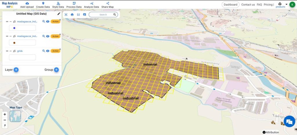
Steps for Creating a Map of Industrial Land Area Management
Below are the steps to follow to create the map
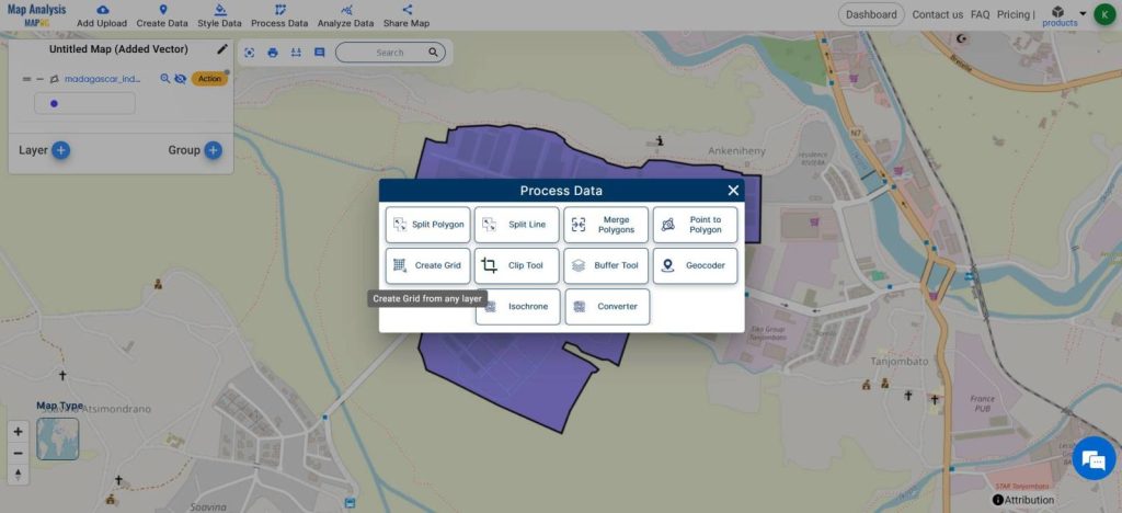
- Open Map Analysis
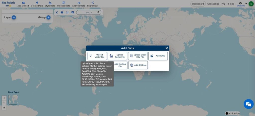
- From Add Upload, Add Vector Data
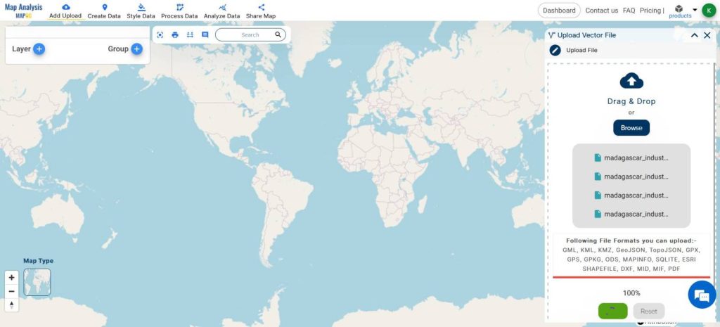
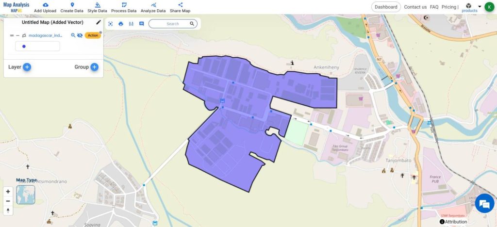
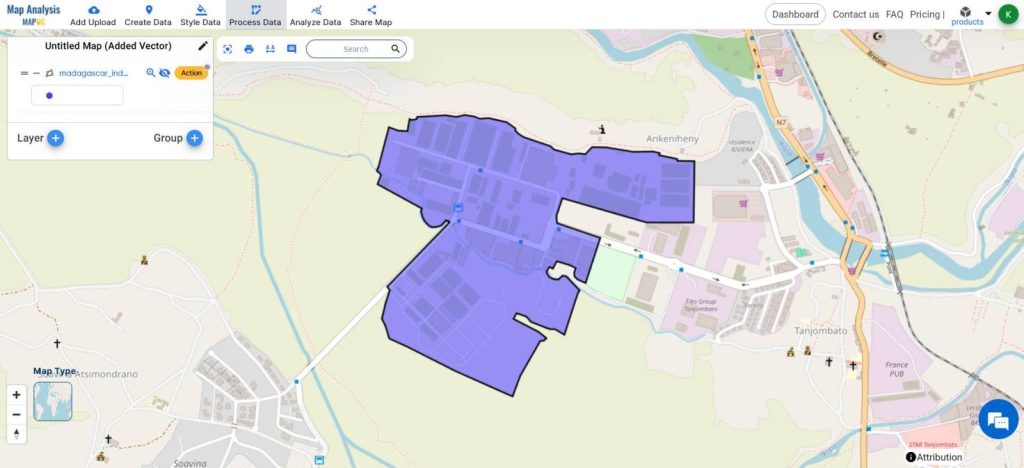
- Upload files of Industrial Land Area
- From Process Data, choose Create Grid
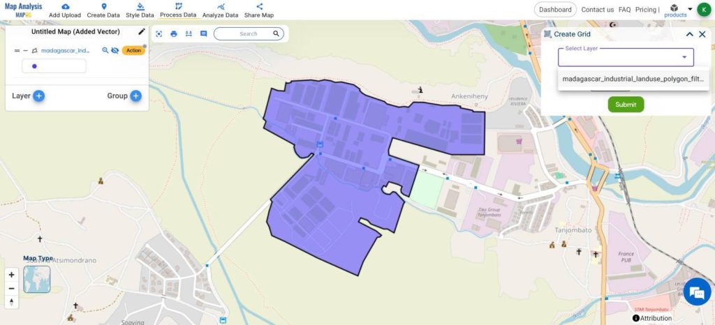
- Select the industrial area as the layer
- Give the range as 50 meters
- Click Submit
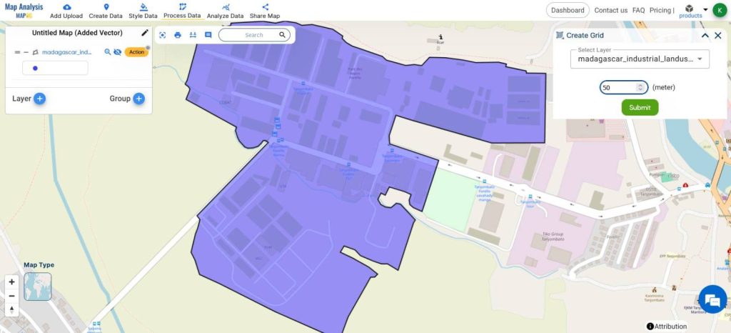
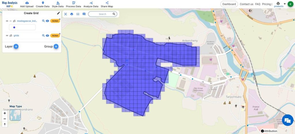
- Grid will be created
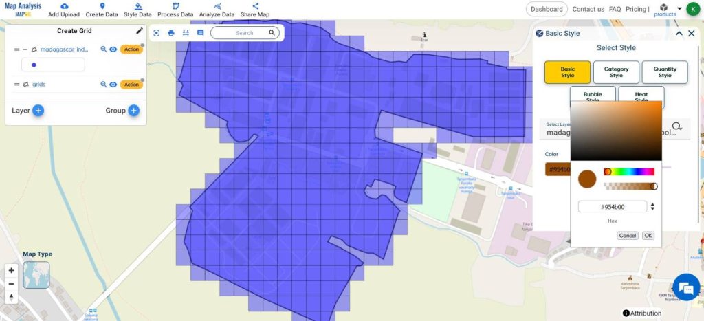
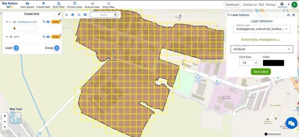
- Using Label Features and Basic Styles, adjust the styling
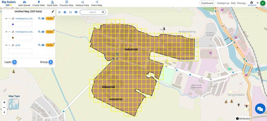
This is the Final Map
The created grids serve as an overlay reference to cut the area into imaginary pieces for accurate and proper analysis.
This analysis helps in Regularly monitoring industrial activities within the area to ensure compliance with zoning regulations and environmental standards through site inspections, satellite imagery analysis, and stakeholder engagement.
MAJOR FINDINGS
- MAPOG Map Analysis reveals that strategic placement of industrial zones, guided by the GRID tool, leads to optimized land use, reducing inefficiencies and maximizing economic output.
- The analysis highlights that areas identified through MAPOG Map Analysis as suitable for industrial development show higher levels of environmental sustainability, indicating the effectiveness of the tool in balancing economic growth with ecological preservation.
- MAPOG Map Analysis further demonstrates that proactive management of industrial land, informed by the GRID tool, fosters harmonious coexistence between industrial activities and neighboring communities, minimizing conflicts and enhancing overall urban livability.
BENEFICIAL DOMAIN: Urban Development and Environmental Conservation
- Urban Planning and Development: MAPOG Map Analysis, particularly with the utilization of the GRID tool, provides invaluable insights for urban planners and developers to strategically allocate industrial zones, optimize land use, and foster sustainable urban growth.
- Environmental Conservation: By guiding decision-making towards environmentally suitable areas for industrial development, MAPOG Map Analysis aids in minimizing ecological impact,
And preserving natural resources, contributing to long-term environmental sustainability within industrialized regions.
For any inquiries or support needs, feel free to contact us at support@mapog.com.
CONCLUSION
Wrapping things up, MAPOG Map Analysis and its GRID tool are like superheroes for city planners, helping them juggle the needs of industry, the environment, and communities with ease.
With this powerful duo, we’re paving the way for smarter, greener cities that thrive for generations to come.
GIS DATA USED
Industrial Land Use – Madagascar
VIEW OUR PREVIOUS BLOGS
Create Biosphere Reserves Map: Iconic Fauna Representation with GIS
Create a Map: Spatial Join Analysis of ATM Points within District Boundaries