#UrbanResilience

Urban Flood Hotspots Mapping

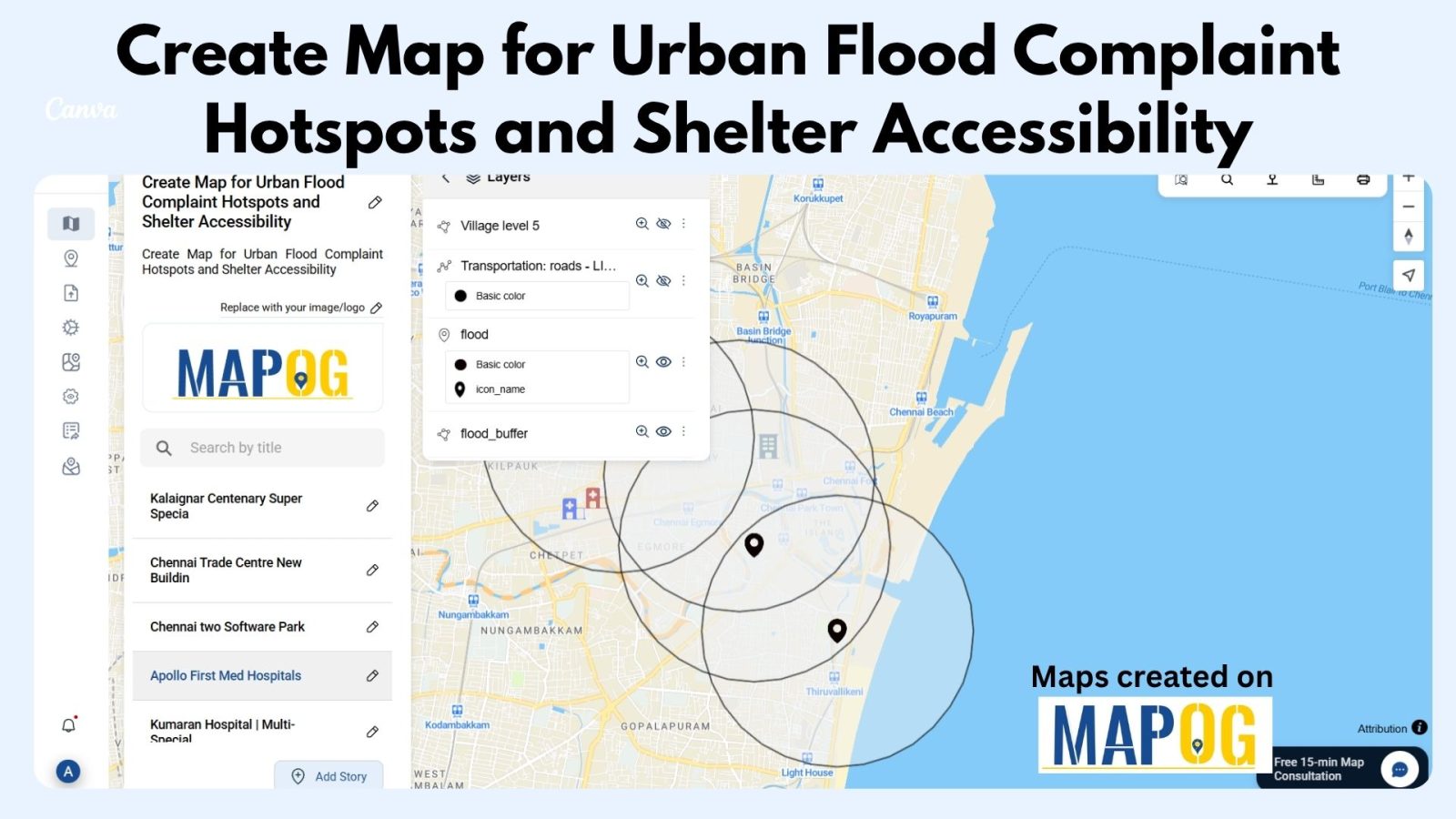
Create Map for Urban Flood Complaint Hotspots and Shelter Accessibility 

In today’s rapidly growing cities, climate change and infrastructure weaknesses have made urban flooding a significant challenge for communities and city planners alike. During heavy rain or storms, certain areas become prone to waterlogging, flood risks, and complaints, putting nearby properties and people at risk. At the same time, identifying high-risk zones and nearby shelters—and … Read more
Flood Risk Mapping with Interactive Web Maps: A SaaS Platform Approach

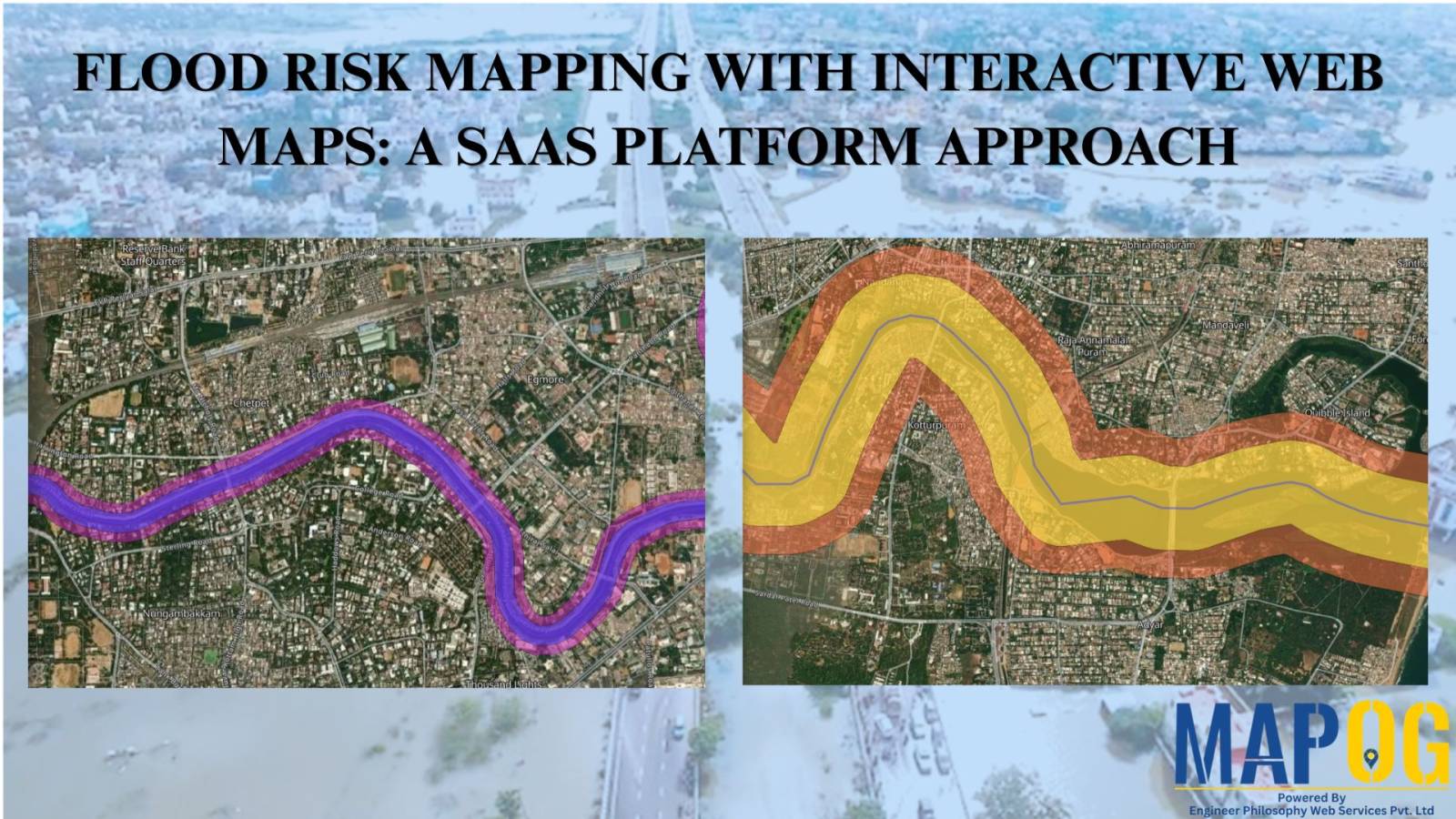
Flood Risk Mapping with Interactive Web Maps: SaaS Approach

A SaaS-based flood risk mapping platform leverages interactive web maps to provide risk assessments. Using GIS, AI, and hydrological data, it enables governments, insurers, and communities to visualize flood-prone areas, enhance preparedness, and optimize response strategies. Cloud-based accessibility ensures scalability, data integration, and seamless user collaboration for proactive risk management. Key Concept How Flood Risk … Read more