Proximity analysis

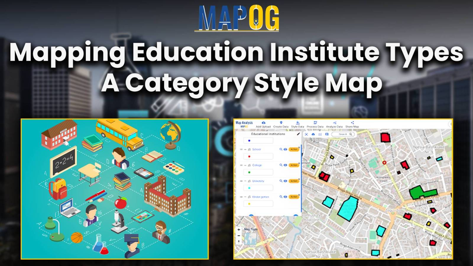
Mapping Education Institute Types : A Category Style Map

Category Style Map: Mapping Education Institution Diversity

In the realm of spatial analysis, understanding the distribution and types of educational institutions is paramount for effective planning and decision-making. With the advent of advanced GIS platforms, such as MAPOG, utilizing tools like proximity analysis has become instrumental in categorizing educational institutions with precision and efficiency. This article delves into the key concept of … Read more

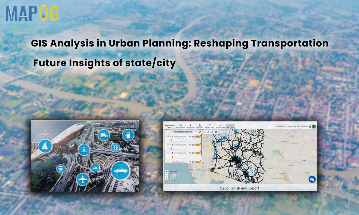
GIS Analysis in Urban Planning: Reshaping Transportation Future Insights of state/city

GIS Analysis in Urban Planning: Reshaping Transportation Future Insights of state/city

In the heart of urban development, where cityscapes and transportation networks intersect, the transformative influence of GIS analysis in urban planning takes center stage. This article delves into the intricacies of reshaping the transportation future through the lens of MAPOG GIS tool, unraveling critical insights that hold the potential to redefine the landscape of [State/City]. … Read more