Proximity analysis

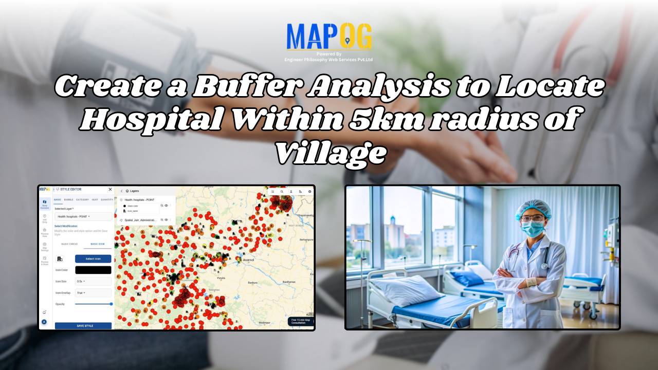
Create a Buffer Analysis to Locate Hospital Within 5km radius of Village

Finding healthcare gaps isn’t just about counting hospitals. Rather, it’s about understanding access, travel range, and unserved rural zones. Therefore, with the help of MAPOG, planners and health departments can visualize these relationships using buffer analysis. Additionally when used in combination with choropleth-style overlays, village point layers, or service area mapping tools, MAPOG makes it … Read more

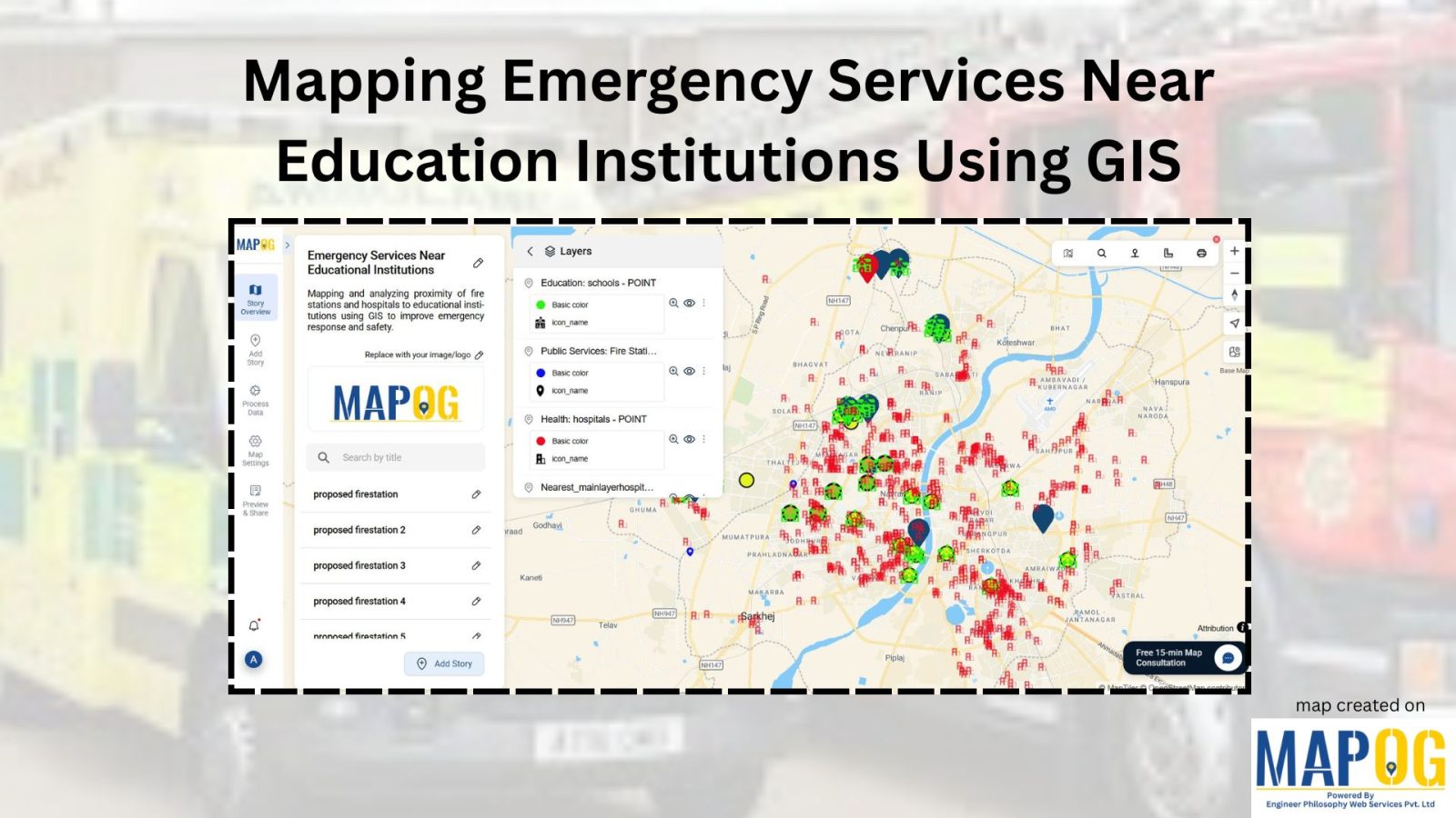
Mapping Emergency Services Near Education Institutions Using GIS

How to Map Emergency Services Near Educational Institutions Using GIS Tools

Ensuring the emergency services Near Education become more critical than ever safety of students in educational institutions is a high priority in urban and regional planning. As cities expand rapidly and population density increases.  This article explains how Geographic Information Systems (GIS) can be effectively used to map emergency services near educational institutions. For this … Read more

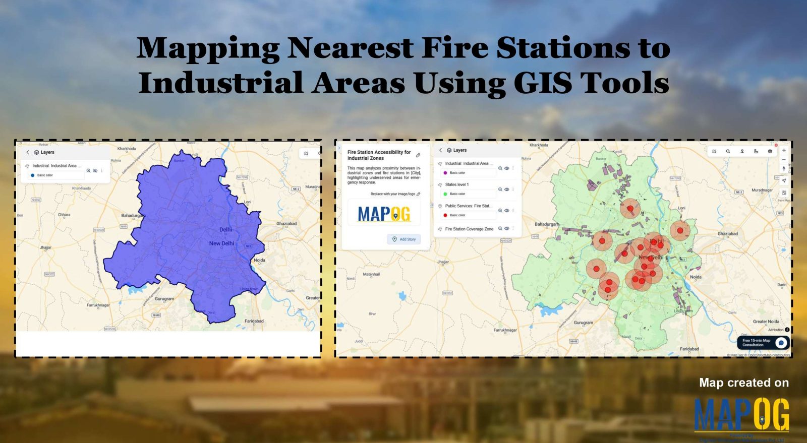
Create a map Fire Stations to Industrial Areas: Mapping Using GIS Tools

In rapidly growing cities, fire safety is critical—particularly in industrial zones, where risk is high and emergency response must be quick. Moreover, fire stations in industrial areas play a key role in reducing disaster response time. This project uses MAPOG, a cloud-based spatial mapping platform, to visualize and analyze coverage gaps in fire response infrastructure. … Read more

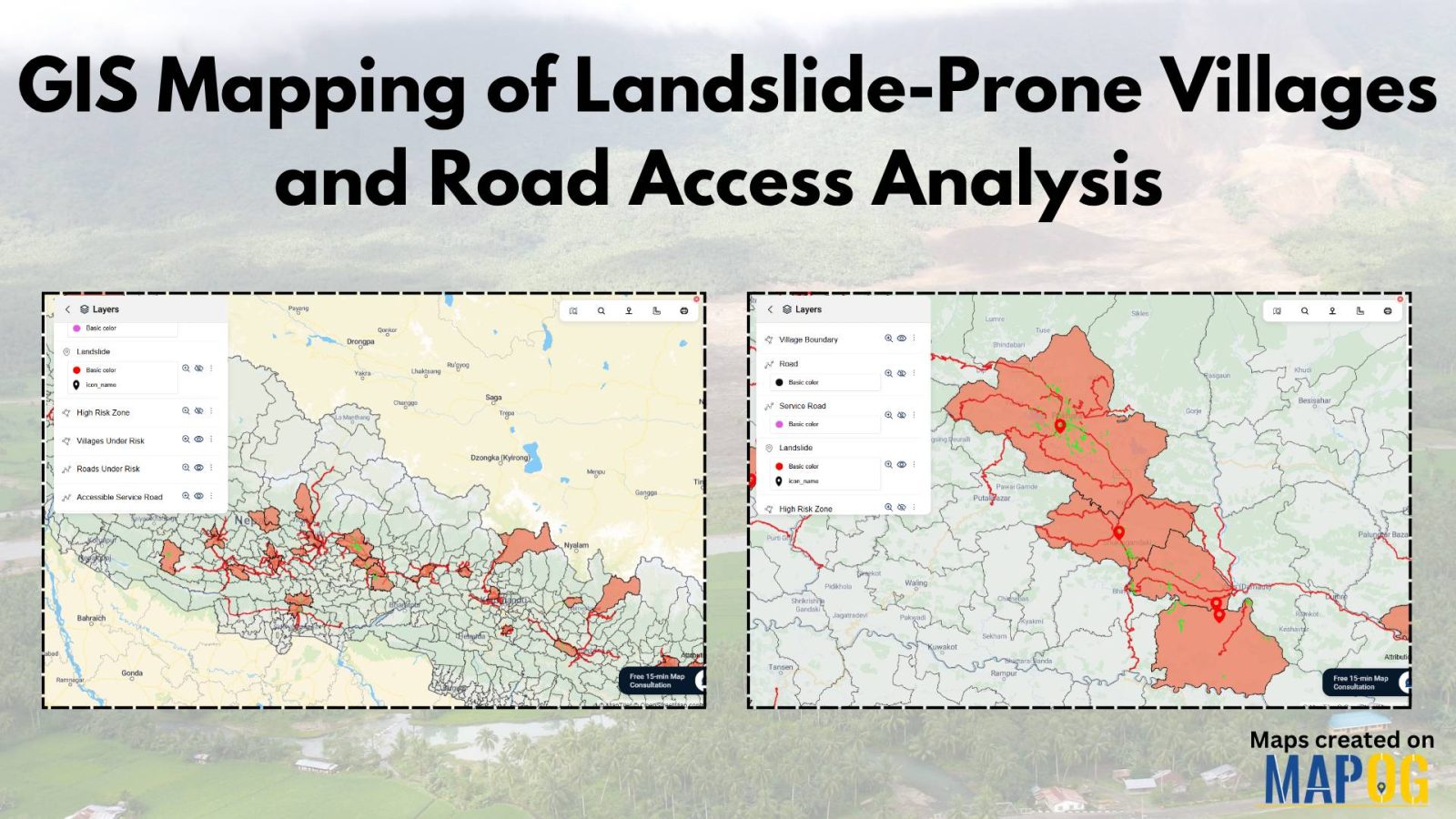
GIS Mapping of Landslide

GIS Mapping of Landslide-Prone Villages and Road Accessibility

In recent years, the importance of GIS Mapping of Landslide-prone areas has grown significantly. As climate conditions continue to worsen and extreme weather becomes more frequent, it is becoming increasingly critical to assess not only the vulnerable zones but also how surrounding communities and nearby roads can be affected. Consequently, this blog will walk you … Read more

The Role of GIS in Cyber Security and Geospatial Intelligence

The Role of GIS in Cyber Security and Geospatial Intelligence 

In today’s data-driven world, maps are no longer just tools for navigation, they are powerful instruments for analysing patterns, making informed decisions, and solving complex problems. Whether Tracking Population and Literacy Data Attribute , Thematic Mapping for Data Analysis or a researcher visualising data, MAPOG is your go-to platform for creating professional, insightful maps. In … Read more

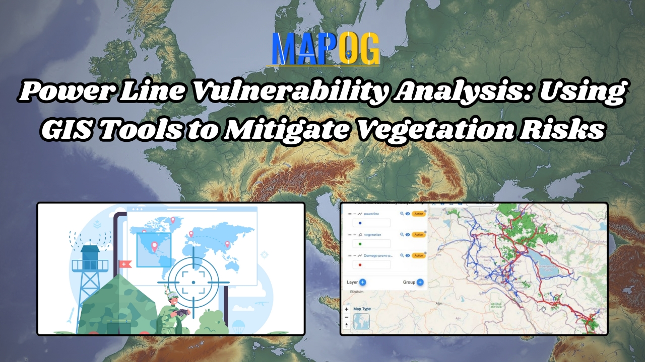
Power Line Vulnerability Analysis: Using GIS Tools to Mitigate Vegetation Risks

In the modern world, electricity is the lifeline powering various infrastructures, industries, and households. But power lines are vulnerable to damage from various natural and anthropogenic factors, with vegetation interference being a significant concern. In this scenario, we can utilise MAPOG to conduct power line vulnerability analysis. This article explores the identification of high-risk vegetation … Read more

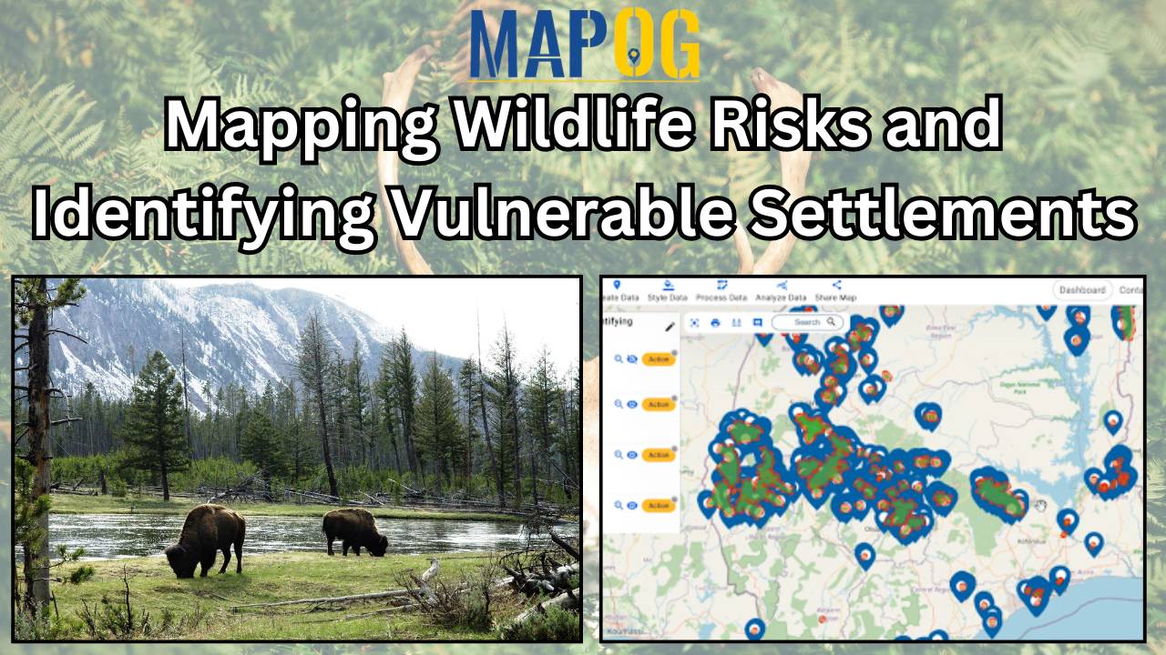
Mapping wildlife risks

Mapping Wildlife Risks: Identifying Vulnerable Settlements

As urban areas expand and encroach upon natural habitats, the potential for conflicts between humans and wildlife increases. Understanding and mitigating these risks is important for both human safety and wildlife conservation efforts. MAPOG serves as an invaluable tool in this attempt, enabling the identification and mapping of vulnerable settlements near forests or wildlife habitats. … Read more

Create a Map to Extract Forest Areas Using Filter Tool

In the realm of environmental analysis and land management, extracting specific geographic features from larger datasets is essential for informed decision-making. In this use case, we explore the extraction of forest areas from a larger dataset using the Filter Tool in MAPOG Map Analysis. By uploading a shapefile of the region and a forest area … Read more