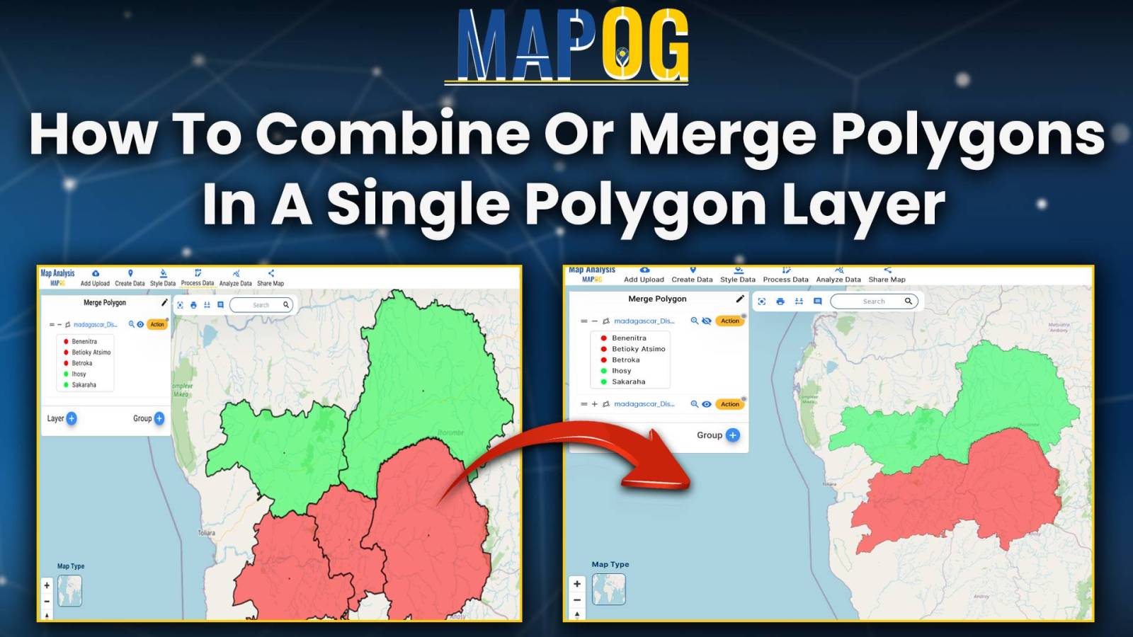
Merge polygon

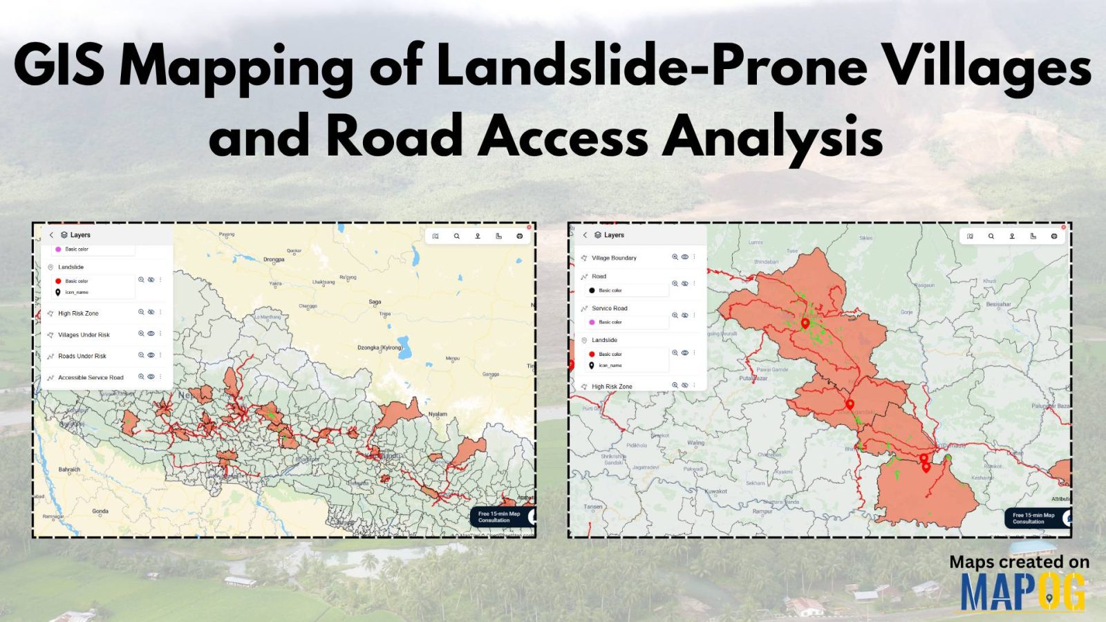
GIS Mapping of Landslide

GIS Mapping of Landslide-Prone Villages and Road Accessibility

In recent years, the importance of GIS Mapping of Landslide-prone areas has grown significantly. As climate conditions continue to worsen and extreme weather becomes more frequent, it is becoming increasingly critical to assess not only the vulnerable zones but also how surrounding communities and nearby roads can be affected. Consequently, this blog will walk you … Read more
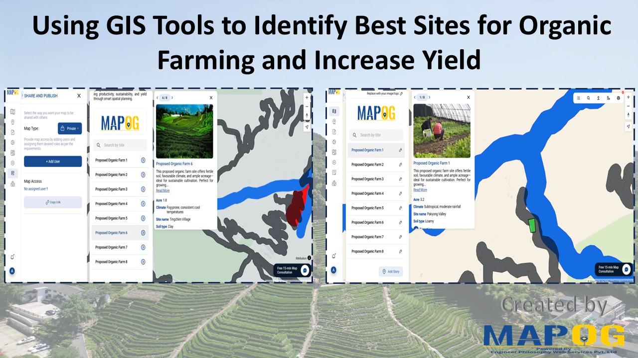
GIS Tool for Organic Farming

Using GIS Tools to Identify Best Sites for Organic Farming and Increase Yield

With the rise of sustainable agriculture, organic farming meanwhile emerges as a key method for eco-friendly food production. However, its long-term success depends, above all, on precise site selection. Fortunately, with the help of a GIS Tool for Organic Farming, such as MAPOG, users can seamlessly adopt Smart Farming with GIS. Moreover, by seamlessly layering … Read more

How to combine or merge polygons in a single polygon layer

How to combine or merge polygons in a single polygon layer

Unlock the power of seamless spatial data management with MAPOG Map Analysis. In this article, discover how the Merge Polygon tool revolutionizes the process of combining polygons into a single layer. Streamline your map analysis workflow and unleash the full potential of your spatial data with MAPOG KEY CONCEPTS Our goal is to merge the … Read more