#GISforEducation

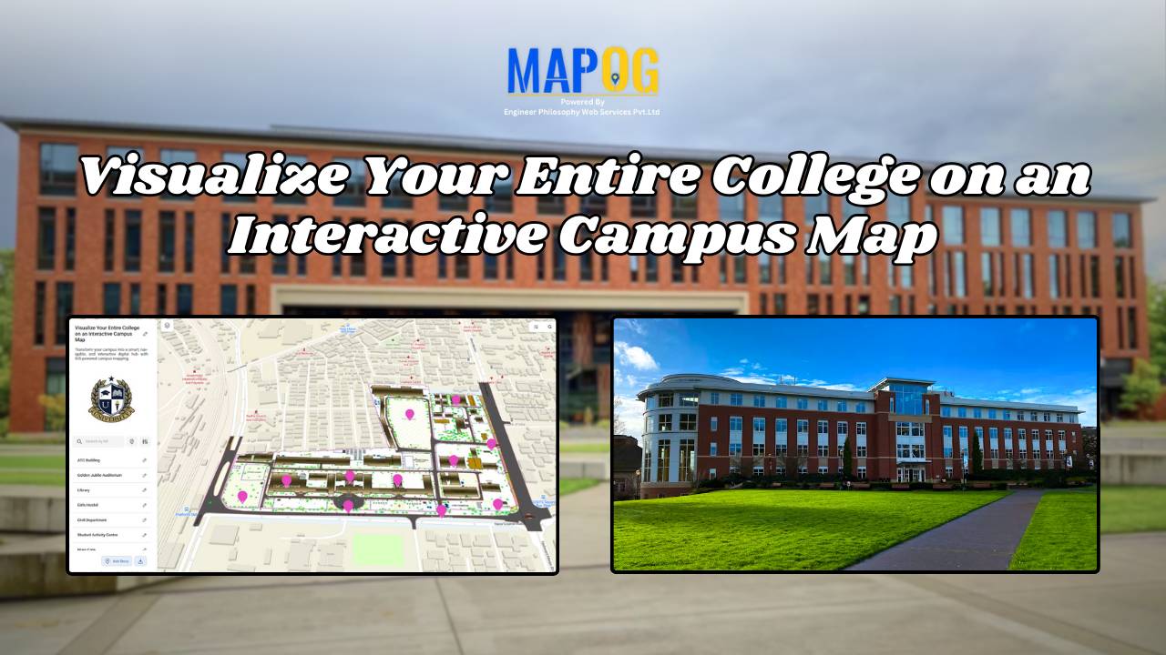
Visualize Your Entire College on an Interactive Campus Map

Interactive Campus Map: Visualize Your Entire College with Smart Digital Navigation

Visualize Your Entire College into a smart, navigable, and interactive digital hub with GIS-powered campus mapping. This modern solution allows colleges and universities to showcase their entire infrastructure—academic buildings, hostels, sports arenas, cultural centers, and even upcoming event venues—on a single interactive map. In this case students, faculty, visitors, and alumni gain instant access to … Read more
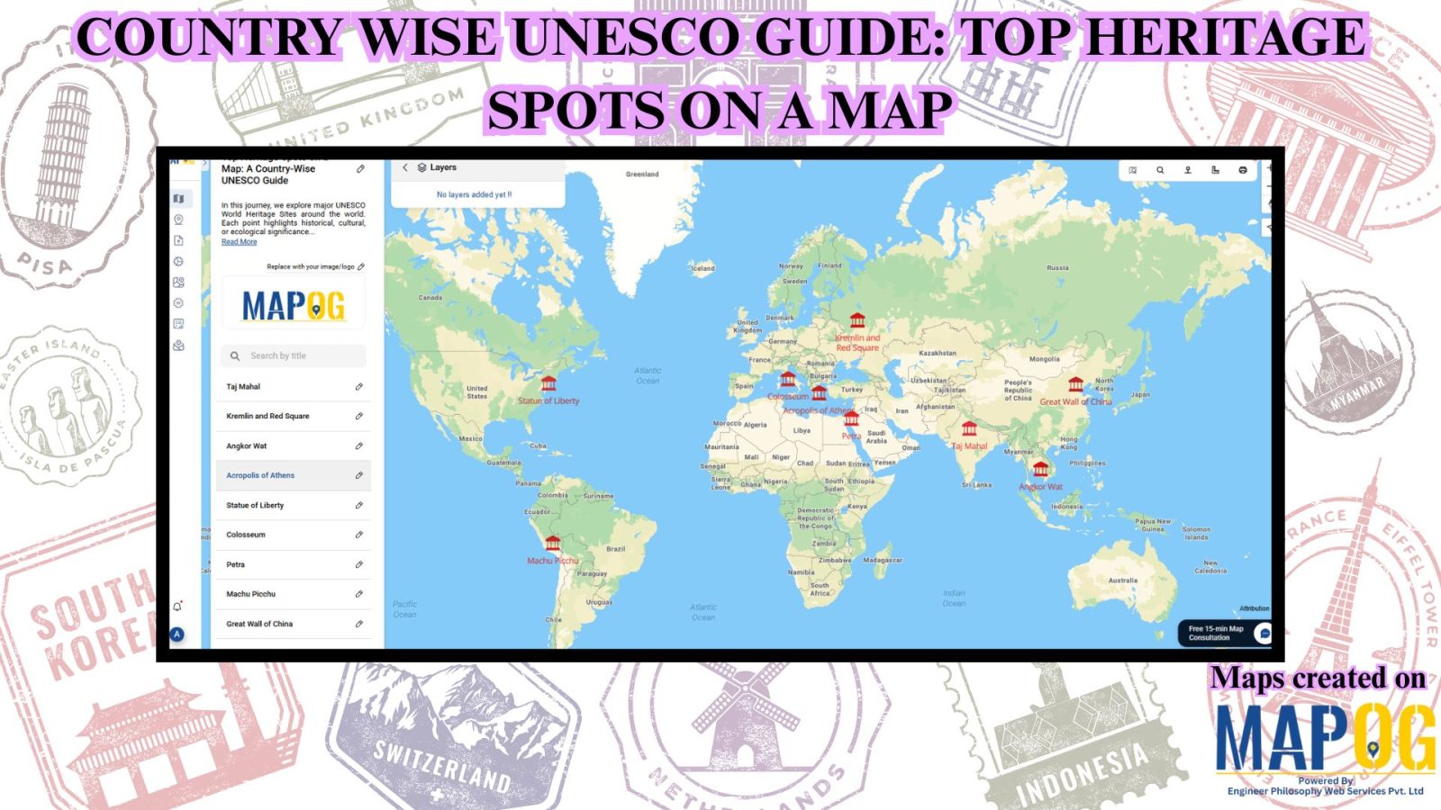
Country Wise UNESCO Guide: Top Heritage Spots on a Map

Create Countrywise UNESCO Map: Top Heritage Spots Guide

Create a country-wise UNESCO Guide Map that highlights both cultural brilliance and natural wonders. On the other hand, by integrating GIS tools, this project enhances public awareness, encourages responsible tourism, and supports heritage preservation. It offers users an educational and immersive storytelling experience that makes exploring global heritage sites more accessible, insightful, and engaging. Key … Read more

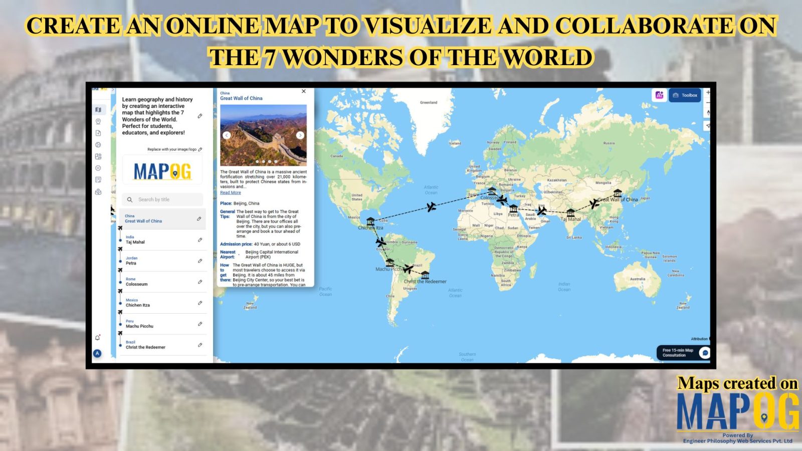
Create an Online Map to Visualize and Collaborate on the 7 Wonders of the World

Learn geography & history by creating an interactive map that highlights the 7 Wonders of the World.

Discover geography and history by creating an interactive map of the 7 Wonders of the World—ideal for students, educators, and explorers. These iconic sites highlight human creativity, engineering, and cultural identity, each reflecting the unique legacy of its civilization. Using Geographic Information Systems (GIS), you can combine geography, history, and travel planning into an engaging … Read more