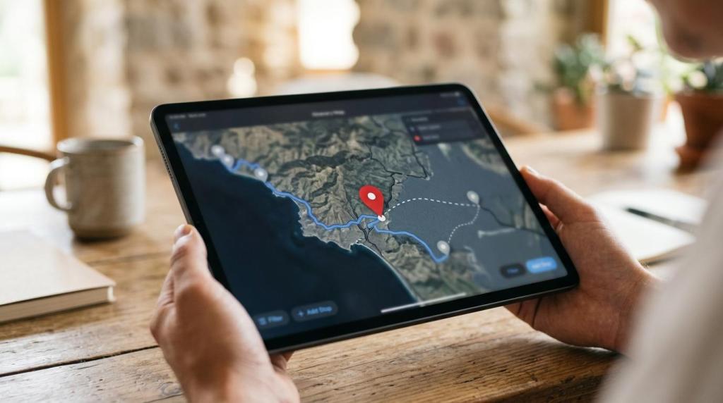
If you need a map builder that does more than place pins on a screen, MAPOG gives you a practical way to create customer-ready map experiences. Our platform helps you build, customize, and publish interactive maps for customer engagement, planning, analysis, and field operations without requiring technical or programming knowledge.
MAPOG is especially useful for travel and tourism businesses, including travel agencies, tour operators, hotels, resorts, tourism boards, adventure and trekking companies, and transport services. You can turn locations, routes, service areas, and on-the-ground information into mobile-friendly maps that are easy to share, easy to embed, and easier for customers to use.
Interactive map builder software for better customer experiences and easier navigation
MAPOG map builder software helps you replace long location lists and static directions with interactive maps people can actually use. You can add images, videos, links, notes, routes, and location details so customers can explore visually, understand options faster, and move from interest to action with less friction.
“MAPOG fits a market where 95% of surveyed executives told BCG that mapping and geospatial data are important to business results today.”
That shift matters because customer experience is often tied to location clarity. MAPOG supports the same pattern described in a BCG report, where mapping and geospatial data are used to improve customer experience and business processes at the same time.
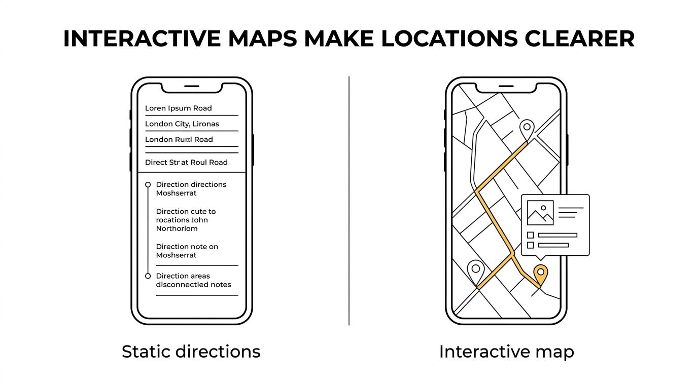
For your customers, that can mean clearer wayfinding, easier trip planning, faster store or service discovery, and a better sense of what happens next. For your team, it means fewer manual explanations, fewer disconnected location assets, and a more useful way to present place-based information.
MAPOG map builder for travel, tourism, hospitality, and transport brands
MAPOG is designed for organizations that need maps to do real business work, not just decorate a website. If you run tours, manage hotel or resort experiences, promote destinations, coordinate adventure routes, or guide passengers across pickup and drop-off points, MAPOG helps you present that information in a format customers understand quickly.
“MAPOG supports rich, interactive maps with images, videos, links, and notes, giving travel and tourism businesses more than a basic location pin.”
A destination map can show attractions, accommodations, transport links, and booking context in one place. A tour map can visualize routes, stops, timing notes, and media. A resort or hospitality map can help guests navigate amenities, activities, meeting points, and nearby services from any device.
MAPOG also works well when customer experience and operations overlap. The same platform can support customer-facing map publishing while helping your internal team with route planning, analysis, territory design, and mobile data collection.
Here are a few common ways businesses use MAPOG map builder software:
- Customer-facing maps: Show locations, services, routes, or points of interest with rich content that improves discovery and decision-making.
- Embeddable website maps: Add interactive maps to your site so customers can explore destinations, branches, tours, or service areas without leaving the page.
- Operational maps: Give field teams, sales teams, or service teams a shared visual view of territories, tasks, routes, and on-site information.
What you can build with MAPOG no-code interactive maps
MAPOG makes it easier to build maps that are useful to both customers and internal teams. Because the platform is no-code, the work stays accessible to business users who need to launch and update maps without waiting on development resources.
With MAPOG, you can create map experiences such as:
- Tour and itinerary maps: Combine routes, stops, notes, and media so travelers can understand the full journey before they arrive.
- Hotel, resort, and venue maps: Show amenities, access points, activity zones, nearby attractions, and service details in a visual format guests can use on mobile.
- Store, branch, or franchise maps: Help customers find locations, get directions, review services, and choose the right destination faster.
- Service area and transport maps: Display coverage zones, pickup points, transfer routes, or operating regions with clearer location context.
- Private team maps: Use role-based access and privacy controls when the map is for staff, partners, or approved users rather than the public.
MAPOG Create & Publish workflow keeps map delivery fast and practical
MAPOG lets you build and publish interactive maps through its Create & Publish workflow, which keeps the path from setup to live sharing straightforward. If you already have mapping elements in other tools, MAPOG also supports importing boundaries, routes, markers, and project zones so your team does not have to recreate them manually.
“MAPOG lets you import boundaries, routes, markers, and project zones instead of rebuilding map data by hand.”
That saves time at the point where many mapping projects stall. You can start with the data and geography you already have, organize the experience for your audience, and publish a map that is ready to share internally or externally.
MAPOG also supports exporting lines, polygons, circles, rectangles, and other annotations for use in GIS software, project management systems, client reports, or field applications. That makes the platform useful not only for presentation, but also for moving location data between planning, reporting, and execution workflows.
MAPOG connects customer-facing map publishing with analysis, routing, and field workflows
Many businesses need more than a map builder, especially once the map becomes part of daily operations. MAPOG brings together interactive map creation with map analysis, route planning, GIS data download, mobile data collection, field sales and service mapping, and territory design.
“MAPOG combines map creation and publishing with route planning, map analysis, GIS data download, mobile data collection, and territory design.”
That matters if your customer experience depends on accurate field information, efficient service coverage, or current route logic. Instead of managing a customer-facing map in one tool and operations in another, MAPOG gives you a connected environment for building, refining, and using location data.
MAPOG’s broader cloud-based geospatial services also include custom basemaps and interactive maps, geocoding and address matching, GIS data conversion, remote sensing services, cartography, and emergency response mapping. If your use case grows beyond basic publishing, MAPOG has adjacent capabilities that support more complex spatial work.
MAPOG map builder software improves clarity for customers and decision-making for teams
A good map experience does two jobs at once. It helps customers understand where to go, what is available, and how to act. It also helps your team visualize, update, and communicate location-based information more effectively.
That business value is consistent with how geospatial tools are used more broadly. Federal Highway Administration guidance describes geospatial technologies as tools for storing, querying, visualizing, communicating, and making better decisions with location-based data. MAPOG turns those functions into practical map experiences you can publish and use day to day.
If you collect information in the field, MAPOG’s mobile data collection capability adds another layer of value. Teams can gather on-site feedback and see it live on a map, which supports earlier issue identification, quicker decisions, better communication, and a stronger customer experience.
When MAPOG is the right fit for your map builder project
MAPOG is a strong fit when your business needs a map that people will actually use, maintain, and share. It is especially relevant when your map needs to support both customer experience and operational visibility.
MAPOG is likely a good match if you need to:
- Launch without custom development: You want a no-code map builder your business team can manage directly.
- Publish maps across channels: You need maps that are shareable, embeddable, and mobile-friendly for customers, staff, or partners.
- Add business context to locations: You want images, videos, links, notes, routes, and service details attached to places on the map.
- Control access: You need role-based permissions or privacy controls for internal or restricted map use.
- Connect maps to real workflows: You want map publishing tied to planning, field operations, route management, analysis, or GIS data movement.
If your current setup relies on static PDFs, text-heavy location pages, disconnected route notes, or manually recreated map data, MAPOG can make that workflow clearer and easier to manage.
Talk to MAPOG about the map experience you want to build
If you want your locations, routes, service areas, or destination content to become a better customer experience, MAPOG can help you turn that information into an interactive map that is easier to publish and easier to use.
Contact MAPOG to discuss your map builder use case, whether you need a customer-facing experience, an internal operational map, or a setup that supports both.