Isochrone

GIS Mapping Public Service

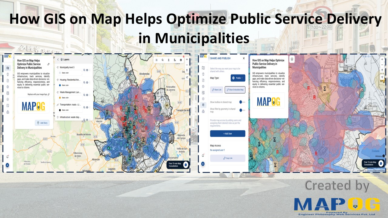
How GIS Mapping Optimizes Public Service Delivery in Municipalities

In today’s data-driven world, GIS Mapping Optimizes Public Service Delivery by transforming how cities manage essential services. MAPOG help planners visualize, analyze, and optimize infrastructure such as waste management, healthcare, and safety. With targeted layers like Public Health Maps and tools to Map EV Charging Stations, cities address both core needs and sustainability goals. As … Read more

Free GIS Mapping Tools for Students and Researchers

Free GIS Mapping Tools for Students and Researchers

In today’s logistics-driven world, Geographic Information Systems (GIS) play a pivotal role in analyzing spatial data for informed decision-making. Fortunately, MAPOG offers Free GIS Mapping Tools that empower students, researchers, and planners to explore and visualize real-world location-based patterns. With tools such as Buffer Zones, Clip and Isochrones, users can easily identify optimal sites for … Read more

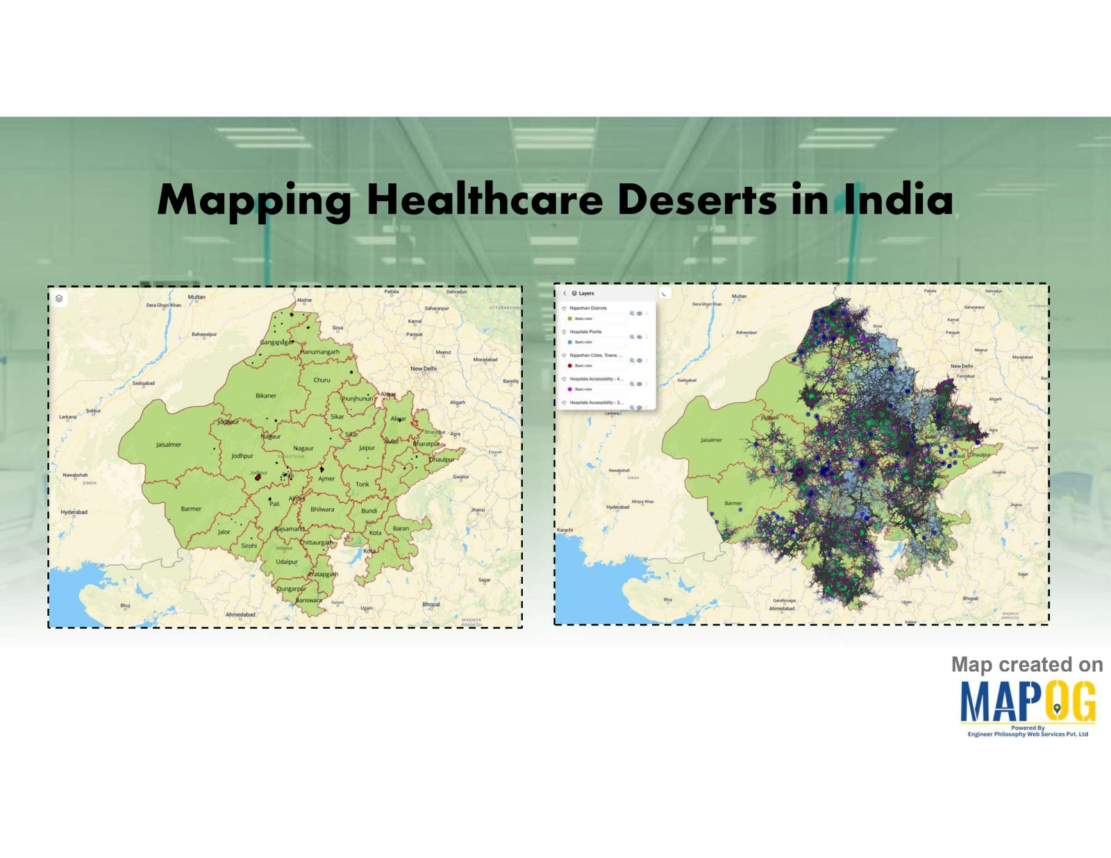
Mapping Healthcare Deserts in India

Identifying Areas with Limited Access to Doctors and Medical Facilities Mapping healthcare deserts in India helps expose one of the biggest barriers to healthcare access: geography. Although access to healthcare is a fundamental right, how soon someone can reach a hospital often depends more on location than need. Healthcare desert mapping—regions where timely access to … Read more

Facilitating warehouse location selection

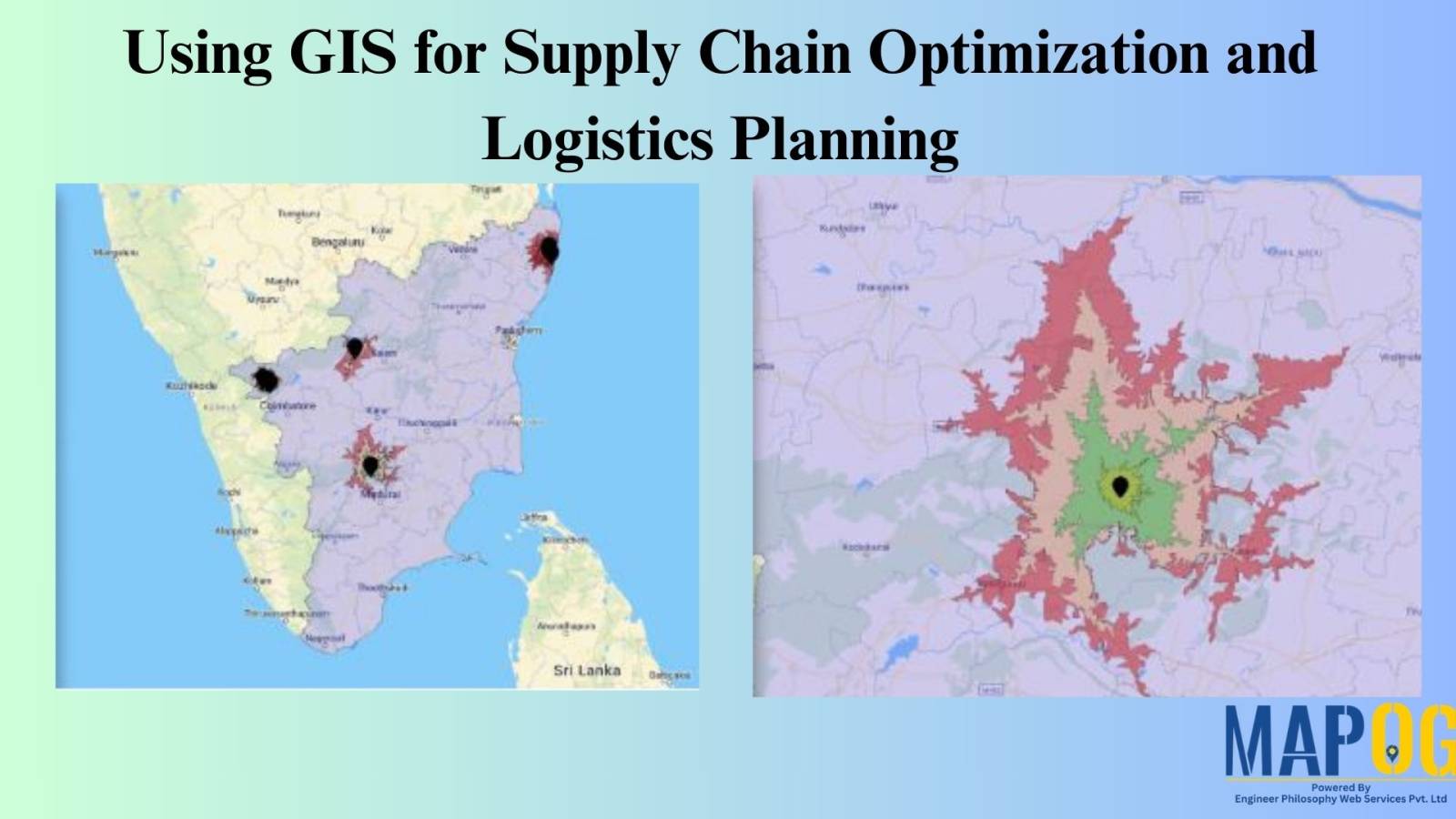
Optimizing Warehouse Location Selection with GIS for Supply Chain Efficiency

GIS optimizes supply chains and logistics by enabling precise route planning, fleet tracking, warehouse Site Selection, Demand Forecasting, and Risk Assessment. It enhances inventory management, facilitating warehouse location selection, reduces transportation costs, improves delivery efficiency, and supports data-driven decision-making, ensuring streamlined operations, better resource utilisation, and improved customer satisfaction across supply networks. Key Concept in … Read more

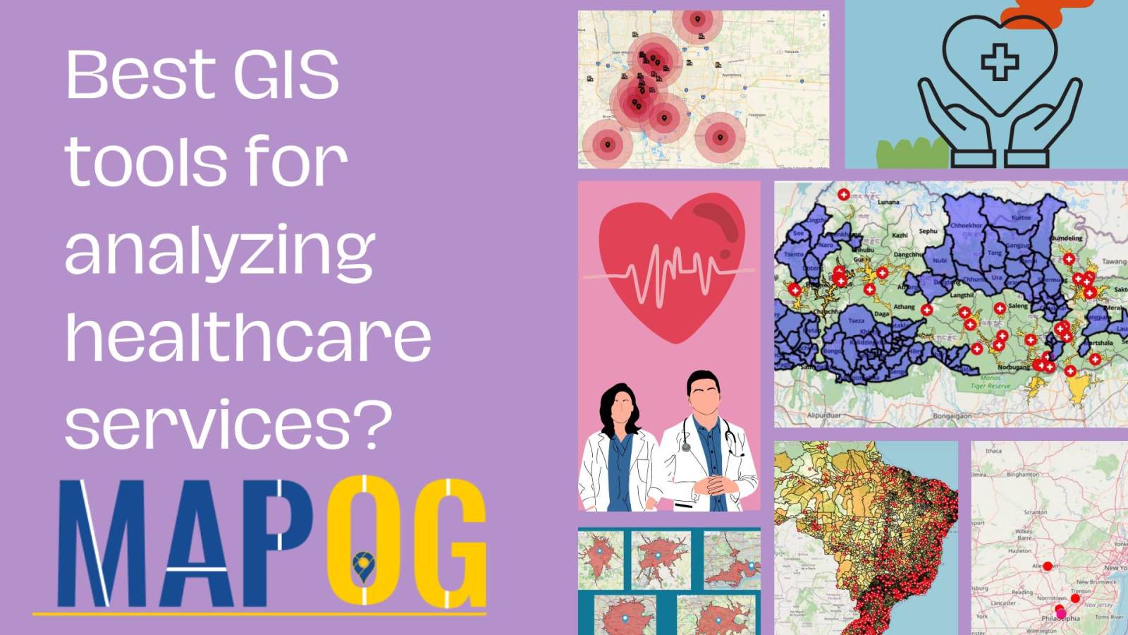
Best GIS Tools for Healthcare Analysis: Enhancing Accessibility & Resource Allocation

Healthcare is an industry in which the basis for many decisions could be driven by data. For instance, healthcare services can be effectively analyzed with spatial insight into resource allocation and disease distribution, which, in turn, determines the accessibility of care. Therefore, this article presents some of the best GIS tools available for healthcare professionals … Read more

How to Use Isochrone Maps for Business Growth & Location Planning

In today’s fast-paced world, businesses need tools that help them make data-driven decisions. Isochrone maps, which visualize areas accessible within a certain time or distance, can be a game-changer. They provide insights into customer reach, delivery zones, and more. This article explores how isochrone maps can benefit your business and use MAPOG to create meaningful … Read more