On-Map Travel Planning: How to Build and Share Interactive Itineraries Transform Client Experiences
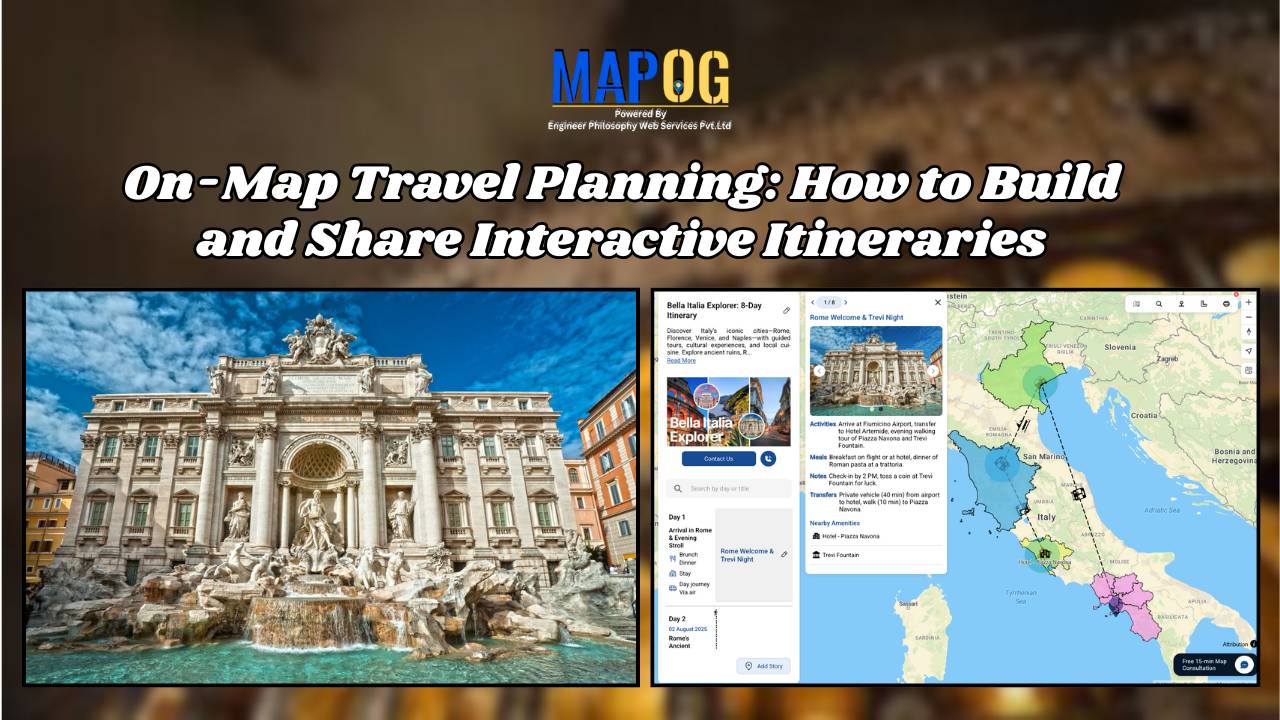
On-Map Travel Planning: How Interactive Itineraries Transform Client Experiences In modern travel , clients no longer want static itineraries—they want to see their journey unfold. Traditional PDFs and spreadsheets may list activities, but they fail to convey geography, movement, or the emotional arc of a trip. This is where on-map travel planning changes the game. … Read more