#PublicAmenitiesMapping

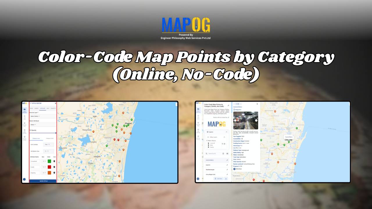
Color-Code Map Points by Category (Online, No-Code)

To begin with, Color-Code Map Points is a simple yet powerful way to transform raw data into clear, visual insights. Moreover, this approach enables governments, planners, and communities to classify projects, services, or assets into instantly understandable categories on a single interactive map. As a result, we can instantly track and visualize metro stations in … Read more

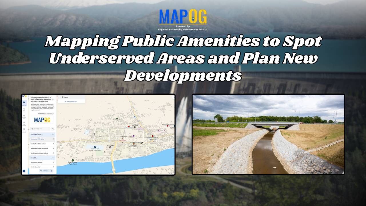
Mapping Public Amenities to Spot Underserved Areas and Plan New Developments

Public Amenities Mapping with GIS: How Cities Can Improve Schools, Hospitals, Parks & Community Services

Mapping Public Amenities to transform your city into a granted transparent, inclusive, and well-planned urban space with GIS-powered public amenity mapping. This modern approach enables governments, planners, and communities to visualize essential services such as schools, hospitals, parks, libraries, and more on a single interactive map. By identifying underserved areas as much as cities can … Read more