Home Map Analysis Route Compass Download GIS Data Mobile Data Collection Field Sales & Service Territory Design Blog Contact Sign up
Tag

#mapog

122 articles in this collection

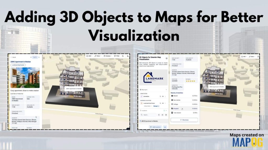
Adding 3D Objects to Maps for Better Visualization
Adding 3D Objects to Maps for Better Visualization

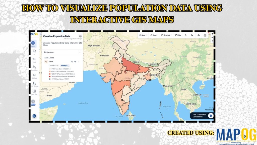
How to Visualize Population Data Using Interactive GIS Maps
How to Visualize Population Data Using Interactive GIS Maps

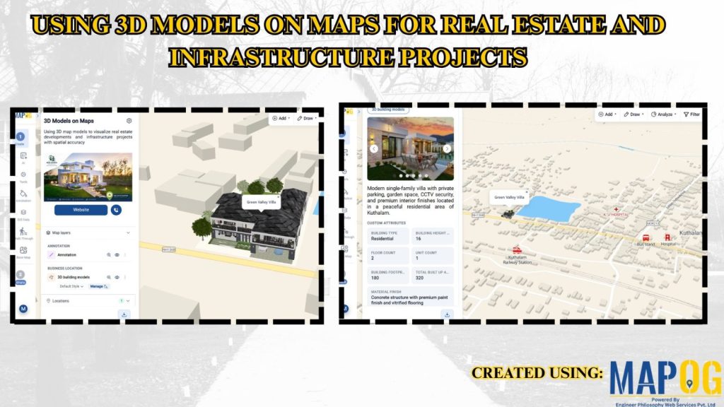
Using 3D Models on Maps for Real Estate and Infrastructure Projects
Using 3D Models on Maps for Real Estate and Infrastructure Projects

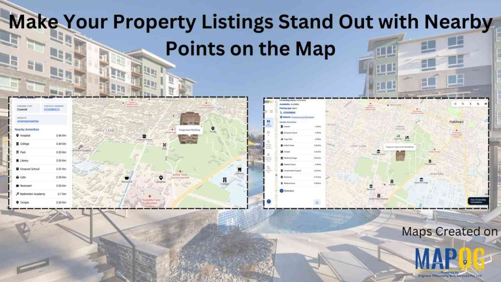
Make Your Property Listings Stand Out with Nearby Points on the Map
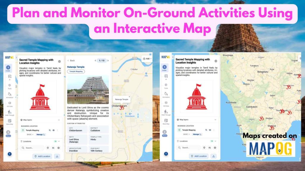
Make Your Property Listings Stand Out with Nearby Points on the Map

Plot Your Points on a Map and Add Details with Images
Plot Your Points on a Map and Add Details with Images

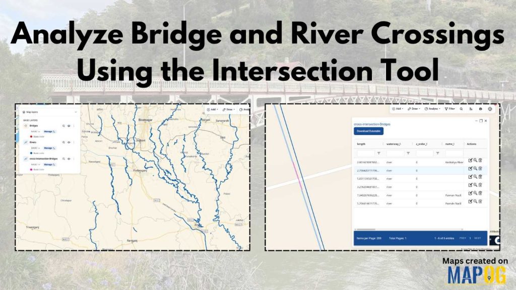
Analyze Bridge and River Crossings Using the Intersection Tool
Analyze Bridge and River Crossings Using the Intersection Tool

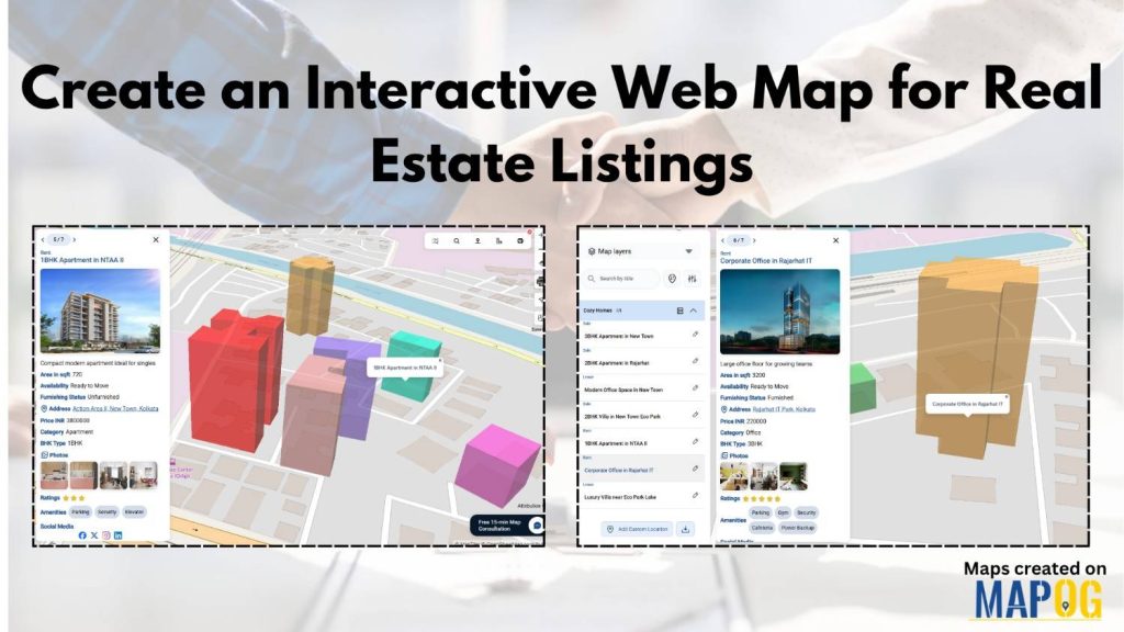
Create an Interactive Web Map for Real Estate Listings
Create an Interactive Web Map for Real Estate Listings

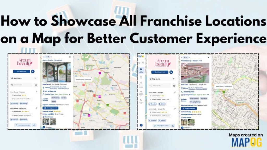
How to Showcase All Franchise Locations on a Map for Better Customer Experience

How to Showcase All Franchise Locations on a Map for Better Customer Experience

1…456…16
Page 5 of 16
← Back to blog