#InteractiveMap

Plan and Monitor On-Ground Activities

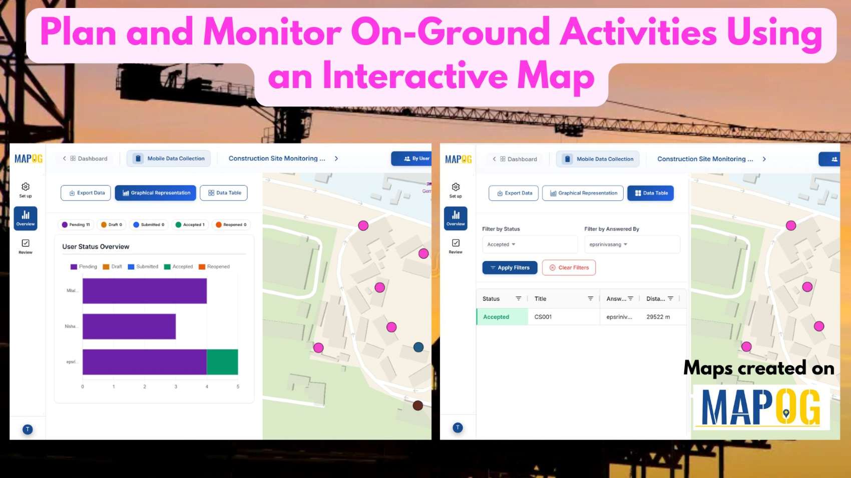
Plan and Monitor On-Ground Activities Using an Interactive Map

In today’s fast-paced operational environment, plan and monitor on-ground activities across multiple locations can quickly become complex and inefficient when handled through disconnected tools. Teams often struggle with limited visibility, delayed updates, and scattered communication, which slows execution and decision-making. With MAPOG, organizations can centralize their planning and monitoring processes on a single interactive map. … Read more

Draw 3D Building Models Online – Interactive Map Tutorial for Urban Planners & Developers

As cities evolve into smarter, data-driven ecosystems, interactive 3D building visualizations are transforming the way we explore and understand urban spaces, and learning how to draw 3D buildings has become an essential skill in this transformation. Whether used for dynamic urban planning, immersive real estate showcases, or engaging educational projects, 3D models turn ordinary maps … Read more