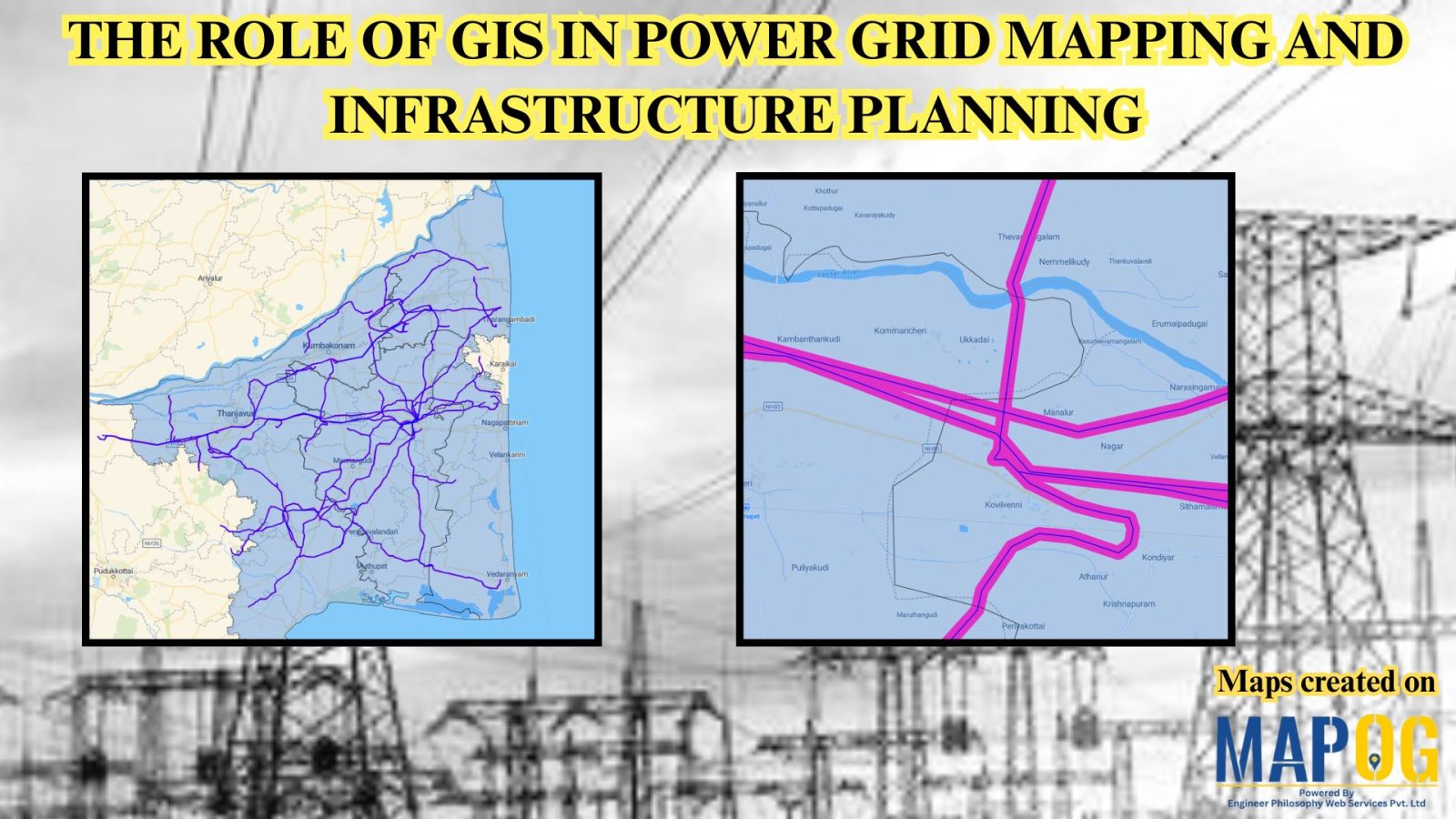
Power Grid and Infrastructure mapping and planning using GIS
Geographic Information Systems (GIS) are revolutionizing power grid mapping and infrastructure planning. By linking geospatial intelligence with electrical grid data, GIS enables utility companies and energy planners to visualize, assess, and optimize power distribution networks. Furthermore, it supports everything from the planning of substations and transmission lines to the ongoing monitoring of grid performance. As … Read more