Blog

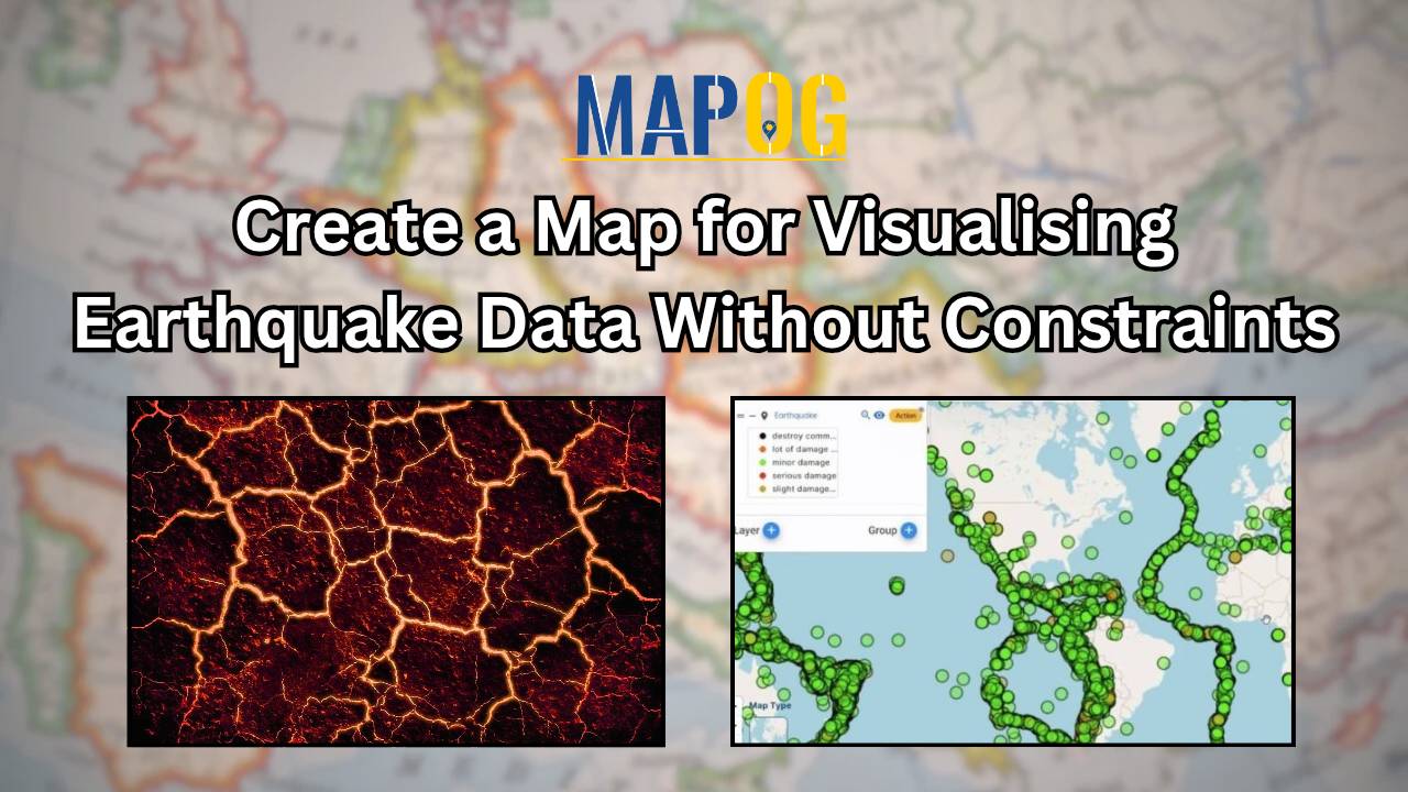
Create a Map for Visualising Earthquake Data Without Constraints

In the dynamic realm of disaster response, precision and adaptability are crucial. The MAPOG Map Analysis tool emerges as a groundbreaking solution that transcends traditional limitations in mapping seismic events. This comprehensive guide spotlights MAPOG’s unique feature: the ability to create a map for visualizing Earthquake Data without constraints. Unlike conventional tools, MAPOG empowers users … Read more

Efficient Agricultural Land Redistribution Using GIS Mapping Tools

Efficient Agricultural Land Redistribution Using GIS Mapping Tools

In today’s global landscape, the management and distribution of agricultural land have become critical factors in ensuring sustainable food production and equitable resource access. However, many regions face challenges with fragmented land ownership patterns and inefficient land use practices, hindering optimal agricultural productivity and creating socioeconomic disparities. In this context, mapping the farmlands with equitable … Read more

Plan Efficient Water Navigation Routes with Route compass

“Plan Efficient Water Navigation Routes with Route compass” will help water route creators to prime their planning process, make easy transitioning between locations and create schedule for guide speaking on related events. MAPOG Compass tool Voyage planner aids in creating itineraries for tour guides and plane navigation for expeditions hopping islands across various routes. Get … Read more

How to Map and Address Flood Risks Along Rivers: A Complete Guide

Welcome to MAPOG, where we address flood risks with innovative solutions along the Rivers. This example demonstrates how MAPOG‘s tools can map and analyze flood risks, providing valuable insights for strategic planning. Join us as we navigate through this use case, showcasing MAPOG‘s capabilities in mapping and addressing flood risks. Key Concept Within this key … Read more

Navigating Mining Area Safety with Route Compass

Navigating Mining Area Safety with Route Compass

MAPOG‘S Navigating Mining Area Safety with Route Compass utilizes virtual reality technology to ensure site safety in traditional mining operations areas. This innovative technology creates an artificial environment, safeguarding people and equipment, and facilitating regulation observance. Immerse yourself in the dynamic landscapes of urban planning through “GIS Analysis in Urban Planning: Reshaping Transportation Future Insights … Read more