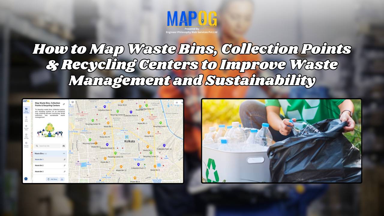
How to Map Waste Bins, Collection Points & Recycling Centers to Improve Waste Management and Sustainability
Waste management is one of the most pressing urban challenges today. However, technology offers us smarter solutions. For example, when you map waste bins, collection points, and recycling centers on an interactive platform, cities can better optimize collection, reduce overflow, and encourage sustainable disposal. Moreover, MAPOG makes it simple to visualize, customize, and share such … Read more