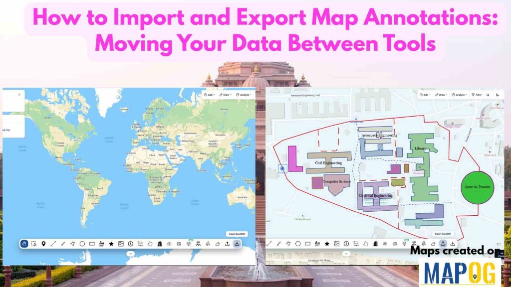
Infrastructure and utility projects often involve multiple teams using different mapping and planning tools. Engineers may create project boundaries in one platform, contractors may review them in another, and field teams may need the same information on mobile devices. When annotation data cannot be transferred easily between systems, teams often redraw boundaries, routes, and project areas manually, leading to delays, inconsistencies, and errors. MAPOG helps solve this challenge by allowing users to import and export map annotations, ensuring that important location data moves seamlessly between tools and stakeholders.
Key Concepts
Importing and exporting map annotations enables organizations to maintain a single source of location information across different platforms. MAPOG allows users to import existing boundaries, routes, markers, and project zones instead of recreating them manually. Users can also export lines, polygons, circles, rectangles, and other annotations for use in GIS software, project management systems, client reports, or field applications. This reduces duplication of work and helps ensure that all teams are working with the same geographic data.
Step to How to Import and Export Map Annotations
Step 1: Create and Upload Locations
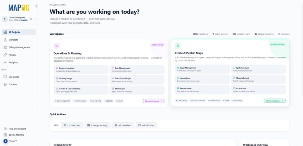
Open MAPOG, and click on Open Workspace in the Create & Publish section — where you can build interactive maps, add layers, run spatial analysis, and publish shareable maps using rich GIS datasets.
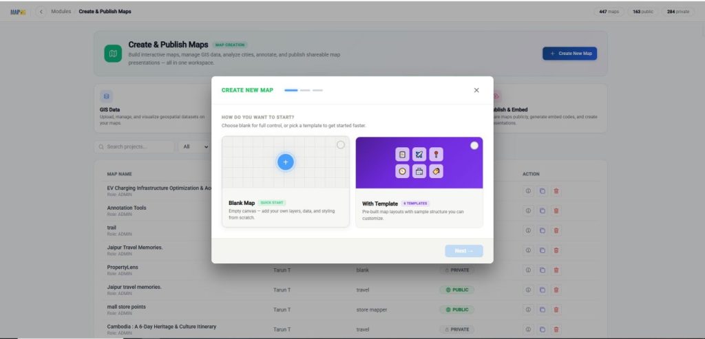
Click on Create New Map – choose Blank Map to start from scratch with your own data and styling, or With Template to use a pre-built layout you can quickly customize. Then click on the “blank template” option.
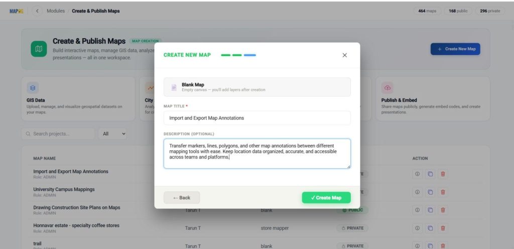
Then provide a title, description, then click create to initialize your project.
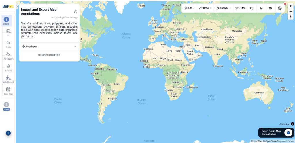
Finally, after coming to the interface, open the map settings.
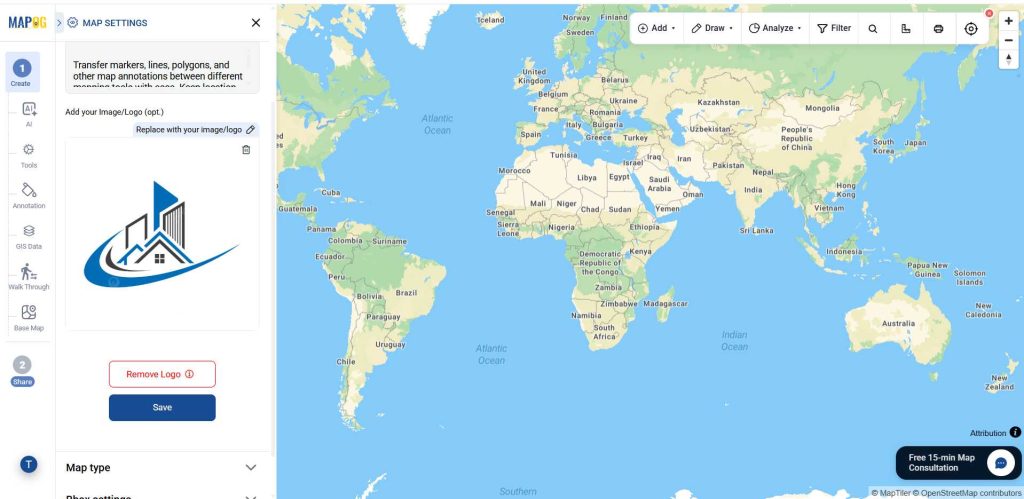
Then, browse & upload your logo, and save your changes.
Step 2. Importing Map Annotations
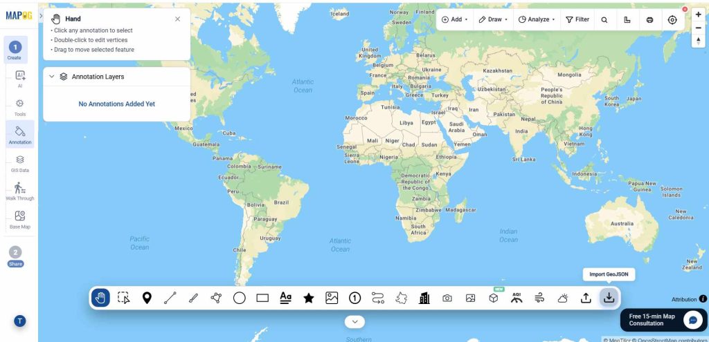
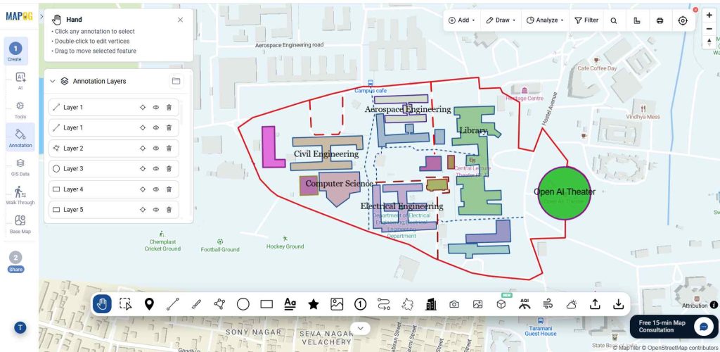
Navigate to the annotation section of the map. To import existing map annotations such as markers, lines, polygons, circles, and boundaries, select the Import GeoJSON option and upload your GeoJSON file.
Step 3. Exporting Map Annotations
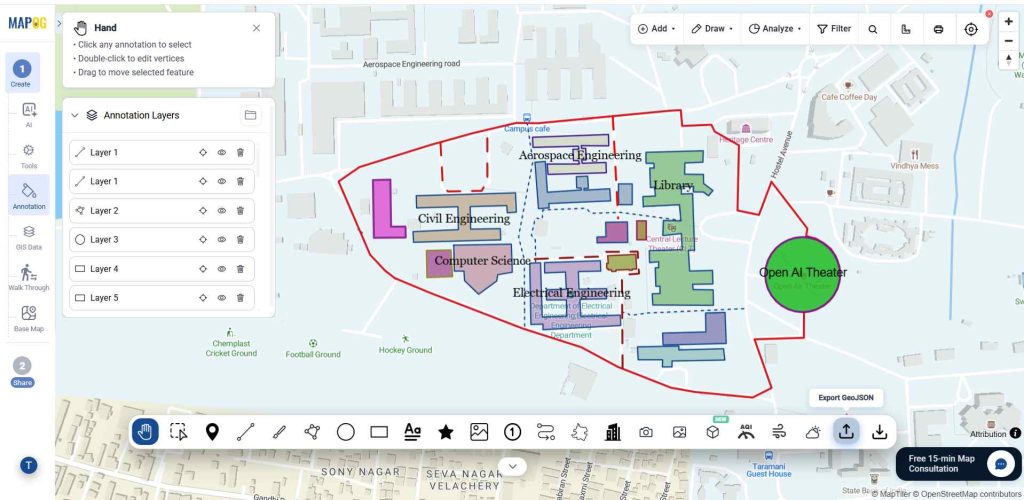
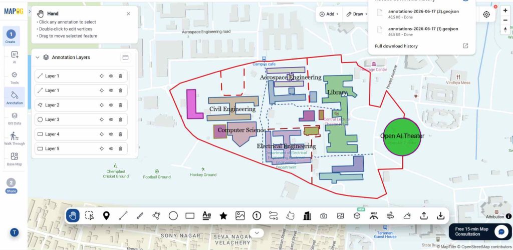
Then to export your annotations for use in other mapping tools or projects, select the Export GeoJSON option. This allows you to download and share your map annotation data while preserving its structure and location information.
Applications of How to Import and Export Map Annotations
Organizations can import site boundaries, service areas, and project zones from external sources to accelerate planning and analysis. Construction teams can transfer site layouts between consultants and contractors without losing important map information. Real estate and franchise expansion teams can share territory boundaries and location assessments with partners using standard data formats. Environmental, utility, and infrastructure projects can move annotation data between mapping platforms while maintaining geographic accuracy and consistency.
Conclusion
That’s how you can use MAPOG to import and export map annotations across different tools and workflows. By eliminating the need to redraw important map features, MAPOG helps organizations reduce errors, save time, and improve collaboration. Whether you’re managing utility networks, construction projects, transportation corridors, or infrastructure assets, seamless annotation transfer ensures that critical location data remains accurate and accessible throughout the project lifecycle. Here are topics related to this topic: