#SpatialData

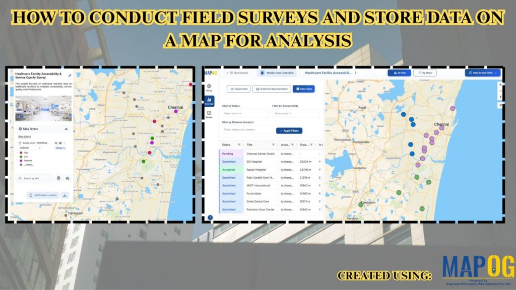
How to Conduct Field Surveys and Store Data on a Map for Analysis
How to Conduct Field Surveys and Store Data on a Map for Analysis

Healthcare systems often face fragmented data and limited visibility, therefore planning and service delivery become challenging. However, MAPOG mobile data collection capability helps teams conduct Healthcare Facility Surveys and analyze accessibility by capturing accurate field surveys and store data in real time, ensuring consistency and enabling faster, data-driven decisions. Key Concepts: Field Surveys and Store … Read more

A Colony Base Map with Individual Plots as Polygons

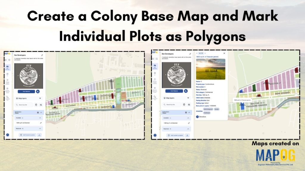
Create a Colony Base Map and Mark Individual Plots as Polygons
In land development, managing multiple plots is difficult due to scattered paperwork, unclear boundaries and limited visualization. Plot allocation and ownership tracking become challenging without structured digital maps. MAPOG solves this by representing each plot as a polygon on the colony base map linked to details like plot number and ownership, allowing planners and developers … Read more

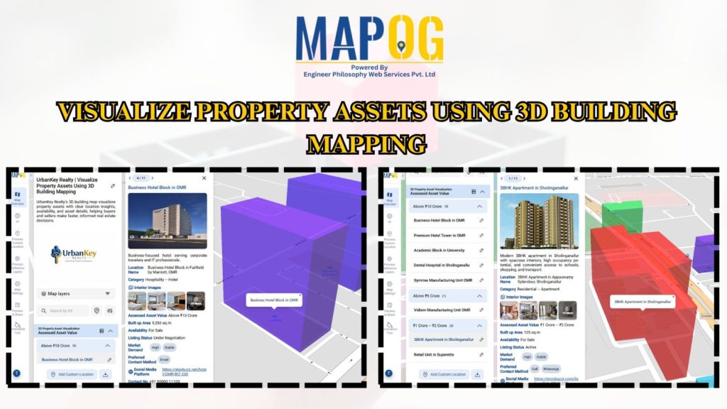
Visualize Property Assets Using 3D Building Mapping
Visualize Property Assets Using 3D Building Mapping

Traditional spreadsheets and flat property listings hide high-value real estate assets to flat rows of data, critical spatial context making it hard to understand location impact, building scale, and asset relationships slowing decisions and increasing guesswork. MAPOG changes this by transforming real estate data into interactive 3D building maps, allowing teams to Visualize Property Assets … Read more

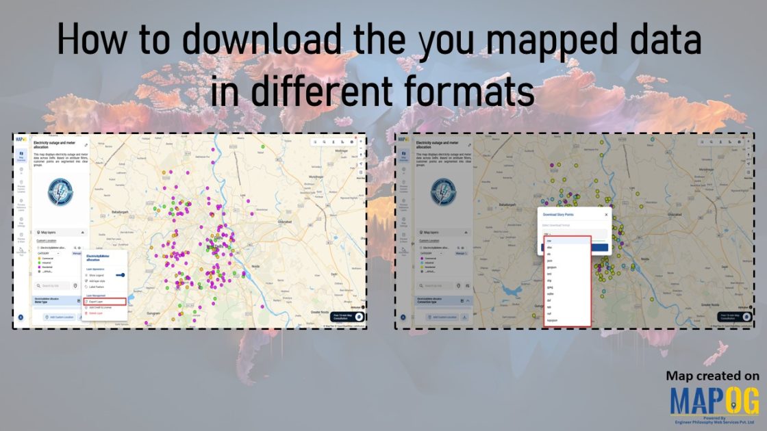
Interface showing how to download the you mapped data in different formats and different ways.

How to download the you mapped data in different formats

In geospatial projects, one of the biggest hurdles is data lock‑in. Often, mapping platforms restrict downloads to limited formats, forcing teams to spend extra time converting files or risking the loss of important attributes. Consequently, collaboration slows and efficiency drops. MAPOG addresses this challenge by making it simple to download mapped data in a format … Read more