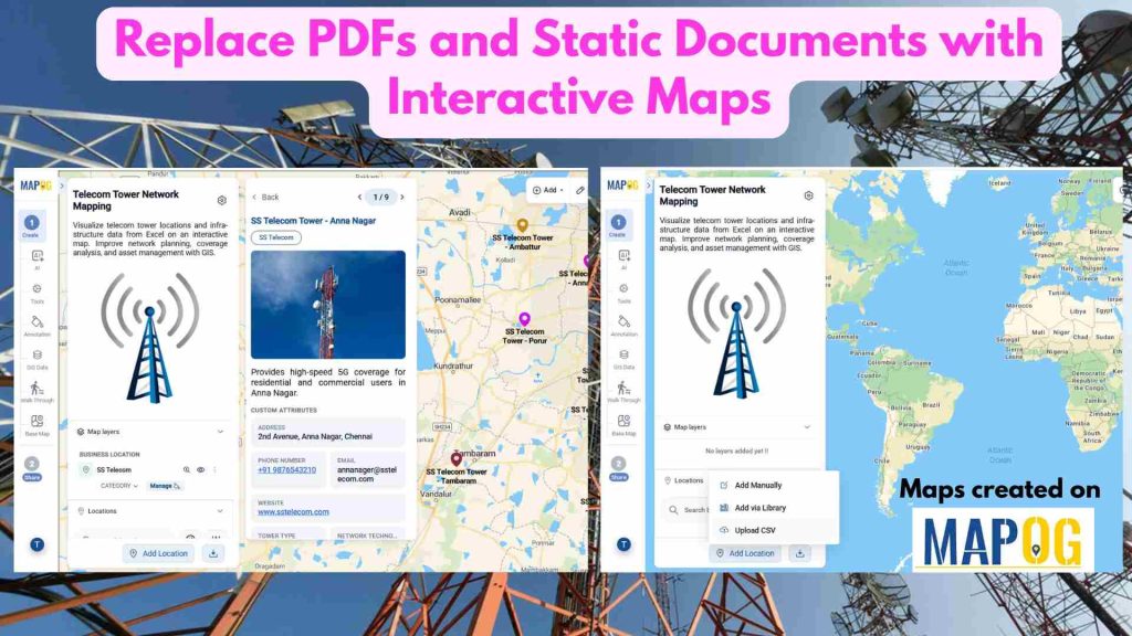
Replace PDFs and Static Documents with Interactive Maps
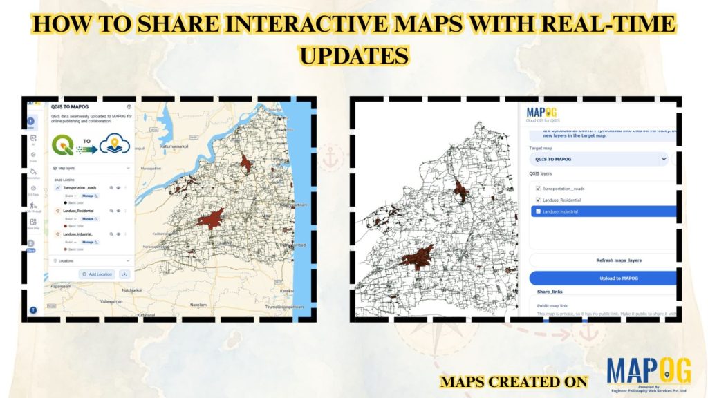
How to Publish QGIS Maps Online Using the MAPOG Plugin
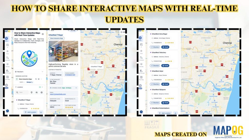
How to Share Interactive Maps with Real-Time Updates
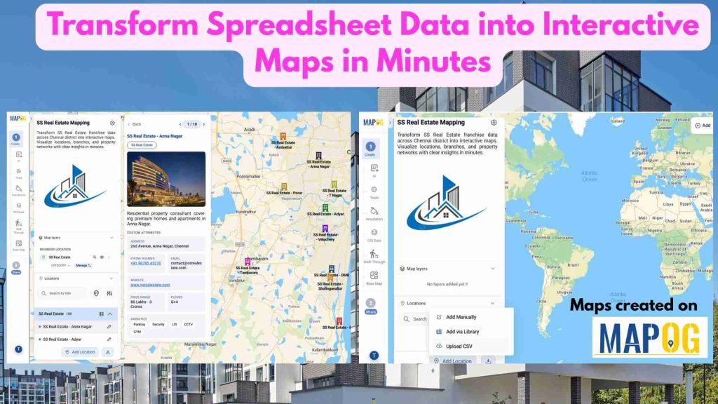
Transform Spreadsheet Data into Interactive Maps in Minutes
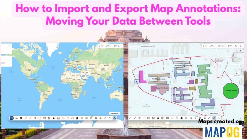
How to Import and Export Map Annotations: Moving Your Data Between Tools
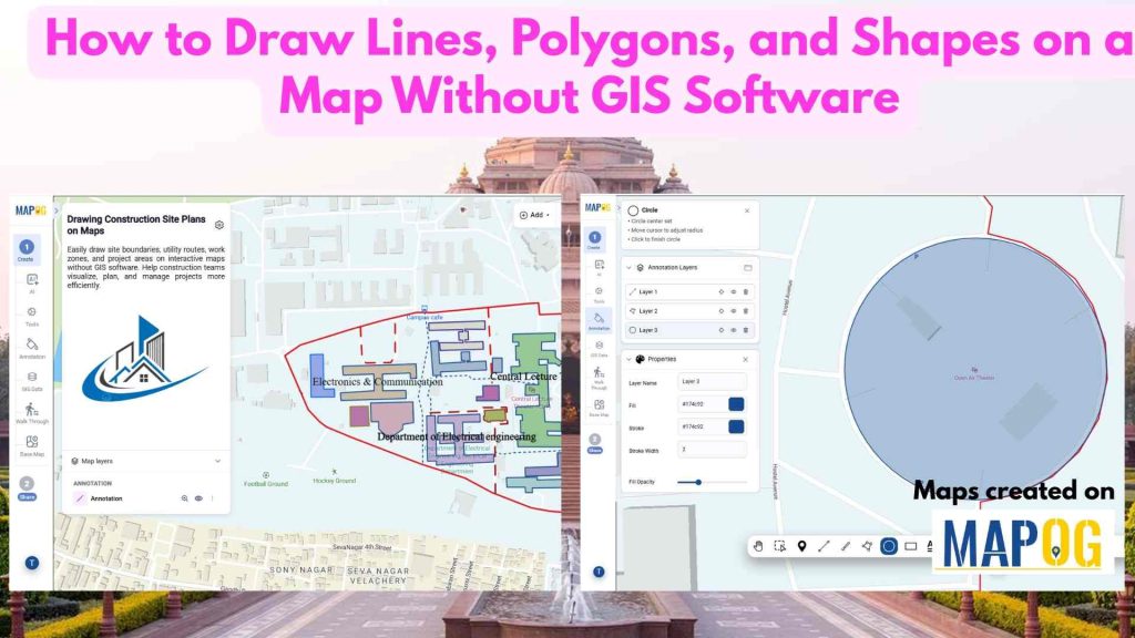
How to Draw Lines, Polygons, and Shapes on a Map Without GIS Software
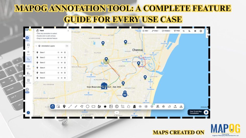
MAPOG Annotation Tool: A Complete Feature Guide for Every Use Case