#Urban_Planning

How to Map EV Charging Stations Using GIS: A Step-by-Step Guide

Mapping EV charging stations is a crucial step for planners aiming to develop smart, data-driven electric vehicle infrastructure. As electric mobility accelerates, GIS platforms like MAPOG enable users to visualize charging station locations clearly, identify gaps in coverage, and prioritize investments. Consequently, using modern web-based mapping tools, planners and analysts transform spreadsheets into actionable maps—showing … Read more

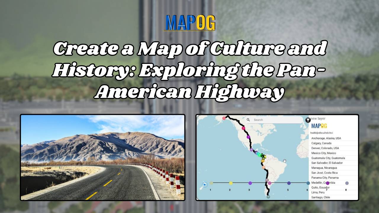
Create a Map of Culture and History Exploring the Pan-American Highway

Create a Map of Culture and History: Exploring the Pan-American Highway

The Pan-American Highway, spanning from Alaska to Argentina, is the world’s longest road, linking 14 countries and numerous cities across North, Central, and South America. Mapping Culture and Historical Perspectives along the Pan-American Highway, This iconic route is not just a transportation corridor but a cultural and historical tapestry that weaves through the diverse landscapes … Read more