How to Use GIS Mapping for Solar Development: A Step-by-Step Guide to Smart Site Selection
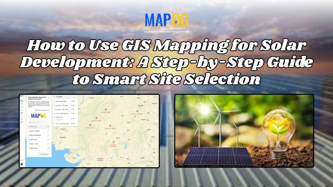
Planning utility-scale Solar Site Suitability Mapping projects with MAPOG involves overlaying layers like GHI, land parcels, flood zones, and transmission lines. Spatial filters quickly eliminate unsuitable areas, helping prioritize sites that are both high in solar potential and accessible to the grid streamlining smart, data-driven solar development. Key Concept: Solar Site Suitability Mapping While many … Read more