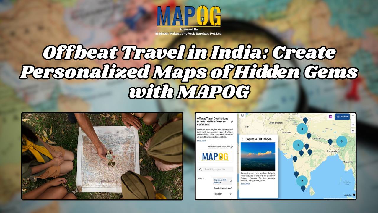
MAPOG

How to Create Energy Maps for Unpowered Settlements Step-by-Step Guide to Identifying Energy Gaps

How to Create Energy Maps for Unpowered Settlements: Step-by-Step Guide to Identifying Energy Gaps

In an era where energy plays a pivotal role in shaping the economic and social landscapes, equitable distribution of power is paramount. “Creating Energy Maps: Unpowered Settlements”, This article delves into the realm of MAPOG Map Analysis to identify potential energy deserts—areas where settlements lack the crucial infrastructure of energy power lines or towers. By … Read more

Create Map for Coastal Erosion Assessment High-Risk Zones and Mitigation Strategies

Create Map for Coastal Erosion Assessment: High-Risk Zones and Mitigation Strategies

Coastal erosion poses a significant threat to coastal regions, jeopardizing not only the natural beauty of beaches but also the structural integrity of sea walls essential for coastal protection. In response to this challenge, MAPOG undertakes a comprehensive mapping initiative for coastal erosion assessment and mitigation. This article explores how MAPOG delineates erosion-prone areas along … Read more

How to Map and Address Flood Risks Along Rivers: A Complete Guide

Welcome to MAPOG, where we address flood risks with innovative solutions along the Rivers. This example demonstrates how MAPOG‘s tools can map and analyze flood risks, providing valuable insights for strategic planning. Join us as we navigate through this use case, showcasing MAPOG‘s capabilities in mapping and addressing flood risks. Key Concept Within this key … Read more

Navigating Mining Area Safety with Route Compass

Navigating Mining Area Safety with Route Compass

MAPOG‘S Navigating Mining Area Safety with Route Compass utilizes virtual reality technology to ensure site safety in traditional mining operations areas. This innovative technology creates an artificial environment, safeguarding people and equipment, and facilitating regulation observance. Immerse yourself in the dynamic landscapes of urban planning through “GIS Analysis in Urban Planning: Reshaping Transportation Future Insights … Read more