#IsochroneAnalysis

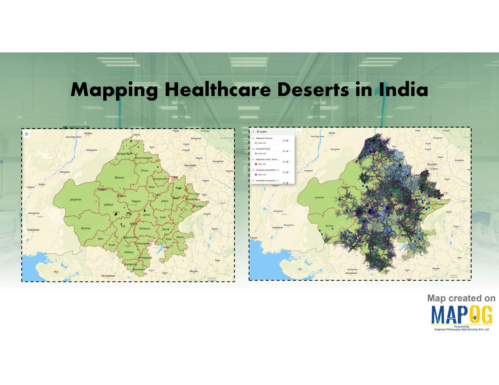
Mapping Healthcare Deserts in India

Identifying Areas with Limited Access to Doctors and Medical Facilities Mapping healthcare deserts in India helps expose one of the biggest barriers to healthcare access: geography. Although access to healthcare is a fundamental right, how soon someone can reach a hospital often depends more on location than need. Healthcare desert mapping—regions where timely access to … Read more
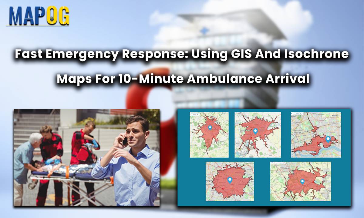
Fast Emergency Response: Using GIS and Isochrone Maps for 10-Minute Ambulance Arrival

Fast Emergency Response: Using GIS and Isochrone Maps for 10-Minute Ambulance Arrival

In a groundbreaking move for public safety, the Ambulance Plotting System has been introduced in Great Britain. Integrated within the MAPOG framework, this innovative system guarantees a life-saving presence within a mere 10 minutes at fatal accident sites. By swiftly coordinating emergency responses, it aims to significantly reduce fatalities and enhance overall patient outcomes. This … Read more