#InfrastructureMapping

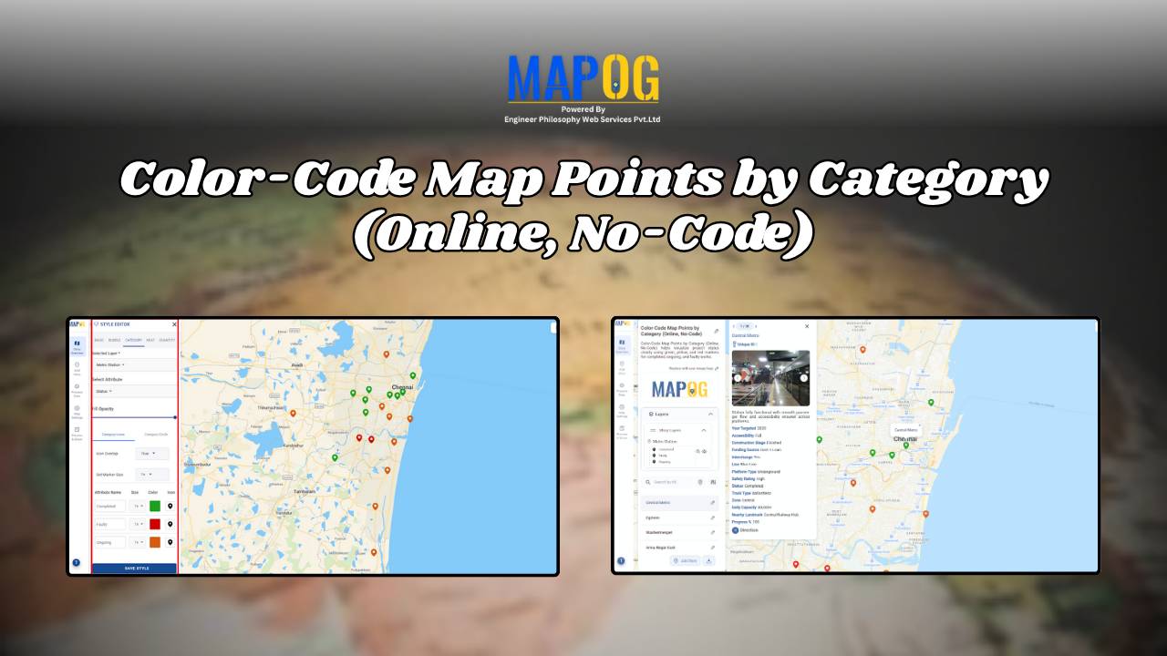
Color-Code Map Points by Category (Online, No-Code)

Color-Code Map Points by Category (Online, No-Code)

To begin with, Color-Code Map Points is a simple yet powerful way to transform raw data into clear, visual insights. Moreover, this approach enables governments, planners, and communities to classify projects, services, or assets into instantly understandable categories on a single interactive map. As a result, we can instantly track and visualize metro stations in … Read more
GIS in Infrastructure Development and Road Network Analysis

GIS in Infrastructure Development and Road Network Analysis

GIS (Geographic Information Systems) plays a transformative role in the Road Network Analysis development and analysis of infrastructure, particularly in designing and optimizing road networks. By integrating spatial data with planning tools, GIS enables engineers, urban planners, and policymakers to make data-driven decisions. It supports the entire infrastructure lifecycle—from feasibility studies and planning to construction … Read more