GIS Mapping

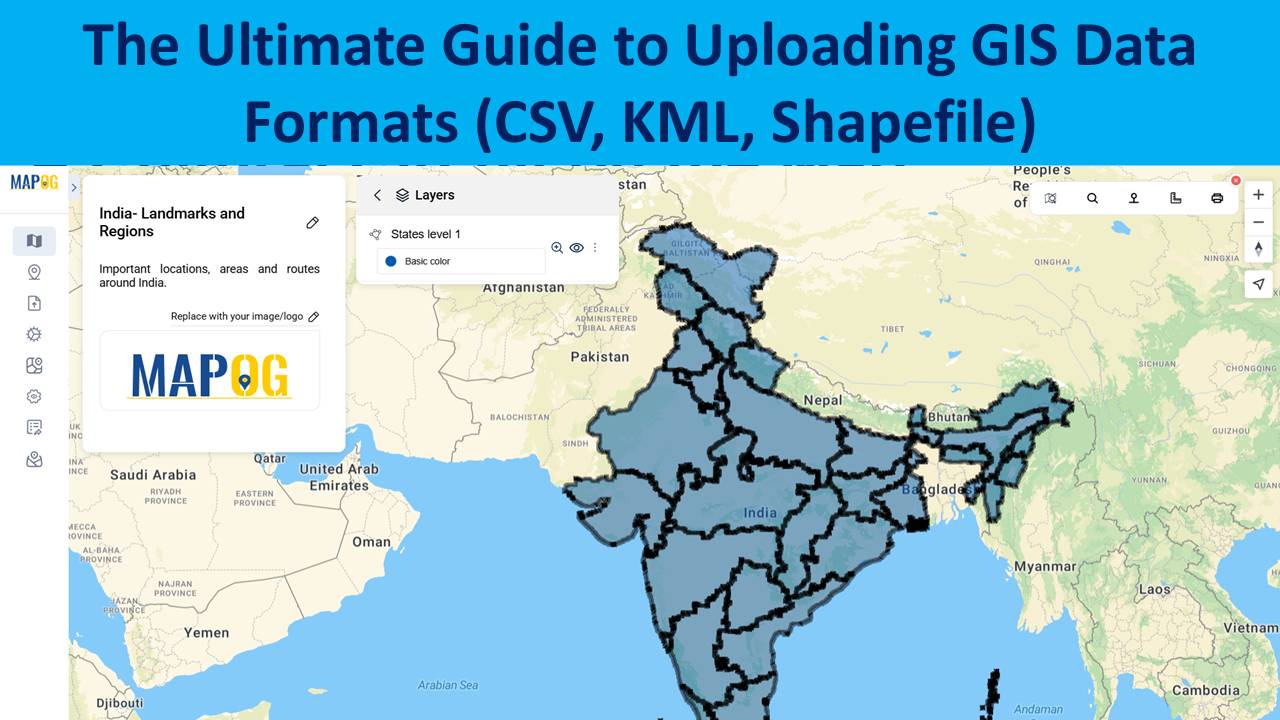
The Ultimate Guide to Uploading GIS Data Formats (CSV, KML, Shapefile)

Uploading GIS data is the crucial first step in any spatial analysis workflow. Whether for urban planning, environment, infrastructure, or disaster response, clean and structured data ensures accuracy in representing real-world features and relationships. Using correct formats allows mapping software to interpret boundaries and attributes effectively. MAPOG, a leading cloud-based GIS platform, supports various formats … Read more
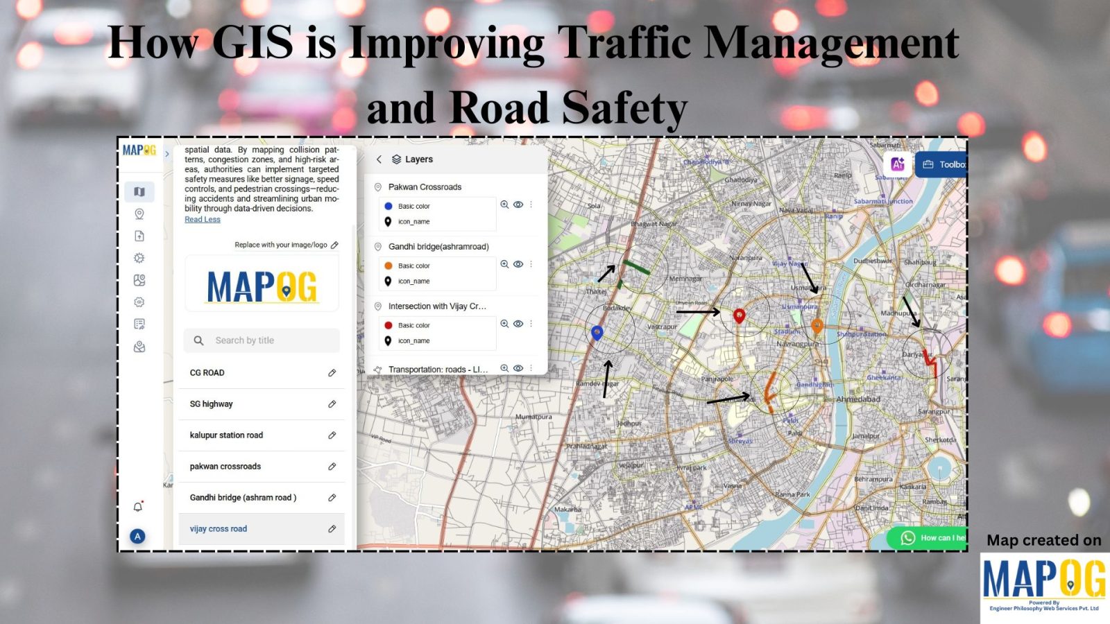
How GIS is Improving Traffic Management and Road Safety  

Traffic congestion and road accidents are major challenges in urban areas, leading to economic losses, increased pollution, and safety risks. As a result, Geographic Information Systems (GIS) have emerged as a powerful tool for analyzing, visualizing, and optimizing traffic flow while enhancing road safety. As a result of integrating spatial data, traffic authorities can identify … Read more

GIS Mapping in Real Estate: Power Station Analysis and Strategic Site Selection

In the ever-evolving realm of real estate development, leveraging the capabilities of Geographic Information System (GIS) mapping has become indispensable. This article explores the particular domain of power station analysis and site selection, highlighting the significant role that GIS tools, particularly the MAPOG, play in offering vital insights for well-informed decision-making. The examination centers on … Read more