#FloodRiskMapping

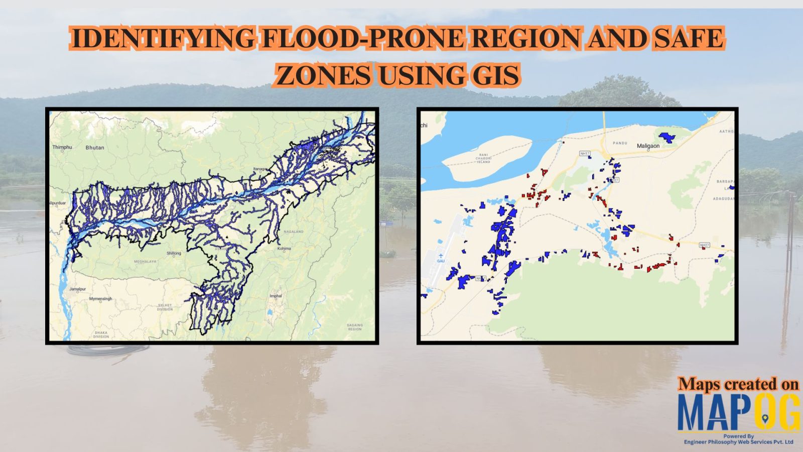
Identifying Flood Prone region and Safe Zones using GIS

How to Use GIS to Identify Flood-Prone Areas and Map Safe Zones using buffer analysi

Identifying Flood Prone region near rivers is vital for disaster preparedness. Using GIS buffer analysis, a 1 km zone around rivers highlights vulnerable settlements, enabling rapid flood-risk estimation, mapping of exposed regions, and informed mitigation planning without complex hydrological modeling. So users can build interactive flood risk maps by integrating river data, and key land-use … Read more
Flood Risk Mapping with Interactive Web Maps: A SaaS Platform Approach

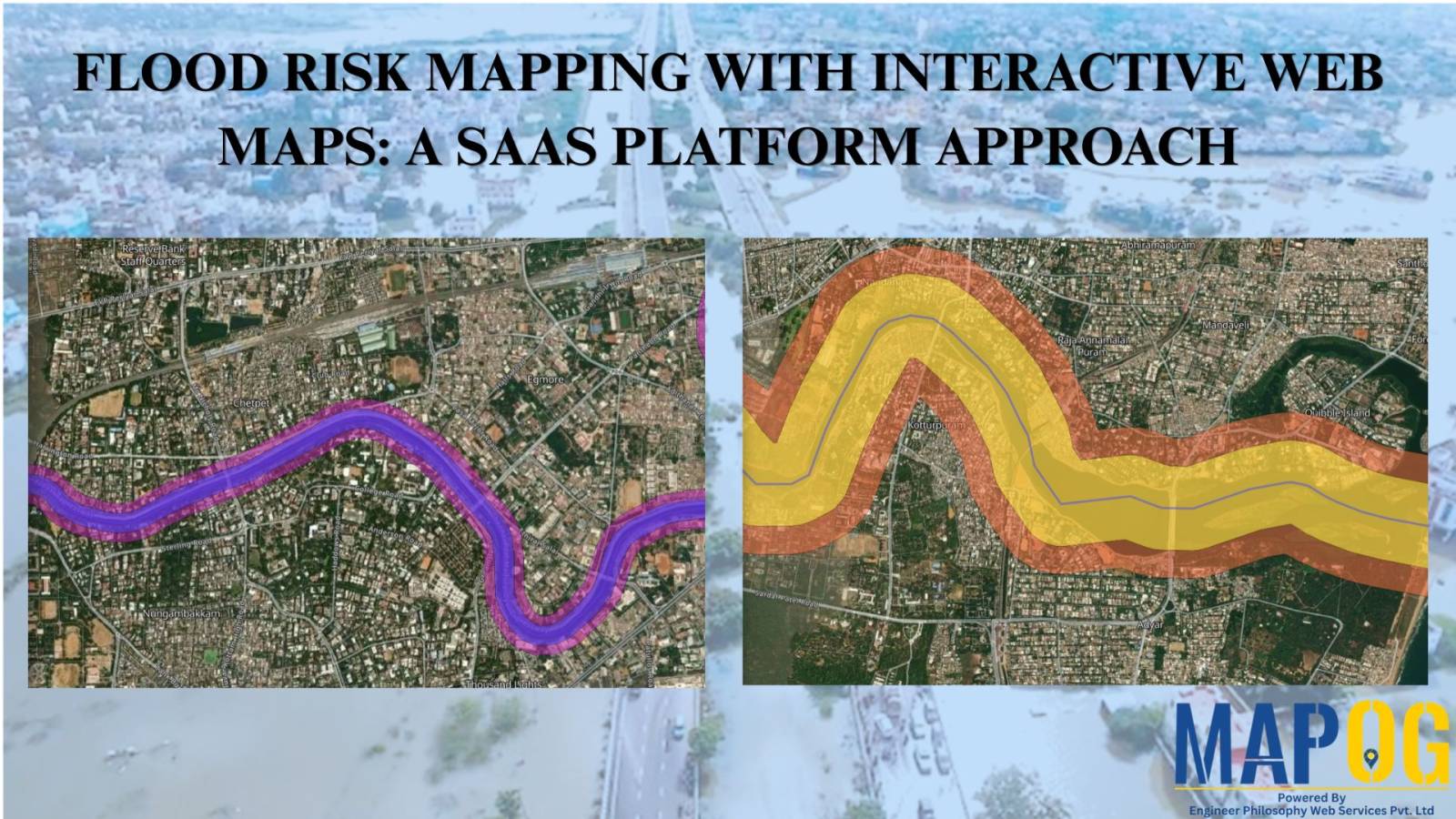
Flood Risk Mapping with Interactive Web Maps: SaaS Approach

A SaaS-based flood risk mapping platform leverages interactive web maps to provide risk assessments. Using GIS, AI, and hydrological data, it enables governments, insurers, and communities to visualize flood-prone areas, enhance preparedness, and optimize response strategies. Cloud-based accessibility ensures scalability, data integration, and seamless user collaboration for proactive risk management. Key Concept How Flood Risk … Read more