In today’s fast-paced, location-driven world, knowing exactly where things are in relation to you is essential. Whether it’s finding the nearest hospital during an emergency, locating a petrol pump while traveling, or discovering nearby restaurants and stores, thus being able to sort map locations by distance from your current location can save significant time and effort. This functionality isn’t just convenient; it’s a powerful decision-making tool for individuals, planners, and businesses alike.
With MAPOG, sorting locations by distance has become easier, more accurate, and interactive. By leveraging geospatial data, these tools allow users to instantly calculate distances, prioritize nearby points of interest, and make informed choices about travel, logistics, or service accessibility.
Key Concepts in Sorting Locations
The Sort by Current Location tool in MAPOG automatically arranges locations based on how close they are to the user. It helps users quickly find the nearest hospitals, fuel stations, or essential services without guesswork. In urban planning, it supports accessibility analysis, therefore enabling planners to design cities with better service reach. Businesses can use it to direct customers to the nearest outlet or optimize delivery routes, etc.
For example, imagine you’ve created a map of hospitals, markets, and fuel stations around your town. With the Sort by Current Location tool, MAPOG will automatically reorder these points so that the nearest facilities appear first. This is especially useful for finding the nearest hospital, petrol pump, or store when needed quickly.
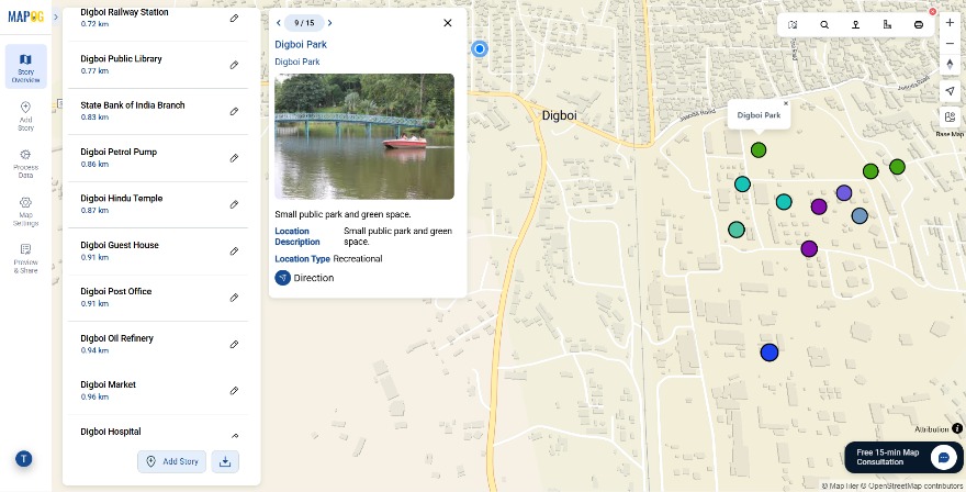
How to Sort Map Locations by Distance
Sort by Current Location
To sort by Current Location on MAPOG and create the map by adding various locations and points.
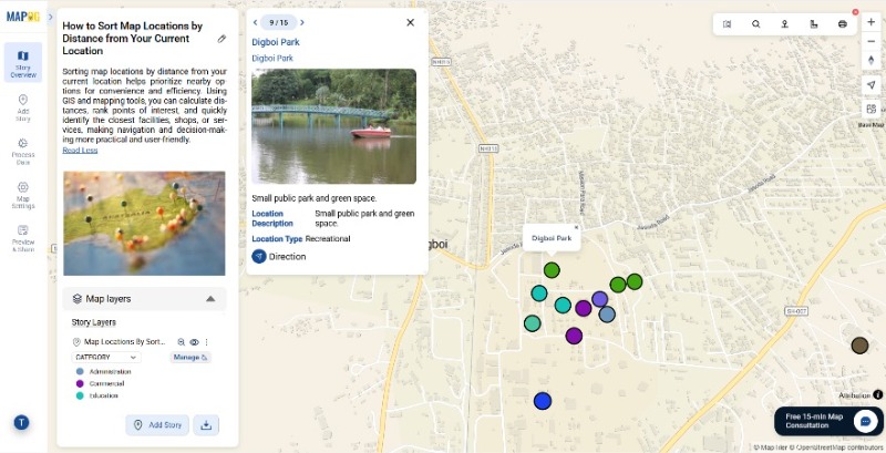
Now click on the sort location feature. There are two tools to sort locations one is Sort Location by another location that you have entered or searched and based on that location the pins will be sorted according to their distances.
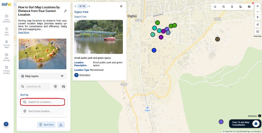
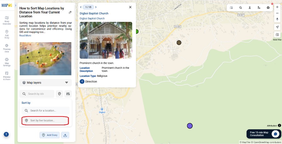
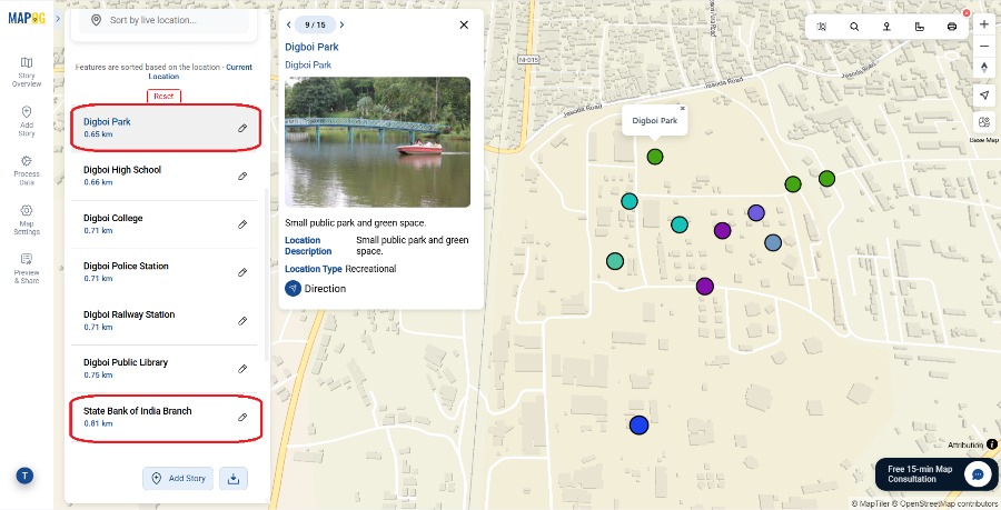
Another is the Sort by Live Location which uses the Location of the device to sort the locations, once all the Points are added click on the Sort by Current of Live Location feature in MAPOG to sort the points or locations according to their distance in an ascending order or range.
After the points are entered, add a location from the search tab in the drop down menu or use the live location feature to sort the points. Entering the locations provides a harness point and MAPOG calculates the distance from the given locations and sorts it according the shortest distance to the farthest ones makes travel planning and itinerary creation easy and effective. Lastly, click on “Reset” to remove the sort distance.
Applications of sorting locations by distance on a map
Sorting locations by distance is useful in a wide range of contexts:
- Urban Planning: city authorities can analyze gaps in public services, such as schools, hospitals, or parks.
- Emergency Services: responders can identify nearest hospitals, fire stations, or police stations during critical situations.
- Logistics & Delivery: Delivery companies can thus prioritize nearest clients for efficient routing.
- Tourism & Travel: travellers can find nearby attractions, accommodations, or amenities quickly.
Conclusion
Sorting map locations by distance from your current location transforms raw geospatial data into actionable insights. With MAPOG, users can calculate distances accurately, prioritize nearby points, and make better decisions for travel, planning, or business operations. By visualizing distances on a map with clear markers, color-coded categories, or interactive polygons, you turn static location data into a dynamic, practical tool.
Have you tried sorting locations by distance in your area?
Follow this article for more related steps prior to location sorting : Fire Station Mapping: How GIS Fire Safety Maps Improve Emergency Response & Community Safety
More from MAPOG: