Military Aerial Route Planning

Mapping Military Flight Paths

Mapping Military Flight Paths: How GIS Helps Calculate Distance and Bearing Angles

Mapping Military Flight Paths is a crucial component in modern aerial defense planning. With the continuous rise of geographic intelligence, GIS technology now plays a central role in not only plotting accurate coordinates but also in calculating distances and determining precise bearing angles. This process, therefore, goes far beyond simply drawing lines on a map—it … Read more
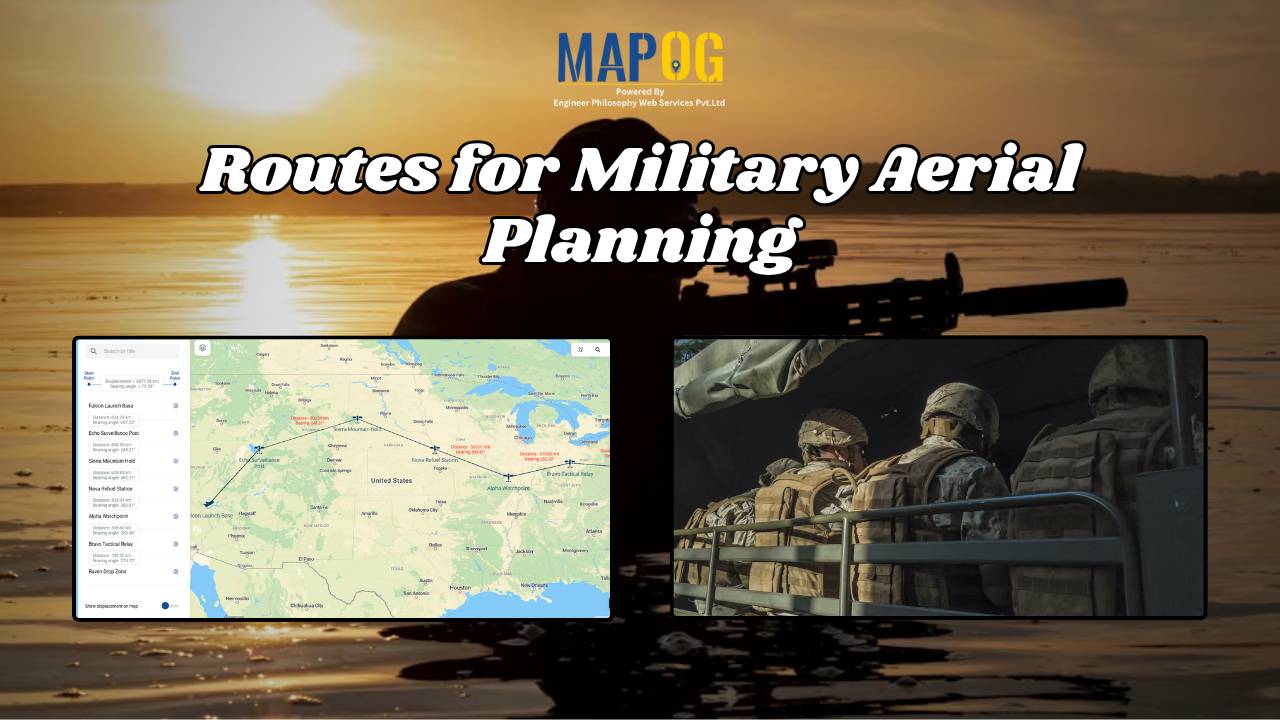
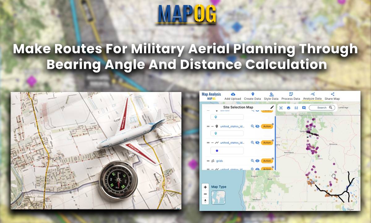
Make Routes for Military Aerial Planning - Through Bearing angle and Distance calculation

Make Routes for Military Aerial Planning- Through Bearing angle and Distance calculation – Online Route Compass

Introduction In this military aerial route planning analysis, we employ the MAPOG route compass to navigate the strategic journey from one  Air Force Station to another Air Base. This tactical approach ensures efficient and effective planning for aerial movements in the specified region. Key Concept The key concept underlying this military aerial route planning analysis … Read more