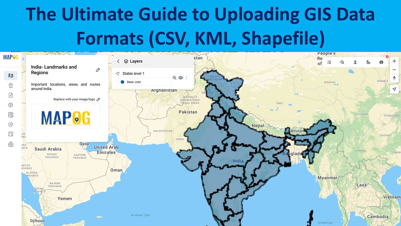
The Ultimate Guide to Uploading GIS Data Formats (CSV, KML, Shapefile)
Uploading GIS data is the crucial first step in any spatial analysis workflow. Whether for urban planning, environment, infrastructure, or disaster response, clean and structured data ensures accuracy in representing real-world features and relationships. Using correct formats allows mapping software to interpret boundaries and attributes effectively. MAPOG, a leading cloud-based GIS platform, supports various formats … Read more
