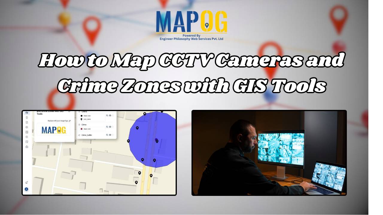
How to Map CCTV Cameras and Crime Zones with GIS Tools
In today’s fast-evolving urban landscape, public safety has become a top priority for city planners and law enforcement agencies. One of the most effective ways to enhance security is through the strategic placement of CCTV cameras — and this is where Geographic Information System (GIS) tools play a transformative role. By mapping surveillance infrastructure alongside … Read more