#FloodRiskAssessment

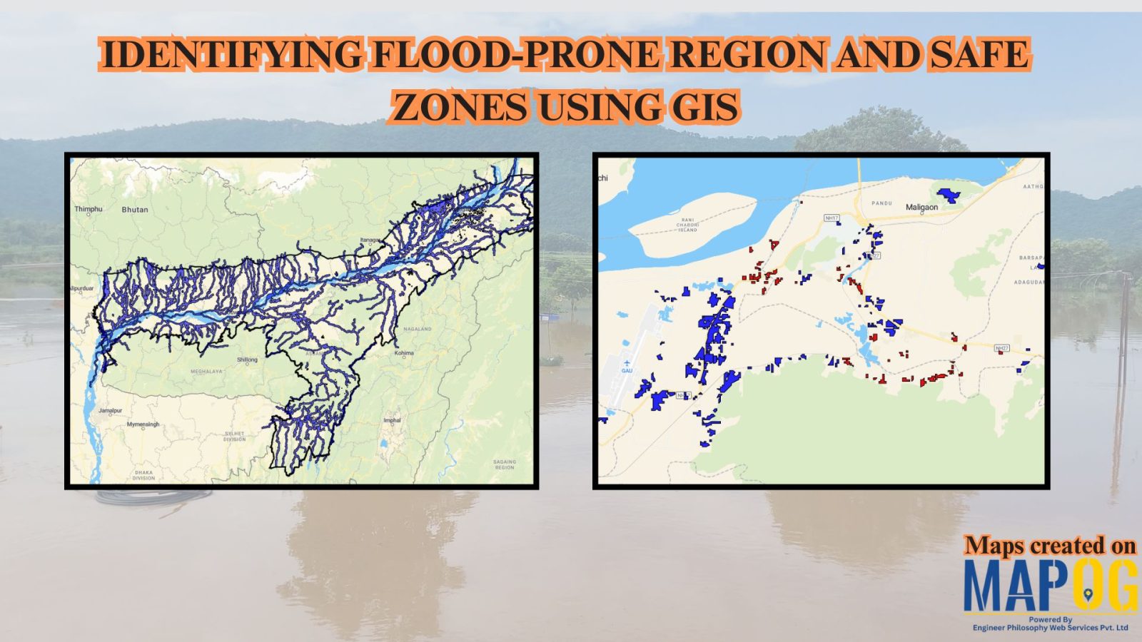
Identifying Flood Prone region and Safe Zones using GIS

How to Use GIS to Identify Flood-Prone Areas and Map Safe Zones using buffer analysi

Identifying Flood Prone region near rivers is vital for disaster preparedness. Using GIS buffer analysis, a 1 km zone around rivers highlights vulnerable settlements, enabling rapid flood-risk estimation, mapping of exposed regions, and informed mitigation planning without complex hydrological modeling. So users can build interactive flood risk maps by integrating river data, and key land-use … Read more
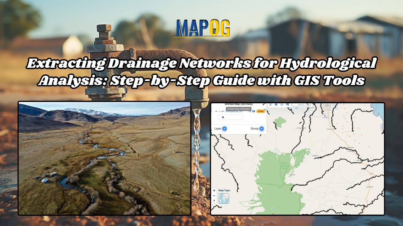
Extracting Drainage Networks for Hydrological Analysis: Step-by-Step Guide with GIS Tools

Understanding water flow patterns is crucial in hydrological analysis, and extracting drainage networks accurately is key to this endeavor. This article is all about Extracting and Creating Drainage Network Maps for Hydrological Analysis. With the additional support of MAP OG’s MAP ANALYSIS tool, users gain enhanced insights and efficient mapping solutions. Let’s explore this essential … Read more