field data

How Field Teams Can Capture and Submit On-Site Data with Offline Sync Using Mobile Devices
How Field Teams Can Capture and Submit On-Site Data with Offline Sync Using Mobile Devices

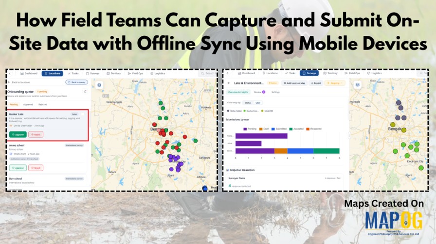
Field data collection rarely goes as planned—especially in areas with poor connectivity. Teams often rely on paper notes, scattered photos, or delayed updates, which leads to errors and messy datasets. This is where MAPOG makes a difference. With an offline-first approach, field teams can capture on-site data with offline sync, fill surveys, attach photos, and … Read more

How to Review and Approve Location-Based Field Data Submitted by Field Teams
How to Review and Approve Location-Based Field Data Submitted by Field Teams

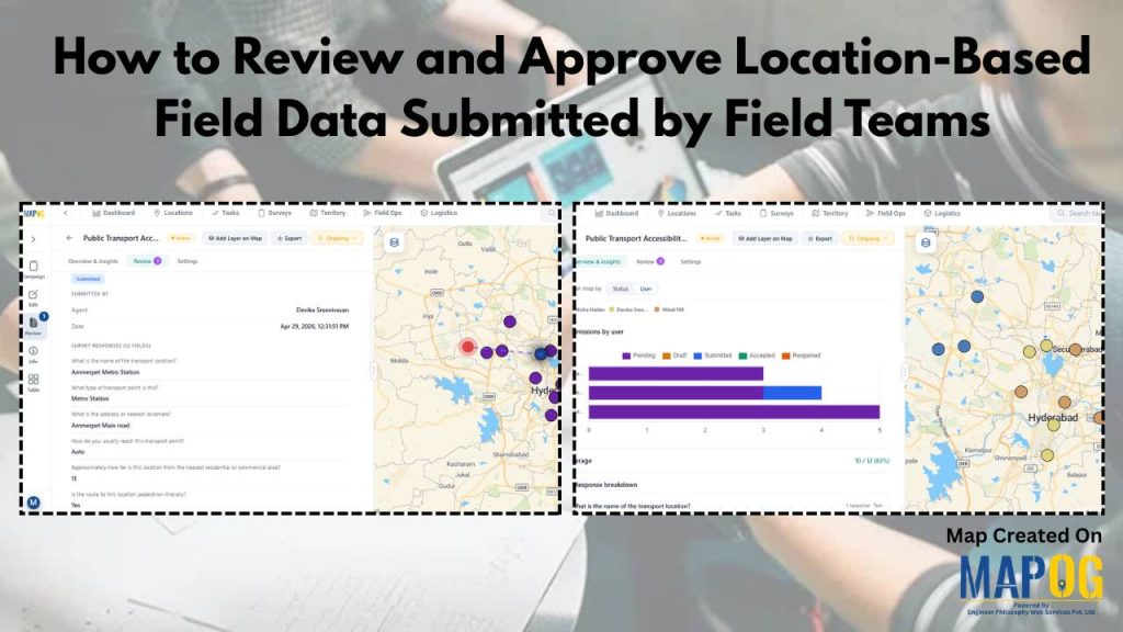
Location based field data is essential across industries, but reviewing and approving it is often a major challenge. Teams deal with inconsistent formats, scattered data, and slow validation processes, making it hard to ensure accuracy and take timely decisions. MAPOG solves this by centralizing location based field data on an interactive map and enabling structured … Read more

Collect Location-Based Field Data

How to Collect Location-Based Field Data on a Map Using a Mobile Data Collection App
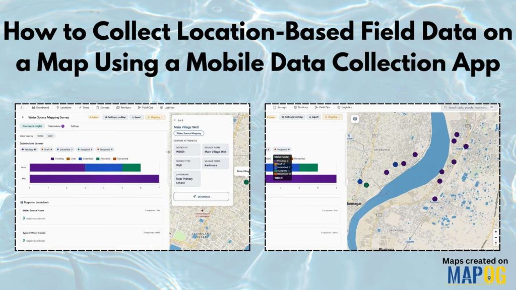
Collect Location-Based Field Data face many challenges due to reliance on paper records and delayed updates, leading to errors in water source mapping and village development projects. The MAPOG Survey and MAPOG Contributor mobile app address these issues by enabling real-time data collection on live maps, improving accuracy and decision-making. With MAPOG, teams can assign … Read more

Capture inspection photos and notes from on site location

Capture Inspection Photos and Notes from On-Site Location
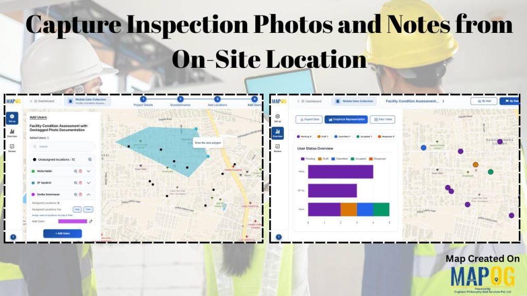
Across sectors that rely on regular site checks—such as property management, facility maintenance, construction, and infrastructure monitoring—teams often capture inspection photos and notes using phones, paper records, or scattered messages, which leads to missing records, unclear locations, and reporting delays. With MAPOG’s mobile data collection, inspections are linked to precise locations. Field teams capture geotagged … Read more

Cover image

How to Combine All Customer Data from the Field Into One Clean Map
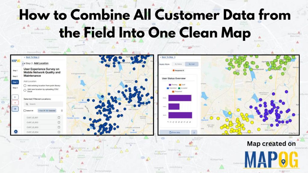
To combine all the customer data from the field is a common challenge for organizations. Teams collect location details, service feedback, and on-site observations through a mix of mobile apps, paper forms, and spreadsheets, but this mix of formats often leaves the data scattered and hard to interpret.  A unified map solves this problem by … Read more

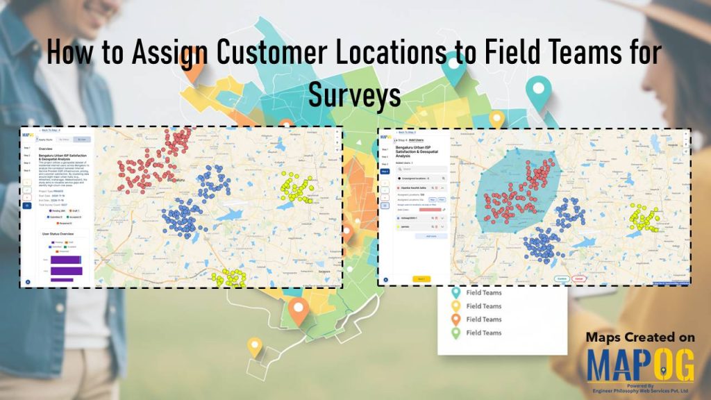
Cover image with article title and MAPOG screenshots showing customer location assignments to field teams.

How to Assign Customer Locations to Field Teams for Surveys

Efficient field surveys start with a clear plan, so you need a simple and accurate way to assign customer locations to field teams. When each member knows where to go, your operations move faster, data quality improves, and field time decreases. This structured approach strengthens tracking, balances workloads, and improves coverage. You can manage all … Read more