Create an Age Demographics Map: Visualizing Spatial Patterns in Population Dynamics
Explore population dynamics with a demographics map. Use spatial analysis to uncover insights into community composition and trends.
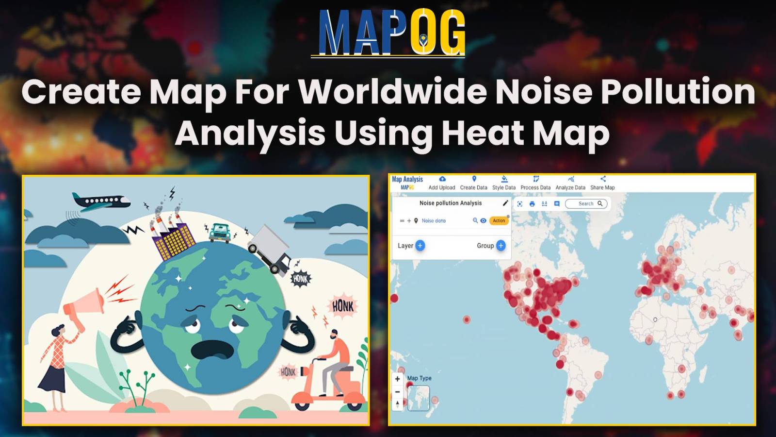
Unveiling Noise Pollution: Worldwide Analysis In MAPOG, let us converge our means available and join in the task of using both technology and natural awareness, so that we may initiate a move towards the future of sustainability, using the language of noise, so let´s decipher it with accuracy and clarity. Through MAPOG, we can discover … Read more
In energy infrastructure management, ensuring the safety and integrity of pipeline networks is very important. The influence of pipelines extends far beyond their physical footprint, encompassing the communities, ecosystems, and infrastructure that lie in their vicinity. Understanding and mitigating the potential risks of pipeline activities necessitate a holistic approach. In this article, we delve into … Read more
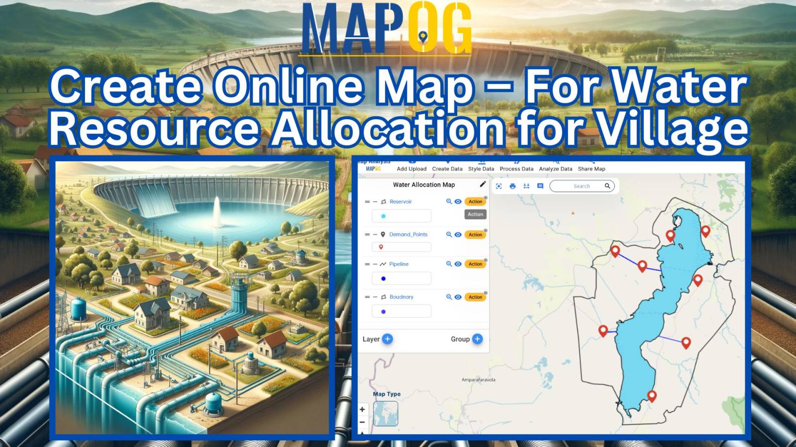
Water resource allocation maps offer a crucial solution to the challenge of uneven water distribution. This article explores their pivotal role in promoting fairness, sustainability, and resilience in communities. With insights from MAPOG Map Analysis, we unveil how these maps are transforming the water management landscape. KEY CONCEPTS Our goal is to create a map … Read more
Mapping locations through addresses using the Geocoder tool is a game-changer in the field of Geographic Information Systems (GIS). MAPOG Map Analysis leverages this technology to convert addresses into precise geographic coordinates, enhancing accuracy in urban planning, navigation, and emergency services. Discover how MAPOG’s powerful Geocoder tool can transform your mapping projects. KEY CONCEPTS Our … Read more
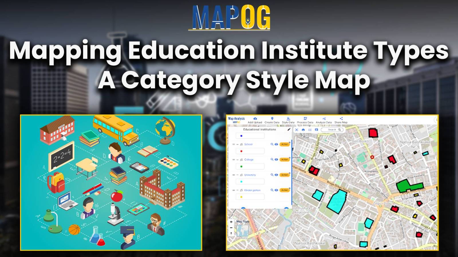
In the realm of spatial analysis, understanding the distribution and types of educational institutions is paramount for effective planning and decision-making. With the advent of advanced GIS platforms, such as MAPOG, utilizing tools like proximity analysis has become instrumental in categorizing educational institutions with precision and efficiency. This article delves into the key concept of … Read more
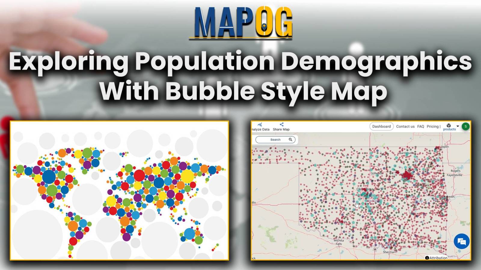
Bubble style mapping reveals population distribution patterns, aiding decision-making in urban planning, market research, and public health.
The Point to polygon tool is used to build a polygon that represents the smallest region or area that encloses a set of points. The Point to Polygon tool essentially converts point data, representing specific locations, into polygonal shapes. These polygons serve as a visual representation of the distribution or extent of any phenomenon under … Read more
Rivers are incredibly important for our world. They shape the land, help plants and animals survive, and give us things we need to live. It’s really important to know all about rivers so we can take care of them properly. “Create a Category Style Map – Mapping Rivers in different Colors”, In this article, we’ll … Read more
Unlock the power of seamless spatial data management with MAPOG Map Analysis. In this article, discover how the Merge Polygon tool revolutionizes the process of combining polygons into a single layer. Streamline your map analysis workflow and unleash the full potential of your spatial data with MAPOG KEY CONCEPTS Our goal is to merge the … Read more