How to Create 3D Boundaries on Maps for Better Visualization
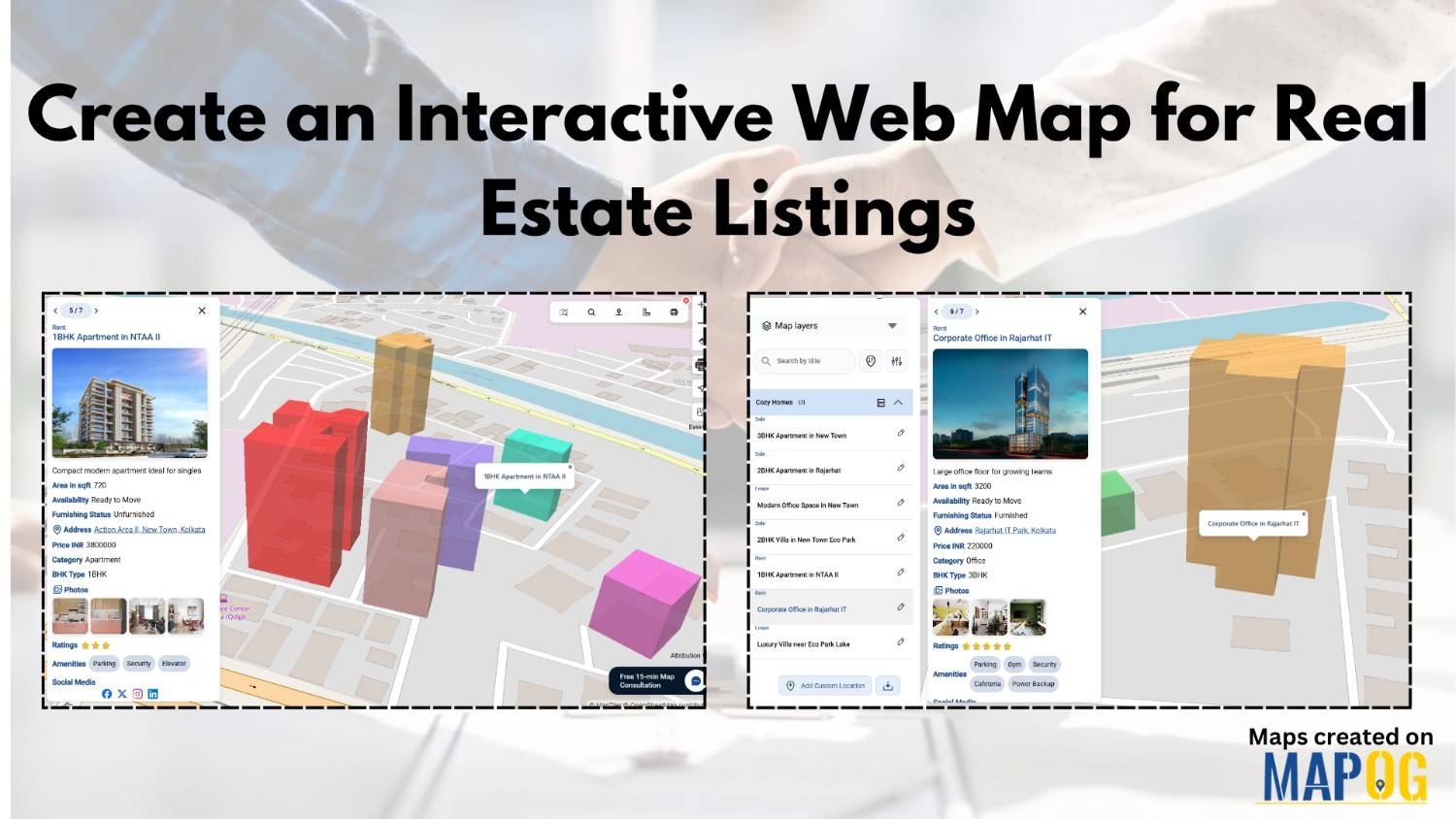
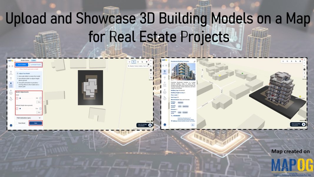
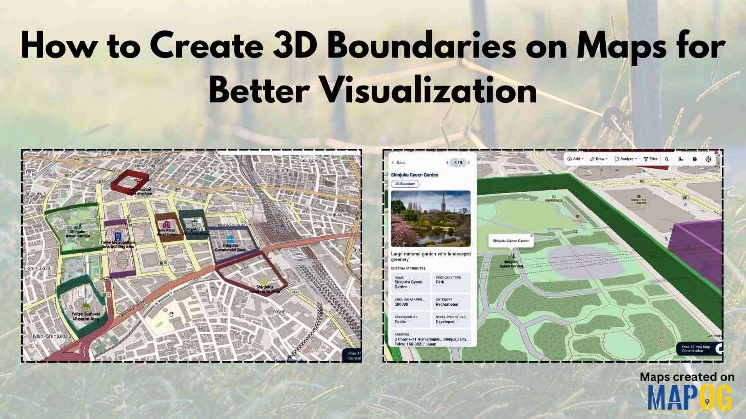
Interactive maps often look flat and difficult to interpret, especially when multiple business zones, campuses, tourist spots, or infrastructure projects are involved. As a result, many teams struggle to explain spatial boundaries clearly. However, when you Create 3D Boundaries on maps, locations become easier to understand, visually engaging, and far more interactive. MAPOG help solve … Read more