Interactive Mapping

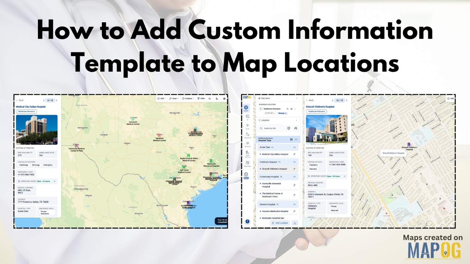
Custom Information Template

How to Add Custom Information Template to Map Locations

Managing location-based data is still a challenge for industries like healthcare, logistics, emergency response, and retail. Organizations often scatter data across spreadsheets, outdated records, and disconnected systems. As a result, teams struggle to update location details quickly or visualize important resources on a live map. However, MAPOG with custom information template is helping organizations create … Read more
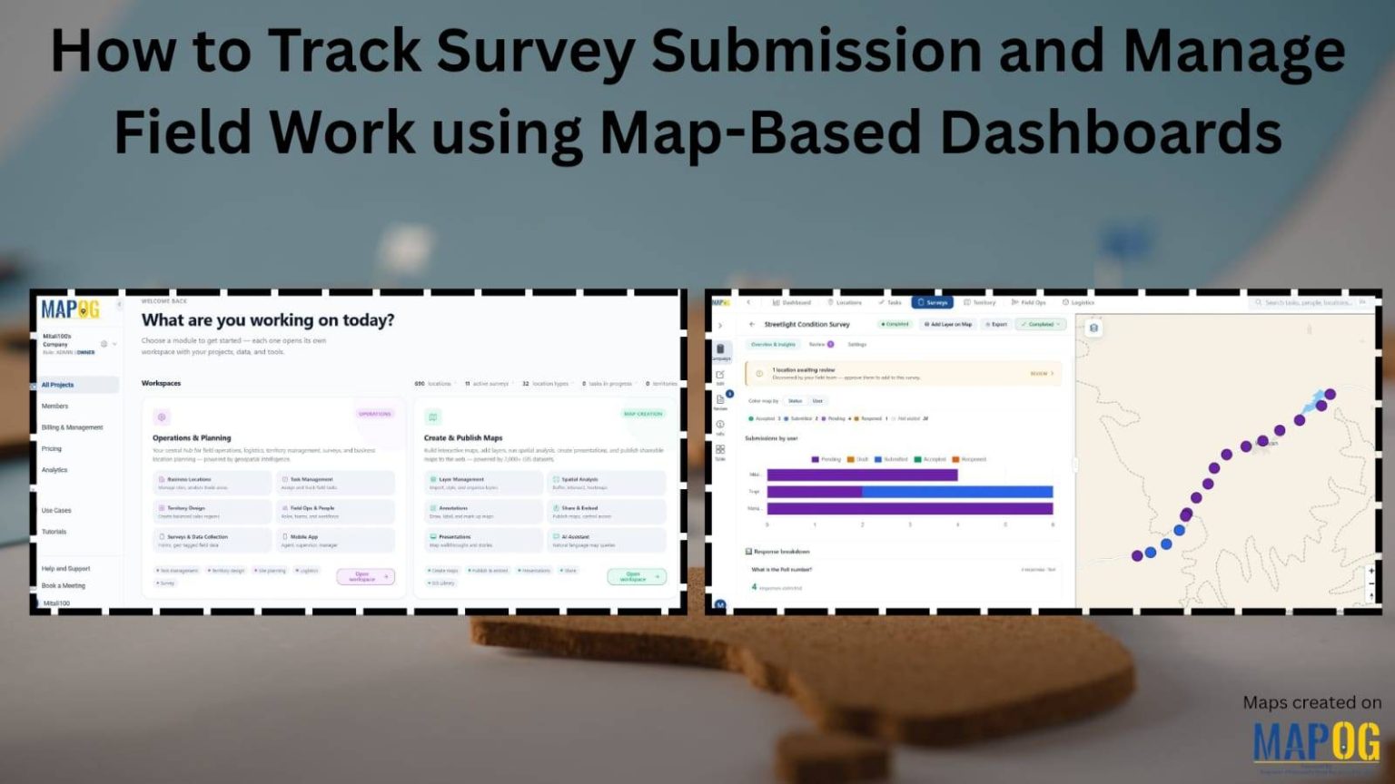
Track survey submissions

How to Track Survey Submissions and Manage Field Work Using Map-Based Dashboards

Managing field surveys across multiple locations can be challenging. However, MAPOG simplifies the process with a map-based dashboard that helps organizations launch campaigns, assign field tasks, collect responses, and monitor survey submissions in real time. Additionally, managers can track contributor activity, review survey submissions, and monitor survey submission progress directly from an interactive map. Furthermore, … Read more

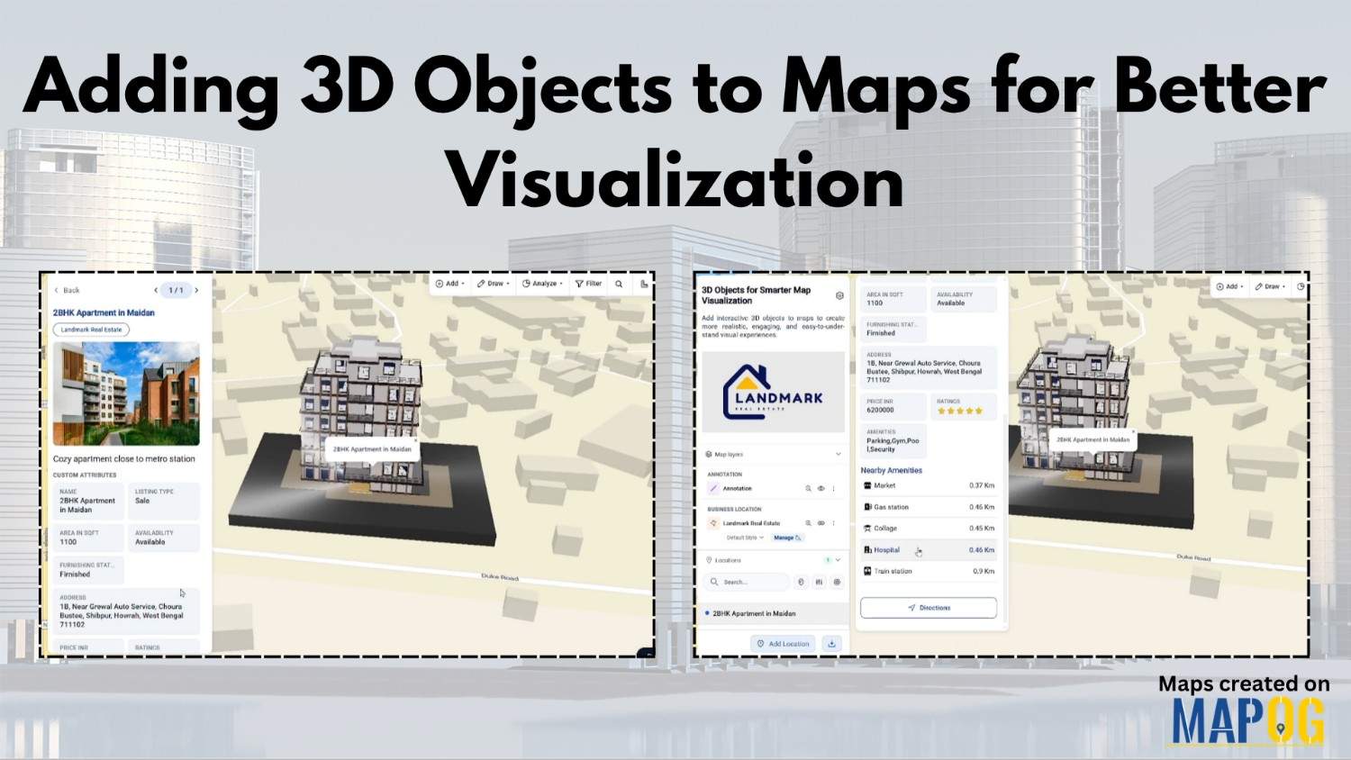
Adding 3D Objects

Adding 3D Objects to Maps for Better Visualization

Modern industries often struggle to present buildings, infrastructure, and location data in a way that feels realistic and easy to understand. Flat maps may display information, yet they usually fail to provide depth, scale, and spatial context. Because of this, architects, urban planners, tourism teams, and real estate businesses are now shifting toward Adding 3D … Read more

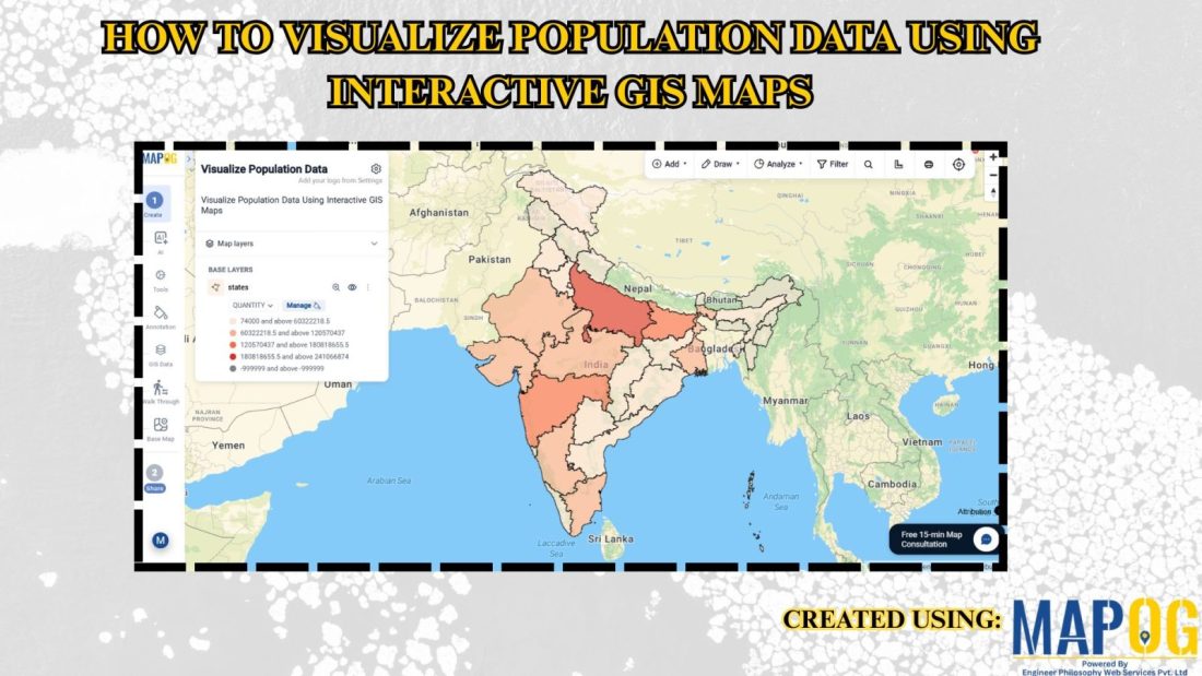
How to Visualize Population Data Using Interactive GIS Maps

How to Visualize Population Data Using Interactive GIS Maps

In population studies and urban planning projects, demographic data often stays limited to spreadsheets or reports, making it difficult to understand regional patterns and trends. Consequently, users struggle to identify population density, growth areas, or demographic distribution visually. MAPOG Visualize Population Data using interactive GIS maps. Key Concept: Why Use Interactive GIS Maps for Population … Read more

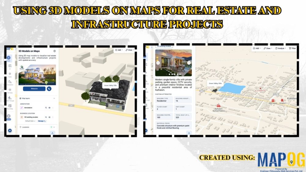
Using 3D Models on Maps for Real Estate and Infrastructure Projects

Using 3D Models on Maps for Real Estate and Infrastructure Projects

In real estate and infrastructure projects, 3D models often stay limited to design software or displays, making them difficult for clients to understand in real-world context. Consequently, they fail to show nearby roads, amenities, transport, or developments. MAPOG maps 3D models with location data. Key Concept – Why Use 3D Models on Maps Because maps … Read more

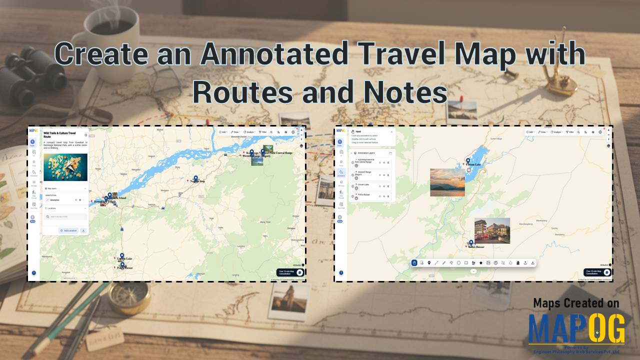
Create an Annotated Travel Map showing routes connecting locations with labels and images in a digital map interface

Create an Annotated Travel Map with Routes and Notes

To Create an Annotated Travel Map is to turn movement into meaning. Instead of static directions, you layer routes with insights, context, and memory. MAPOG elevates this workflow through precise annotation capabilities, so every path tells a story, not just a route. As a result, travelers, planners, and analysts move from “where” to “why it … Read more

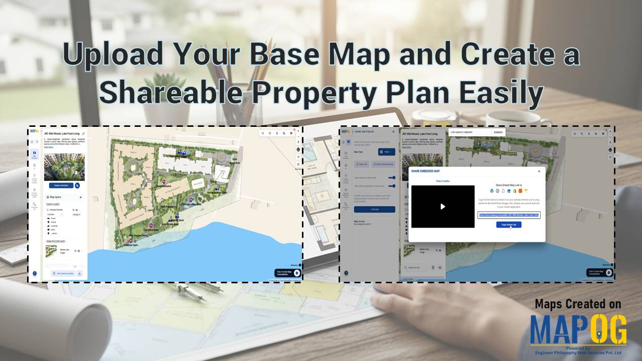
Upload Your Base Map to create a shareable property plan with MAPOG georeferencing and interactive layout tools

Upload Your Base Map and Create a Shareable Property Plan Easily

Static floor plans often confuse potential buyers because they lack real-world context. Brokers and developers struggle to convey a lifestyle when using a static PDF. Therefore, you should Upload Your Base Map and Create a Shareable Property Plan Easily to bridge this gap. By leveraging the MAPOG georeferencing capability, you transform a simple layout image … Read more

Plot Your Points on a Map and Add Details with Images

Plot Your Points on a Map and Add Details with Images

In today’s data-driven workflows, simply listing locations in spreadsheets is no longer enough. Teams need a visual and interactive way to understand, manage, and communicate location-based information effectively. Whether it’s for field surveys, asset tracking, or site inspections, relying on disconnected tools often leads to missing context and delayed decisions. With MAPOG, you can Plot … Read more

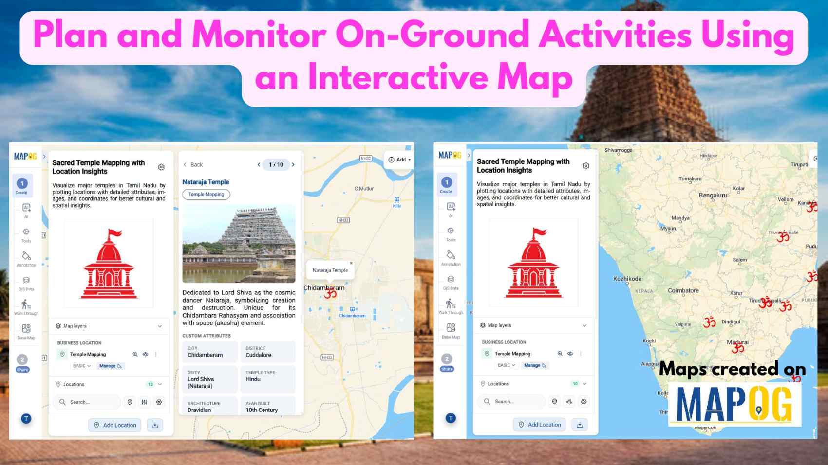
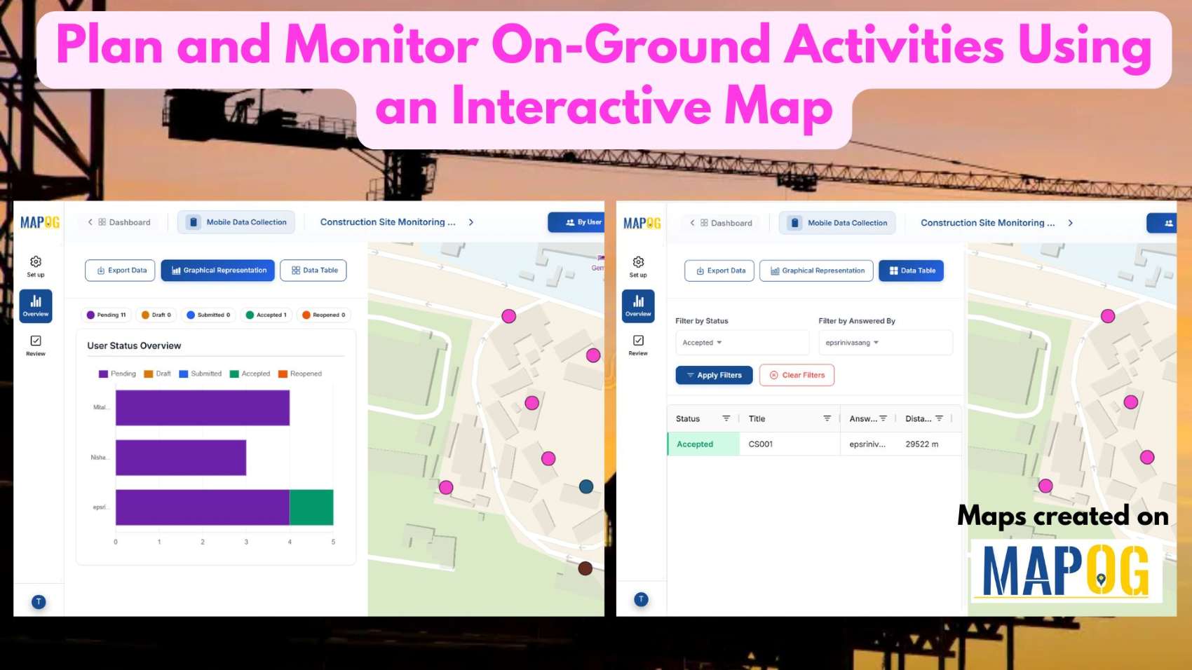
Plan and Monitor On-Ground Activities

Plan and Monitor On-Ground Activities Using an Interactive Map

In today’s fast-paced operational environment, plan and monitor on-ground activities across multiple locations can quickly become complex and inefficient when handled through disconnected tools. Teams often struggle with limited visibility, delayed updates, and scattered communication, which slows execution and decision-making. With MAPOG, organizations can centralize their planning and monitoring processes on a single interactive map. … Read more

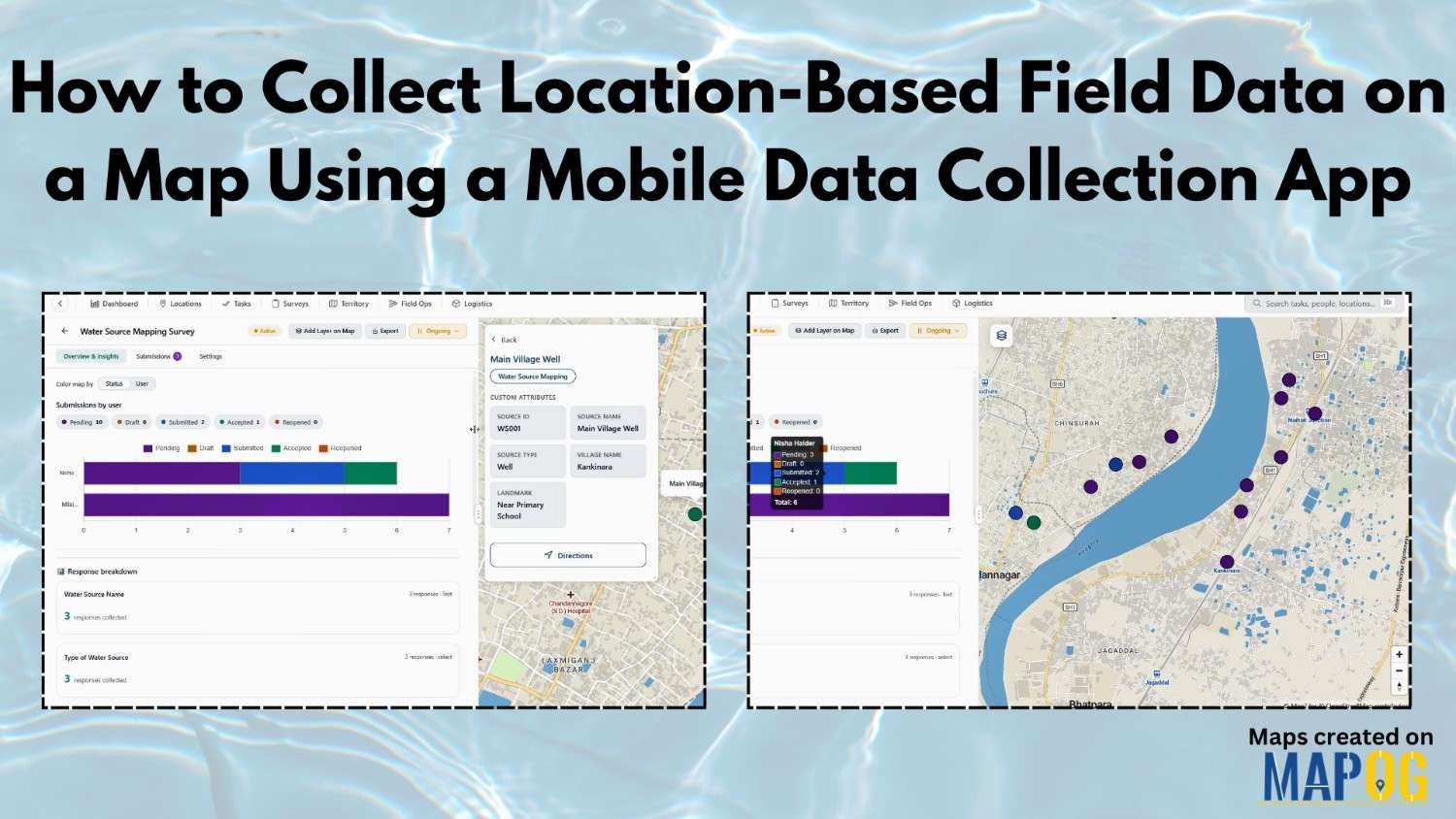
Collect Location-Based Field Data

How to Collect Location-Based Field Data on a Map Using a Mobile Data Collection App

Collect Location-Based Field Data face many challenges due to reliance on paper records and delayed updates, leading to errors in water source mapping and village development projects. The MAPOG Survey and MAPOG Contributor mobile app address these issues by enabling real-time data collection on live maps, improving accuracy and decision-making. With MAPOG, teams can assign … Read more