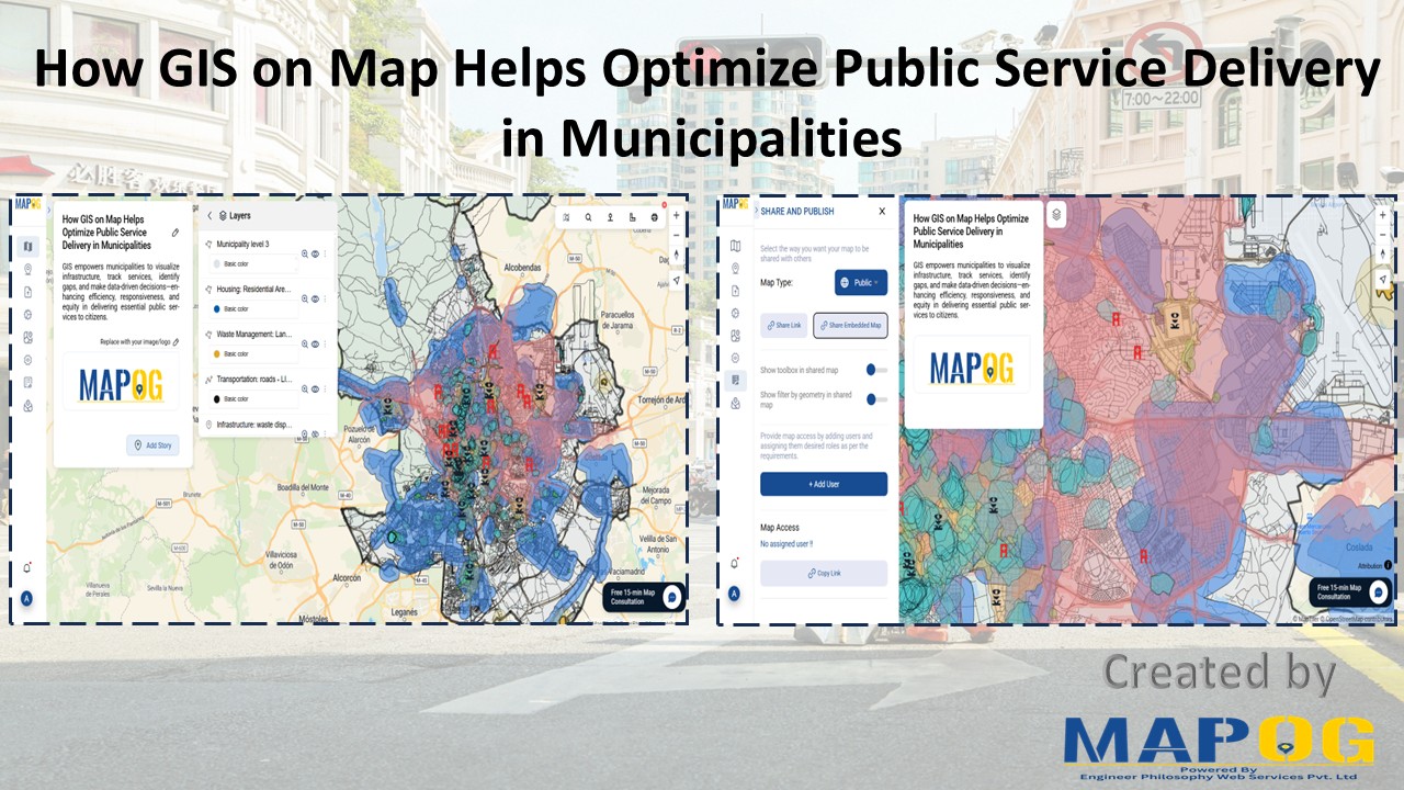
How GIS Mapping Optimizes Public Service Delivery in Municipalities
In today’s data-driven world, GIS Mapping Optimizes Public Service Delivery by transforming how cities manage essential services. MAPOG help planners visualize, analyze, and optimize infrastructure such as waste management, healthcare, and safety. With targeted layers like Public Health Maps and tools to Map EV Charging Stations, cities address both core needs and sustainability goals. As … Read more
